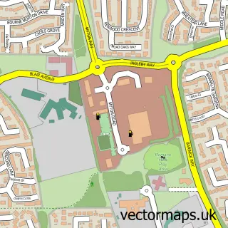
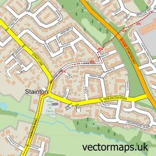
This Preston-on-Tees street map is a detailed vector street map covering a 750m x 750m area. Select a larger area to create and download your own vector street map of Preston-on-Tees.
The 750-metre map sample for Preston-on-Tees covers 242 mapped buildings and approximately 8.5 km of road detail, of which 19 named roads are named. The immediate area includes 1 school, 2 GP surgeries within 2 miles and 1 MOT station, with 21 within 2 miles. The wider area around Preston-on-Tees features 7 tourism points of interest and 1 food and drink venue. To create a larger or custom map of Preston-on-Tees, the map builder lets you define your own coverage area and download editable SVG, PDF and PNG files.
Create a larger editable map of Preston-on-Tees
Choose any area you need and generate a high-quality vector map instantly. Perfect for print, planning, design, business and personal use.

This Preston-on-Tees street map in Durham is available as downloadable SVG, PDF and PNG map files, or as a printed map for planning, business, display, education, local information and design work. You can also create a larger custom map area using the map selector.
What this Preston-on-Tees map sample shows
Preston-on-Tees lies within Preston-On-Tees Cp parish, part of Eaglescliffe ward in the Stockton-On-Tees (B) local authority area. The postcode geography for this area includes the TS postcode area, the TS16 postcode district and the TS16 9 postcode sector. Residents fall under the Nhs North East And North Cumbria Integrated Care Board for NHS services.
Local features near Preston-on-Tees
Within 2 milesAmenities and services in and around Preston-on-Tees.
Administrative and postcode information for Preston-on-Tees
Preston-on-Tees lies within Preston-On-Tees Cp parish, part of Eaglescliffe ward in the Stockton-On-Tees (B) local authority area. The postcode geography for this area includes the TS postcode area, the TS16 postcode district and the TS16 9 postcode sector. Residents fall under the Nhs North East And North Cumbria Integrated Care Board for NHS services.
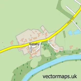
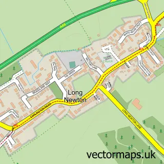
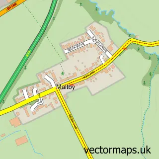
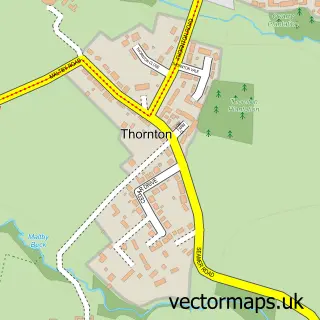
Nearby street map samples around Preston-on-Tees

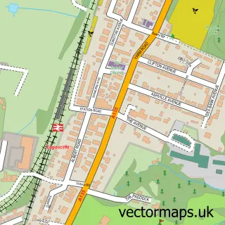
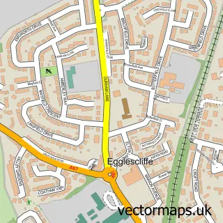
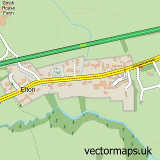
More street maps in Durham
750 metre map area coverage
Boundary, postcode and point of interest information for the 750m x 750m rectangle centred on this sample map.
Boundaries containing map centre
Constituency: Stockton West Co Const
District: Stockton-on-Tees (B)
Icb: NHS North East and North Cumbria ICB
Parish: Preston-on-Tees CP
Police Force: cleveland
Postcode District: TS16
Postcode Sector: TS16 0
Ward: Eaglescliffe East Ward
Nearby boundaries intersecting sample
Postcode District: TS18
Postcode Sector: TS16 9, TS18 3
Postcode coverage
POI category counts
Gas Station: 5
Convenience Store: 2
Driving School: 2
Engineering Services: 2
Landmark And Historical Building: 2
Park: 2
Shipping Center: 2
Assisted Living Facility: 1
Attractions And Activities: 1
Barber: 1
Sample points of interest
- Oak Road Residential Care Home
- Teesside Small Gauge Railway
- Liam James 'The Barber Shop' Eaglesciffe
- Citroën
- Claire's Kitchen and Deli
- Preston Children Centre
- Simon the Sweep
- Costa Express
- Grass Roots Garden Services
- Londis EAGLE SERVICE STATION
- Nisa
- Big Beat Discos & Karaoke
Create a larger editable map of Preston-on-Tees
This sample shows only a 750 metre area. To create a larger map of Preston-on-Tees, use our map builder to choose your own coverage area, add titles and download editable SVG, PDF and PNG files.
Create a custom map of Preston-on-Tees