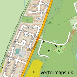
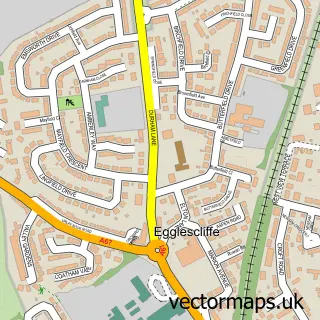
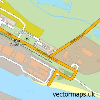
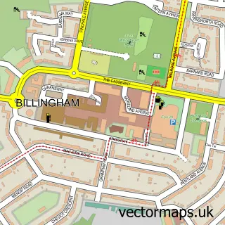
This Stockton-on-Tees street map is a detailed vector street map covering a 750m x 750m area. Select a larger area to create and download your own vector street map of Stockton-on-Tees.
The 750-metre map sample for Stockton-on-Tees covers 158 mapped buildings and approximately 23.2 km of road detail, of which 62 named roads are named. The immediate area includes 1 school, 11 GP surgeries within 2 miles, 33 pubs and 3 MOT stations, with 42 within 2 miles. The wider area around Stockton-on-Tees features 5 tourism points of interest, 79 food and drink venues and 6 hotels. To create a larger or custom map of Stockton-on-Tees, the map builder lets you define your own coverage area and download editable SVG, PDF and PNG files.
Create a larger editable map of Stockton-on-Tees
Choose any area you need and generate a high-quality vector map instantly. Perfect for print, planning, design, business and personal use.

This Stockton-on-Tees street map in Durham is available as downloadable SVG, PDF and PNG map files, or as a printed map for planning, business, display, education, local information and design work. You can also create a larger custom map area using the map selector.
What this Stockton-on-Tees map sample shows
Stockton-on-Tees lies within Stockton-On-Tees (B) parish, part of Stockton Town Centre ward in the Stockton-On-Tees (B) local authority area. The postcode geography for this area includes the TS postcode area, the TS18 postcode district and the TS18 1 postcode sector. Residents fall under the Nhs North East And North Cumbria Integrated Care Board for NHS services.
Local features near Stockton-on-Tees
Within 2 milesAmenities and services in and around Stockton-on-Tees.
Administrative and postcode information for Stockton-on-Tees
The local authority covering Stockton-on-Tees is Stockton-On-Tees (B), within the county of Durham. The settlement lies within Stockton Town Centre ward and Stockton-On-Tees (B) civil parish. The TS18 postcode district and TS18 1 postcode sector serve the immediate area. NHS provision in the area is delivered through North Tees And Hartlepool Nhs Foundation Trust.
Nearby street map samples around Stockton-on-Tees

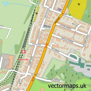
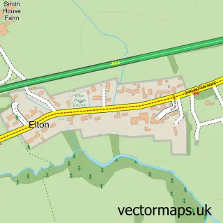
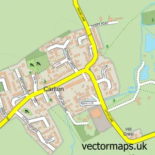
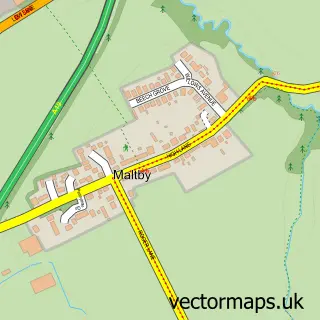
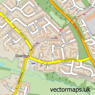
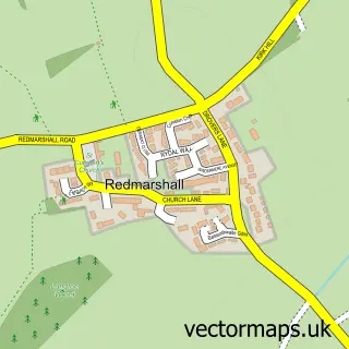
More street maps in Durham
750 metre map area coverage
Boundary, postcode and point of interest information for the 750m x 750m rectangle centred on this sample map.
Boundaries containing map centre
Constituency: Stockton North Co Const
District: Stockton-on-Tees (B)
Icb: NHS North East and North Cumbria ICB
Police Force: cleveland
Postcode District: TS18
Postcode Sector: TS18 1
Ward: Stockton Town Centre Ward
Nearby boundaries intersecting sample
Constituency: Middlesbrough and Thornaby East Boro Const
Parish: Thornaby CP
Postcode District: TS17
Postcode Sector: TS17 6, TS18 2, TS18 3
Ward: Mandale & Victoria Ward, Ropner Ward
Postcode coverage
POI category counts
Pub: 33
Beauty Salon: 32
Bar: 22
Real Estate Agent: 20
Hair Salon: 19
Cafe: 18
Professional Services: 18
Mobile Phone Store: 17
Barber: 16
Automotive Repair: 15
Sample points of interest
- Barkess & Co
- Guidon Group
- Stockton's Learning Towns
- Northern Slimming Clinic
- Noble Organisation
- Butterwick Hospice Retail
- The Used Furniture & Appliances Warehouse
- Admiral Slots
- Al Murad DIY
- Artmart
- Frame It
- Just Believe
Create a larger editable map of Stockton-on-Tees
This sample shows only a 750 metre area. To create a larger map of Stockton-on-Tees, use our map builder to choose your own coverage area, add titles and download editable SVG, PDF and PNG files.
Create a custom map of Stockton-on-Tees