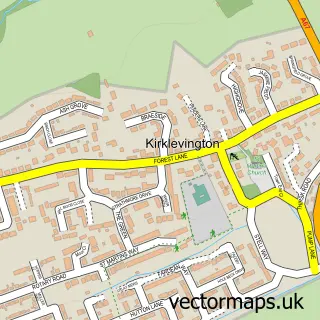
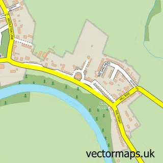
This Aislaby street map is a detailed vector street map covering a 750m x 750m area. Select a larger area to create and download your own vector street map of Aislaby.
The 750-metre map sample for Aislaby covers 59 mapped buildings and approximately 3.8 km of road detail, of which 2 named roads are named. The immediate area includes 2 GP surgeries within 2 miles and 3 MOT stations within 2 miles. The wider area around Aislaby features 1 tourism point of interest and 1 campsite within 2 miles. To create a larger or custom map of Aislaby, the map builder lets you define your own coverage area and download editable SVG, PDF and PNG files.
Create a larger editable map of Aislaby
Choose any area you need and generate a high-quality vector map instantly. Perfect for print, planning, design, business and personal use.

This Aislaby street map in Durham is available as downloadable SVG, PDF and PNG map files, or as a printed map for planning, business, display, education, local information and design work. You can also create a larger custom map area using the map selector.
What this Aislaby map sample shows
Aislaby lies within Aislaby Cp parish, part of Eaglescliffe ward in the Stockton-On-Tees (B) local authority area. The postcode geography for this area includes the TS postcode area, the TS16 postcode district and the TS16 0 postcode sector. Residents fall under the Nhs North East And North Cumbria Integrated Care Board for NHS services.
Local features near Aislaby
Within 2 milesAmenities and services in and around Aislaby.
Administrative and postcode information for Aislaby
The local authority covering Aislaby is Stockton-On-Tees (B), within the county of Durham. The settlement lies within Eaglescliffe ward and Aislaby Cp civil parish. The TS16 postcode district and TS16 0 postcode sector serve the immediate area. NHS provision in the area is delivered through North Tees And Hartlepool Nhs Foundation Trust.
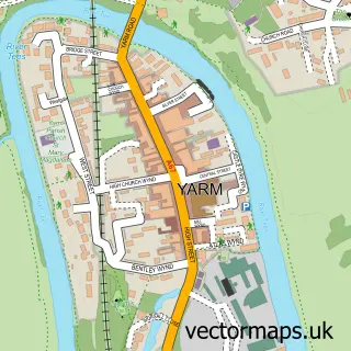
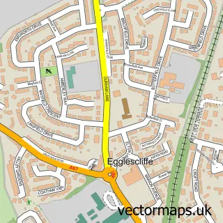
Nearby street map samples around Aislaby

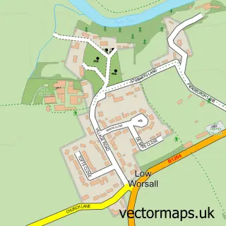
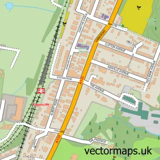
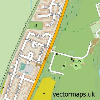
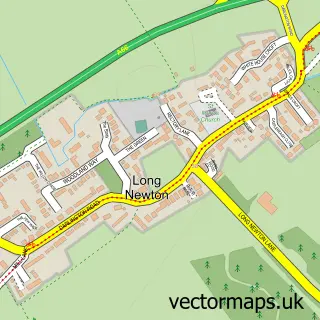
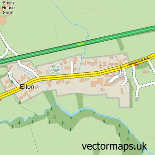
More street maps in Durham
750 metre map area coverage
Boundary, postcode and point of interest information for the 750m x 750m rectangle centred on this sample map.
Boundaries containing map centre
Constituency: Stockton West Co Const
District: Stockton-on-Tees (B)
Icb: NHS North East and North Cumbria ICB
Parish: Aislaby CP
Police Force: cleveland
Postcode District: TS16
Postcode Sector: TS16 0
Ward: Eaglescliffe West Ward
Nearby boundaries intersecting sample
Parish: Yarm CP
Postcode District: TS15
Postcode Sector: TS15 9
Ward: Yarm Ward
Postcode coverage
POI category counts
Art Gallery: 1
Campground: 1
Cottage: 1
Home Improvement Store: 1
Horse Equipment Shop: 1
Sports And Recreation Venue: 1
Yoga Studio: 1
Sample points of interest
- T B & R Jordan
- Yarm View Campsite
- White House Barn
- Stokesley Home Improvements
- Showing Selection
- Showing Selection
- lGrounded Retreats @ Love Abode Yoga
Create a larger editable map of Aislaby
This sample shows only a 750 metre area. To create a larger map of Aislaby, use our map builder to choose your own coverage area, add titles and download editable SVG, PDF and PNG files.
Create a custom map of Aislaby