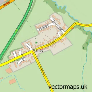
This Yarm street map is a detailed vector street map covering a 750m x 750m area. Select a larger area to create and download your own vector street map of Yarm.
The 750-metre map sample for Yarm covers 206 mapped buildings and approximately 8.7 km of road detail, of which 19 named roads are named. The immediate area includes 1 school, 2 GP surgeries within 2 miles, 13 pubs and 5 MOT stations within 2 miles. The wider area around Yarm features 4 tourism points of interest, 28 food and drink venues and 2 hotels. To create a larger or custom map of Yarm, the map builder lets you define your own coverage area and download editable SVG, PDF and PNG files.
Create a larger editable map of Yarm
Choose any area you need and generate a high-quality vector map instantly. Perfect for print, planning, design, business and personal use.

This Yarm street map in North Yorkshire is available as downloadable SVG, PDF and PNG map files, or as a printed map for planning, business, display, education, local information and design work. You can also create a larger custom map area using the map selector.
What this Yarm map sample shows
Yarm lies within Yarm Cp parish, part of Yarm ward in the Stockton-On-Tees (B) local authority area. The postcode geography for this area includes the TS postcode area, the TS15 postcode district and the TS15 9 postcode sector. Residents fall under the Nhs North East And North Cumbria Integrated Care Board for NHS services.
Local features near Yarm
Within 2 milesAmenities and services in and around Yarm.
Administrative and postcode information for Yarm
The local authority covering Yarm is Stockton-On-Tees (B), within the county of North Yorkshire. The settlement lies within Yarm ward and Yarm Cp civil parish. The TS15 postcode district and TS15 9 postcode sector serve the immediate area. NHS provision in the area is delivered through North Tees And Hartlepool Nhs Foundation Trust.
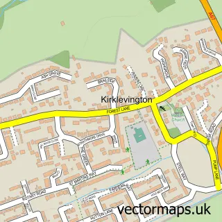
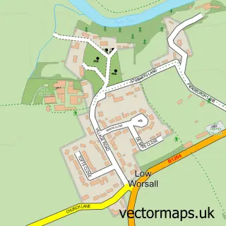
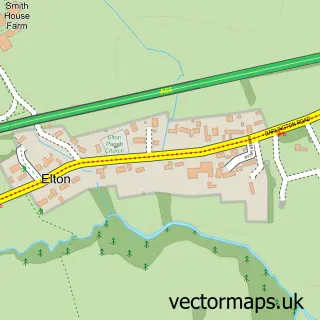
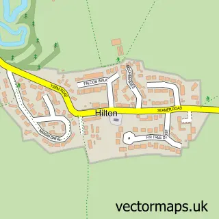
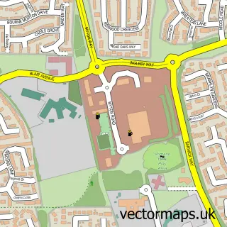
Nearby street map samples around Yarm

More street maps in North Yorkshire
750 metre map area coverage
Boundary, postcode and point of interest information for the 750m x 750m rectangle centred on this sample map.
Boundaries containing map centre
Constituency: Stockton West Co Const
District: Stockton-on-Tees (B)
Icb: NHS North East and North Cumbria ICB
Parish: Yarm CP
Police Force: cleveland
Postcode District: TS15
Postcode Sector: TS15 9
Ward: Yarm Ward
Nearby boundaries intersecting sample
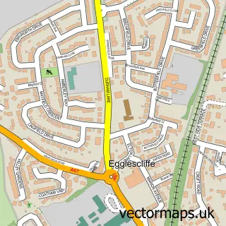
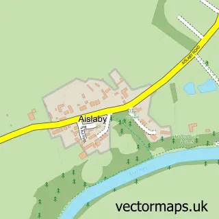
Parish: Aislaby CP, Egglescliffe CP
Postcode District: TS16
Postcode Sector: TS16 0, TS16 9
Ward: Eaglescliffe East Ward, Eaglescliffe West Ward
Postcode coverage
POI category counts
Beauty Salon: 18
Pub: 13
Hair Salon: 11
Italian Restaurant: 8
Coffee Shop: 7
Real Estate Agent: 7
Beauty And Spa: 6
Childrens Clothing Store: 6
Jewelry Store: 6
Bar: 5
Sample points of interest
- Egglescliffe Village
- Shackleton Rodgers Ltd
- TaxAssist Accountants
- Evolve children
- Mowbray Acupuncture Clinic
- RDW Advertising
- Yarm Osteopaths & Physiotherapy Clinic
- St John the Baptist
- St Mary Magdalene
- Rudby House Antiques and Decor
- Lucy Pittaway Gallery
- Yarm Contemporary Art
Create a larger editable map of Yarm
This sample shows only a 750 metre area. To create a larger map of Yarm, use our map builder to choose your own coverage area, add titles and download editable SVG, PDF and PNG files.
Create a custom map of Yarm