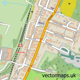
This Kirklevington street map is a detailed vector street map covering a 750m x 750m area. Select a larger area to create and download your own vector street map of Kirklevington.
The 750-metre map sample for Kirklevington covers 397 mapped buildings and approximately 10.6 km of road detail, of which 18 named roads are named. The immediate area includes 1 school, 1 GP surgery within 2 miles and 1 MOT station within 2 miles. The wider area around Kirklevington features 1 hotel and 1 campsite within 2 miles. To create a larger or custom map of Kirklevington, the map builder lets you define your own coverage area and download editable SVG, PDF and PNG files.
Create a larger editable map of Kirklevington
Choose any area you need and generate a high-quality vector map instantly. Perfect for print, planning, design, business and personal use.

This Kirklevington street map in North Yorkshire is available as downloadable SVG, PDF and PNG map files, or as a printed map for planning, business, display, education, local information and design work. You can also create a larger custom map area using the map selector.
What this Kirklevington map sample shows
Kirklevington lies within Kirklevington Cp parish, part of Yarm ward in the Stockton-On-Tees (B) local authority area. The postcode geography for this area includes the TS postcode area, the TS15 postcode district and the TS15 9 postcode sector. Residents fall under the Nhs North East And North Cumbria Integrated Care Board for NHS services.
Local features near Kirklevington
Within 2 milesAmenities and services in and around Kirklevington.
Administrative and postcode information for Kirklevington
Kirklevington lies within Kirklevington Cp parish, part of Yarm ward in the Stockton-On-Tees (B) local authority area. The postcode geography for this area includes the TS postcode area, the TS15 postcode district and the TS15 9 postcode sector. Residents fall under the Nhs North East And North Cumbria Integrated Care Board for NHS services.
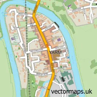
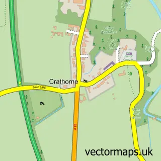
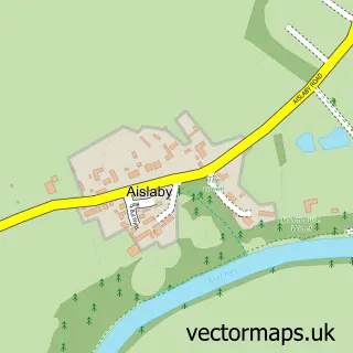
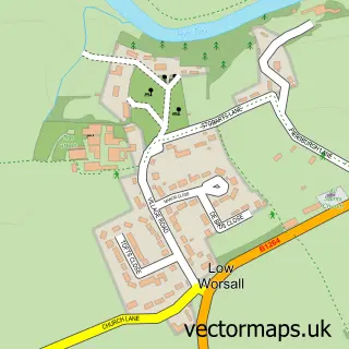
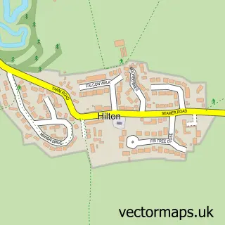
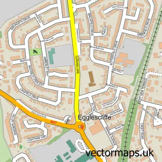
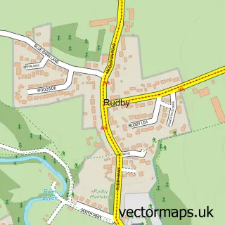
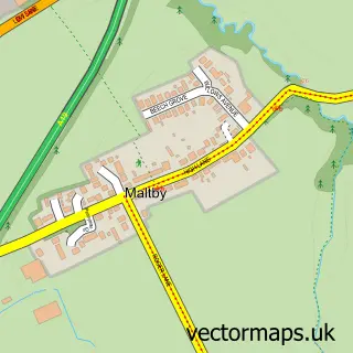
Nearby street map samples around Kirklevington

More street maps in North Yorkshire
750 metre map area coverage
Boundary, postcode and point of interest information for the 750m x 750m rectangle centred on this sample map.
Boundaries containing map centre
Constituency: Stockton West Co Const
District: Stockton-on-Tees (B)
Icb: NHS North East and North Cumbria ICB
Parish: Kirklevington CP
Police Force: cleveland
Postcode District: TS15
Postcode Sector: TS15 9
Ward: Southern Villages Ward
Nearby boundaries intersecting sample
No additional intersecting boundaries found.
Postcode coverage
POI category counts
Contractor: 2
Electrician: 2
Anglican Church: 1
Automotive Repair: 1
Beauty And Spa: 1
Builders: 1
Counseling And Mental Health: 1
Dance School: 1
Elementary School: 1
Event Planning: 1
Sample points of interest
- St Martin and St Hilary
- Arncliffe Garage
- Bumble Aesthetics
- St. Martin's Green (Sold Out) - Story Homes, Yarm
- Loft Solutions
- North Riding Property Development
- Deborah Ellenor UK C P Registered Psychotherapist
- Strictly Dance Infusion
- ALPS Electrical
- Adams Electrical Services
- Kirklevington Primary School
- Kirklevington Village Hall
Create a larger editable map of Kirklevington
This sample shows only a 750 metre area. To create a larger map of Kirklevington, use our map builder to choose your own coverage area, add titles and download editable SVG, PDF and PNG files.
Create a custom map of Kirklevington