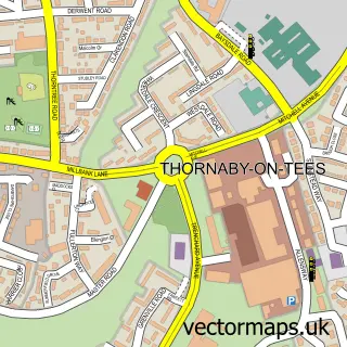
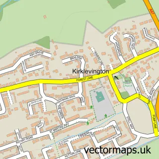
This Thornton street map is a detailed vector street map covering a 750m x 750m area. Select a larger area to create and download your own vector street map of Thornton.
The 750-metre map sample for Thornton covers 143 mapped buildings and approximately 7.2 km of road detail, of which 7 named roads are named. The immediate area includes 3 GP surgeries within 2 miles and 2 MOT stations within 2 miles. The wider area around Thornton features 1 tourism point of interest. To create a larger or custom map of Thornton, the map builder lets you define your own coverage area and download editable SVG, PDF and PNG files.
Create a larger editable map of Thornton
Choose any area you need and generate a high-quality vector map instantly. Perfect for print, planning, design, business and personal use.

This Thornton street map in North Yorkshire is available as downloadable SVG, PDF and PNG map files, or as a printed map for planning, business, display, education, local information and design work. You can also create a larger custom map area using the map selector.
What this Thornton map sample shows
Thornton lies within Stainton And Thornton Cp parish, part of Stainton & Thornton ward in the Middlesbrough (B) local authority area. The postcode geography for this area includes the TS postcode area, the TS8 postcode district and the TS8 9 postcode sector. Residents fall under the Nhs North East And North Cumbria Integrated Care Board for NHS services.
Local features near Thornton
Within 2 milesAmenities and services in and around Thornton.
Administrative and postcode information for Thornton
The local authority covering Thornton is Middlesbrough (B), within the county of North Yorkshire. The settlement lies within Stainton & Thornton ward and Stainton And Thornton Cp civil parish. The TS8 postcode district and TS8 9 postcode sector serve the immediate area. NHS provision in the area is delivered through South Tees Hospitals Nhs Foundation Trust.
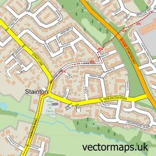
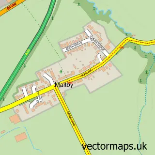
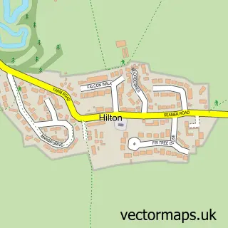
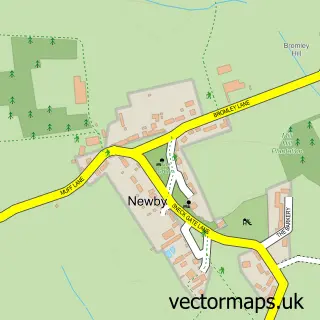
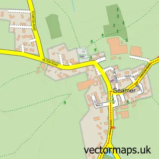
Nearby street map samples around Thornton

More street maps in North Yorkshire
750 metre map area coverage
Boundary, postcode and point of interest information for the 750m x 750m rectangle centred on this sample map.
Boundaries containing map centre
Constituency: Middlesbrough South and East Cleveland Co Const
District: Middlesbrough (B)
Icb: NHS North East and North Cumbria ICB
Parish: Stainton and Thornton CP
Police Force: cleveland
Postcode District: TS8
Postcode Sector: TS8 9
Ward: Stainton & Thornton Ward
Nearby boundaries intersecting sample
Constituency: Stockton West Co Const
District: Stockton-on-Tees (B)
Parish: Maltby CP
Postcode Sector: TS8 0
Ward: Southern Villages Ward
Postcode coverage
POI category counts
Kids Recreation And Party: 2
Advertising Agency: 1
Construction Services: 1
Home Improvement Store: 1
Lake: 1
Landmark And Historical Building: 1
Pet Boarding: 1
Pet Groomer: 1
Sample points of interest
- A & D S Creative
- Thornton Drainage Services
- JT Atkinson Showroom
- Bestpartycasino
- Bestpartycasino
- Kell Gate Green
- Thornton, Middlesbrough
- Water Wheel Boarding Kennels
- The Paw Pad Stainton
Create a larger editable map of Thornton
This sample shows only a 750 metre area. To create a larger map of Thornton, use our map builder to choose your own coverage area, add titles and download editable SVG, PDF and PNG files.
Create a custom map of Thornton