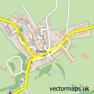
This Wolviston street map is a detailed vector street map covering a 750m x 750m area. Select a larger area to create and download your own vector street map of Wolviston.
The 750-metre map sample for Wolviston covers 297 mapped buildings and approximately 17.8 km of road detail, of which 20 named roads are named. The immediate area includes 1 school, 6 GP surgeries within 2 miles, 1 pub and 6 MOT stations within 2 miles. The wider area around Wolviston features 1 tourism point of interest and 1 food and drink venue. To create a larger or custom map of Wolviston, the map builder lets you define your own coverage area and download editable SVG, PDF and PNG files.
Create a larger editable map of Wolviston
Choose any area you need and generate a high-quality vector map instantly. Perfect for print, planning, design, business and personal use.

This Wolviston street map in Durham is available as downloadable SVG, PDF and PNG map files, or as a printed map for planning, business, display, education, local information and design work. You can also create a larger custom map area using the map selector.
What this Wolviston map sample shows
Wolviston lies within Wolviston Cp parish, part of Northern Parishes ward in the Stockton-On-Tees (B) local authority area. The postcode geography for this area includes the TS postcode area, the TS22 postcode district and the TS22 5 postcode sector. Residents fall under the Nhs North East And North Cumbria Integrated Care Board for NHS services.
Local features near Wolviston
Within 2 milesAmenities and services in and around Wolviston.
Administrative and postcode information for Wolviston
Wolviston lies within Wolviston Cp parish, part of Northern Parishes ward in the Stockton-On-Tees (B) local authority area. The postcode geography for this area includes the TS postcode area, the TS22 postcode district and the TS22 5 postcode sector. Residents fall under the Nhs North East And North Cumbria Integrated Care Board for NHS services.
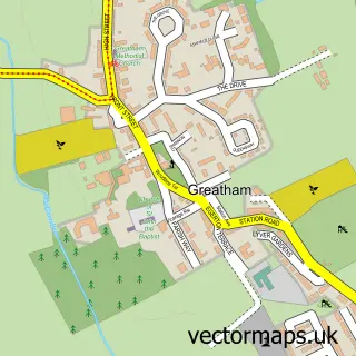
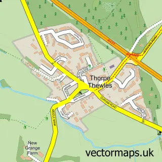
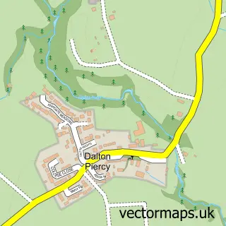
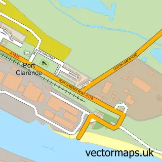
Nearby street map samples around Wolviston

More street maps in Durham
750 metre map area coverage
Boundary, postcode and point of interest information for the 750m x 750m rectangle centred on this sample map.
Boundaries containing map centre
Constituency: Stockton North Co Const
District: Stockton-on-Tees (B)
Icb: NHS North East and North Cumbria ICB
Parish: Wolviston CP
Police Force: cleveland
Postcode District: TS22
Postcode Sector: TS22 5
Ward: Billingham West & Wolviston Ward
Nearby boundaries intersecting sample
Constituency: Hartlepool Co Const
District: Hartlepool (B)
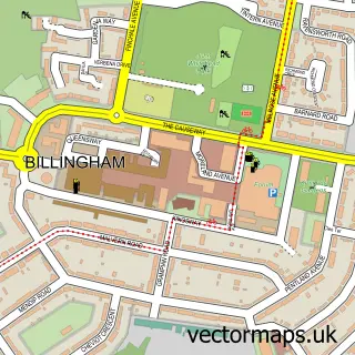
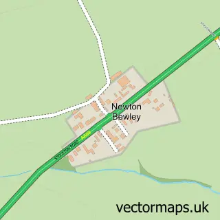
Parish: Billingham CP, Newton Bewley CP
Postcode District: TS23
Postcode Sector: TS23 3
Ward: Billingham North Ward, Fens & Greatham Ward
Postcode coverage
POI category counts
Beauty Salon: 3
Anglican Church: 1
Animal Shelter: 1
Auto Loan Provider: 1
Church Cathedral: 1
Community Center: 1
Contractor: 1
Currency Exchange: 1
Door Sales Service: 1
Driving School: 1
Sample points of interest
- St Peter's Wolviston
- Wolviston Village Cattery
- AWS Financial Solutions
- Absolute Beauty
- Paula’s Hairdressing
- SD Hairdressing
- St Peter's Church
- Wolviston Community Centre
- Michael Johns Builders
- Post Office Travel Money
- Timber Composite Doors
- Jule Control Driving School
Create a larger editable map of Wolviston
This sample shows only a 750 metre area. To create a larger map of Wolviston, use our map builder to choose your own coverage area, add titles and download editable SVG, PDF and PNG files.
Create a custom map of Wolviston