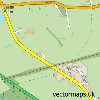
This Elwick street map is a detailed vector street map covering a 750m x 750m area. Select a larger area to create and download your own vector street map of Elwick.
The 750-metre map sample for Elwick covers 174 mapped buildings and approximately 10.7 km of road detail, of which 6 named roads are named. The immediate area includes 1 school and 3 pubs. The wider area around Elwick features 3 food and drink venues. To create a larger or custom map of Elwick, the map builder lets you define your own coverage area and download editable SVG, PDF and PNG files.
Create a larger editable map of Elwick
Choose any area you need and generate a high-quality vector map instantly. Perfect for print, planning, design, business and personal use.

This Elwick street map in Durham is available as downloadable SVG, PDF and PNG map files, or as a printed map for planning, business, display, education, local information and design work. You can also create a larger custom map area using the map selector.
What this Elwick map sample shows
Elwick lies within Elwick Cp parish, part of Rural West ward in the Hartlepool (B) local authority area. The postcode geography for this area includes the TS postcode area, the TS27 postcode district and the TS27 3 postcode sector. Residents fall under the Nhs North East And North Cumbria Integrated Care Board for NHS services.
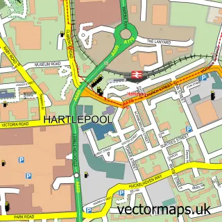
Local features near Elwick
Within 2 milesAmenities and services in and around Elwick.
Administrative and postcode information for Elwick
The local authority covering Elwick is Hartlepool (B), within the county of Durham. The settlement lies within Rural West ward and Elwick Cp civil parish. The TS27 postcode district and TS27 3 postcode sector serve the immediate area. NHS provision in the area is delivered through North Tees And Hartlepool Nhs Foundation Trust.
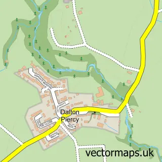
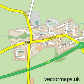
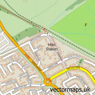
Nearby street map samples around Elwick

More street maps in Durham
750 metre map area coverage
Boundary, postcode and point of interest information for the 750m x 750m rectangle centred on this sample map.
Boundaries containing map centre
Constituency: Hartlepool Co Const
District: Hartlepool (B)
Icb: NHS North East and North Cumbria ICB
Parish: Elwick CP
Police Force: cleveland
Postcode District: TS27
Postcode Sector: TS27 3
Ward: Rural West Ward
Nearby boundaries intersecting sample
No additional intersecting boundaries found.
Postcode coverage
POI category counts
Pub: 3
Anglican Church: 1
Community Services Non Profits: 1
Construction Services: 1
Elementary School: 1
Farm: 1
Irish Pub: 1
Tea Room: 1
Theatre: 1
Sample points of interest
- St Peter
- Elwick Village
- Sheraton Design and Build
- St Peters Elwick Primary School
- Home Farm
- Spotted Cow
- The Mcorville Inn
- The Mcorville Inn
- The Spotted Cow | Hartlepool
- Coopers of Elwick Shop and Tea Room
- Rising Stars Performing Arts
Create a larger editable map of Elwick
This sample shows only a 750 metre area. To create a larger map of Elwick, use our map builder to choose your own coverage area, add titles and download editable SVG, PDF and PNG files.
Create a custom map of Elwick