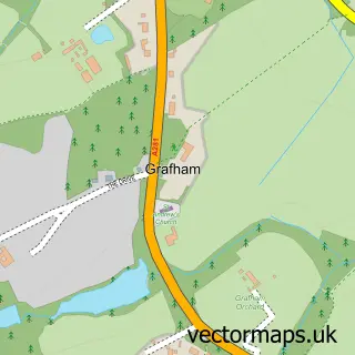
This Cranleigh street map is a detailed vector street map covering a 750m x 750m area. Select a larger area to create and download your own vector street map of Cranleigh.
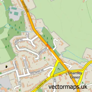
The 750-metre map sample for Cranleigh covers 360 mapped buildings and approximately 16.0 km of road detail, of which 34 named roads are named. The immediate area includes 2 primary schools and 1 secondary school, 1 GP surgery, 4 pubs and 5 MOT stations within 2 miles. The wider area around Cranleigh features 16 food and drink venues. To create a larger or custom map of Cranleigh, the map builder lets you define your own coverage area and download editable SVG, PDF and PNG files.
Create a larger editable map of Cranleigh
Choose any area you need and generate a high-quality vector map instantly. Perfect for print, planning, design, business and personal use.

This Cranleigh street map in Surrey is available as downloadable SVG, PDF and PNG map files, or as a printed map for planning, business, display, education, local information and design work. You can also create a larger custom map area using the map selector.
What this Cranleigh map sample shows
Cranleigh lies within Cranleigh Cp parish, part of Cranleigh East ward in the Waverley District (B) local authority area. The postcode geography for this area includes the GU postcode area, the GU6 postcode district and the GU6 7 postcode sector. Residents fall under the Nhs Surrey Heartlands Integrated Care Board for NHS services.
Local features near Cranleigh
Within 2 milesAmenities and services in and around Cranleigh.
Administrative and postcode information for Cranleigh
The local authority covering Cranleigh is Waverley District (B), within the county of Surrey. The settlement lies within Cranleigh East ward and Cranleigh Cp civil parish. The GU6 postcode district and GU6 7 postcode sector serve the immediate area. NHS provision in the area is delivered through Royal Surrey County Hospital Nhs Foundation Trust.
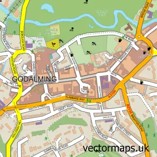
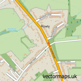
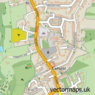
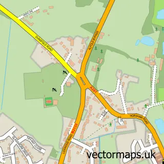
Nearby street map samples around Cranleigh

More street maps in Surrey
750 metre map area coverage
Boundary, postcode and point of interest information for the 750m x 750m rectangle centred on this sample map.
Boundaries containing map centre
Constituency: Godalming and Ash Co Const
County: Surrey County
District: Waverley District (B)
Icb: NHS Surrey and Sussex ICB
Parish: Cranleigh CP
Police Force: surrey
Postcode District: GU6
Postcode Sector: GU6 8
Ward: Cranleigh East Ward
Nearby boundaries intersecting sample
Postcode Sector: GU6 7
Ward: Cranleigh West Ward
Postcode coverage
POI category counts
Real Estate Agent: 7
Coffee Shop: 6
Bank Credit Union: 5
Beauty Salon: 5
Professional Services: 5
Retail: 5
Banks: 4
Cafe: 4
Department Store: 4
Employment Agencies: 4
Sample points of interest
- AIMS Accountants for Business
- Compass International Media
- Martin Bamford Photography
- Cranleigh Osteopathic Practice
- Cranleigh FC Women's Team
- Cranleigh: St Nicolas
- St Nicolas Church
- Moat Lodge
- The Cooperative Food (BF) Cranleigh
- Trim Wizard
- Audi Leasing
- Audi Leasing
Create a larger editable map of Cranleigh
This sample shows only a 750 metre area. To create a larger map of Cranleigh, use our map builder to choose your own coverage area, add titles and download editable SVG, PDF and PNG files.
Create a custom map of Cranleigh