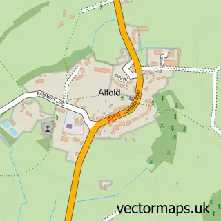
This Alfold Crossways street map is a detailed vector street map covering a 750m x 750m area. Select a larger area to create and download your own vector street map of Alfold Crossways.
The 750-metre map sample for Alfold Crossways covers 197 mapped buildings and approximately 8.1 km of road detail, of which 8 named roads are named. The immediate area includes 2 MOT stations within 2 miles. The wider area around Alfold Crossways features 2 food and drink venues. To create a larger or custom map of Alfold Crossways, the map builder lets you define your own coverage area and download editable SVG, PDF and PNG files.
Create a larger editable map of Alfold Crossways
Choose any area you need and generate a high-quality vector map instantly. Perfect for print, planning, design, business and personal use.

This Alfold Crossways street map in Surrey is available as downloadable SVG, PDF and PNG map files, or as a printed map for planning, business, display, education, local information and design work. You can also create a larger custom map area using the map selector.
What this Alfold Crossways map sample shows
Alfold Crossways lies within Alfold Cp parish, part of Alfold, Cranleigh Rural And Ellens Green ward in the Waverley District (B) local authority area. The postcode geography for this area includes the GU postcode area, the GU6 postcode district and the GU6 8 postcode sector. Residents fall under the Nhs Surrey Heartlands Integrated Care Board for NHS services.
Local features near Alfold Crossways
Within 2 milesAmenities and services in and around Alfold Crossways.
Administrative and postcode information for Alfold Crossways
The local authority covering Alfold Crossways is Waverley District (B), within the county of Surrey. The settlement lies within Alfold, Cranleigh Rural And Ellens Green ward and Alfold Cp civil parish. The GU6 postcode district and GU6 8 postcode sector serve the immediate area. NHS provision in the area is delivered through Royal Surrey County Hospital Nhs Foundation Trust.
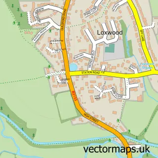
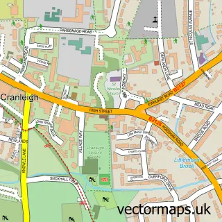
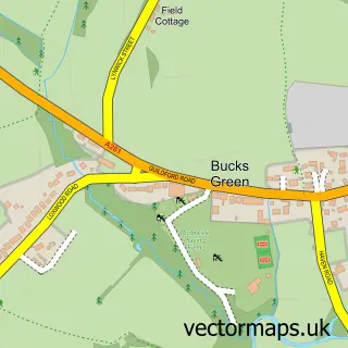
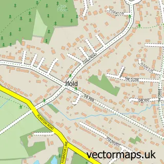
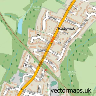
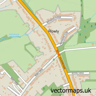
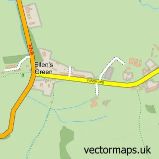
Nearby street map samples around Alfold Crossways

More street maps in Surrey
750 metre map area coverage
Boundary, postcode and point of interest information for the 750m x 750m rectangle centred on this sample map.
Boundaries containing map centre
Constituency: Godalming and Ash Co Const
County: Surrey County
District: Waverley District (B)
Icb: NHS Surrey and Sussex ICB
Parish: Alfold CP
Police Force: surrey
Postcode District: GU6
Postcode Sector: GU6 8
Ward: Alfold, Dunsfold & Hascombe Ward
Nearby boundaries intersecting sample
No additional intersecting boundaries found.
Postcode coverage
POI category counts
Convenience Store: 2
Gas Station: 2
Landscape Architect: 2
Antique Store: 1
Atms: 1
Automotive Repair: 1
Building Supply Store: 1
Business Management Services: 1
Cafe: 1
Coffee Shop: 1
Sample points of interest
- Croft Curios
- BP - Alford (attack re-install), Cranleigh
- Tyre Booth
- Titchmarsh Tree Surgeons
- Country Pursuits UK
- Wild Bean Café
- bp pulse Charging Station
- Development London
- M&S Simply Food
- SPAR MRH Alford
- Marks and Spencer
- Cuddle-Me-Do Mobile Farm
Create a larger editable map of Alfold Crossways
This sample shows only a 750 metre area. To create a larger map of Alfold Crossways, use our map builder to choose your own coverage area, add titles and download editable SVG, PDF and PNG files.
Create a custom map of Alfold Crossways