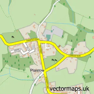
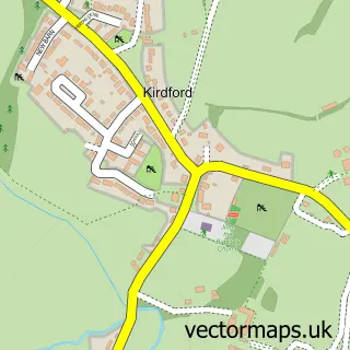
This Loxwood street map is a detailed vector street map covering a 750m x 750m area. Select a larger area to create and download your own vector street map of Loxwood.
The 750-metre map sample for Loxwood covers 282 mapped buildings and approximately 8.3 km of road detail, of which 17 named roads are named. The immediate area includes 1 school, 1 GP surgery, 1 pub and 1 MOT station within 2 miles. The wider area around Loxwood features 1 tourism point of interest, 1 food and drink venue and 1 campsite within 2 miles. To create a larger or custom map of Loxwood, the map builder lets you define your own coverage area and download editable SVG, PDF and PNG files.
Create a larger editable map of Loxwood
Choose any area you need and generate a high-quality vector map instantly. Perfect for print, planning, design, business and personal use.

This Loxwood street map in West Sussex is available as downloadable SVG, PDF and PNG map files, or as a printed map for planning, business, display, education, local information and design work. You can also create a larger custom map area using the map selector.
What this Loxwood map sample shows
Loxwood lies within Loxwood Cp parish, part of Loxwood ward in the Chichester District local authority area. The postcode geography for this area includes the RH postcode area, the RH14 postcode district and the RH14 0 postcode sector. Residents fall under the Nhs Sussex Integrated Care Board for NHS services.
Local features near Loxwood
Within 2 milesAmenities and services in and around Loxwood.
Administrative and postcode information for Loxwood
Loxwood lies within Loxwood Cp parish, part of Loxwood ward in the Chichester District local authority area. The postcode geography for this area includes the RH postcode area, the RH14 postcode district and the RH14 0 postcode sector. Residents fall under the Nhs Sussex Integrated Care Board for NHS services.
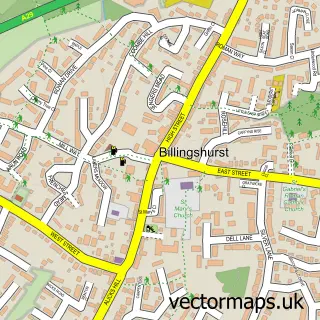
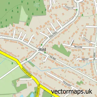
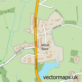
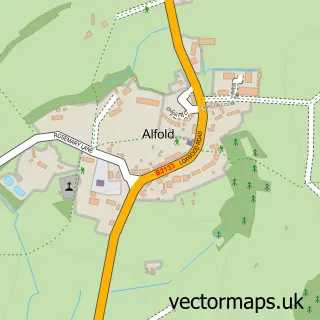
Nearby street map samples around Loxwood

More street maps in West Sussex
750 metre map area coverage
Boundary, postcode and point of interest information for the 750m x 750m rectangle centred on this sample map.
Boundaries containing map centre
Constituency: Arundel and South Downs Co Const
County: West Sussex County
District: Chichester District
Icb: NHS Surrey and Sussex ICB
Parish: Loxwood CP
Police Force: sussex
Postcode District: RH14
Postcode Sector: RH14 0
Ward: Loxwood Ward
Nearby boundaries intersecting sample
No additional intersecting boundaries found.
Postcode coverage
POI category counts
Beauty And Spa: 2
Doctor: 2
Flowers And Gifts Shop: 2
Hair Salon: 2
Accountant: 1
Advertising Agency: 1
Architectural Designer: 1
Auto Electrical Repair: 1
Automotive Services And Repair: 1
Bridal Shop: 1
Sample points of interest
- Bookkeeping Accountancy
- Silverback Studios Ltd.
- Minniedale Projects
- N P Stanley
- Weyandarun Canal Trust
- Justhairloxwood
- Loxwood Apothecary
- Steven Etheridge Wedding Photography
- Surrey & Sussex Tree Surgery
- Shibui Joinery
- Wey & Arun Canal Trust
- DBG building solutions
Create a larger editable map of Loxwood
This sample shows only a 750 metre area. To create a larger map of Loxwood, use our map builder to choose your own coverage area, add titles and download editable SVG, PDF and PNG files.
Create a custom map of Loxwood