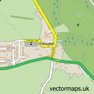
This Kirdford street map is a detailed vector street map covering a 750m x 750m area. Select a larger area to create and download your own vector street map of Kirdford.
The 750-metre map sample for Kirdford covers 166 mapped buildings and approximately 8.0 km of road detail, of which 4 named roads are named. The immediate area includes 2 pubs. The wider area around Kirdford features 2 food and drink venues. To create a larger or custom map of Kirdford, the map builder lets you define your own coverage area and download editable SVG, PDF and PNG files.
Create a larger editable map of Kirdford
Choose any area you need and generate a high-quality vector map instantly. Perfect for print, planning, design, business and personal use.

This Kirdford street map in West Sussex is available as downloadable SVG, PDF and PNG map files, or as a printed map for planning, business, display, education, local information and design work. You can also create a larger custom map area using the map selector.
What this Kirdford map sample shows
Kirdford lies within Kirdford Cp parish, part of Loxwood ward in the Chichester District local authority area. The postcode geography for this area includes the RH postcode area, the RH14 postcode district and the RH14 0 postcode sector. Residents fall under the Nhs Sussex Integrated Care Board for NHS services.
Local features near Kirdford
Within 2 milesAmenities and services in and around Kirdford.
Administrative and postcode information for Kirdford
Kirdford lies within Kirdford Cp parish, part of Loxwood ward in the Chichester District local authority area. The postcode geography for this area includes the RH postcode area, the RH14 postcode district and the RH14 0 postcode sector. Residents fall under the Nhs Sussex Integrated Care Board for NHS services.
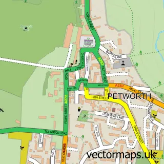
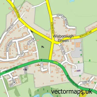
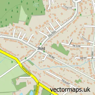
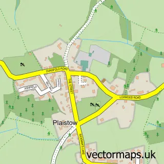
Nearby street map samples around Kirdford

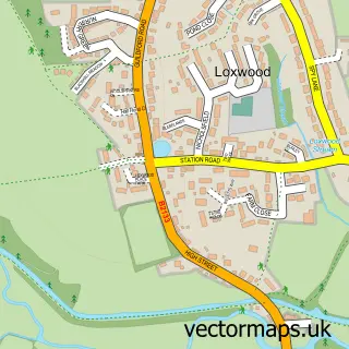
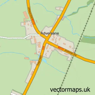
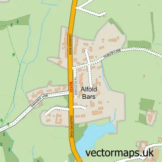
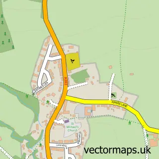
More street maps in West Sussex
750 metre map area coverage
Boundary, postcode and point of interest information for the 750m x 750m rectangle centred on this sample map.
Boundaries containing map centre
Constituency: Arundel and South Downs Co Const
County: West Sussex County
District: Chichester District
Icb: NHS Surrey and Sussex ICB
Parish: Kirdford CP
Police Force: sussex
Postcode District: RH14
Postcode Sector: RH14 0
Ward: Loxwood Ward
Nearby boundaries intersecting sample
No additional intersecting boundaries found.
Postcode coverage
POI category counts
Beauty Salon: 2
Pub: 2
Used Car Dealer: 2
Anglican Church: 1
Antique Store: 1
Arts And Entertainment: 1
Community Center: 1
Condominium: 1
Sample points of interest
- St John the Baptist
- Antiquated Antique Dealers
- Kirdford
- Make Believe Beauty
- Thuy Reynolds Nail
- Kirdford Village Hall
- Reliance Caravan & Motorhome Services
- The Foresters Arms
- The Half Moon
- Target Cars
- Watson Cars
Create a larger editable map of Kirdford
This sample shows only a 750 metre area. To create a larger map of Kirdford, use our map builder to choose your own coverage area, add titles and download editable SVG, PDF and PNG files.
Create a custom map of Kirdford