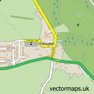
This Petworth street map is a detailed vector street map covering a 750m x 750m area. Select a larger area to create and download your own vector street map of Petworth.
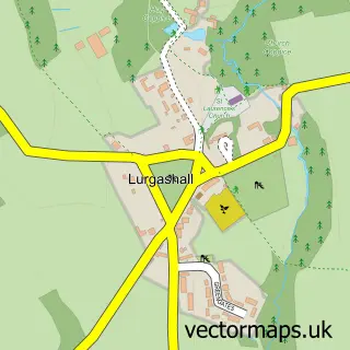
The 750-metre map sample for Petworth covers 237 mapped buildings and approximately 11.8 km of road detail, of which 27 named roads are named. The immediate area includes 1 GP surgery, 2 pubs and 1 MOT station within 2 miles. The wider area around Petworth features 4 tourism points of interest and 4 food and drink venues. To create a larger or custom map of Petworth, the map builder lets you define your own coverage area and download editable SVG, PDF and PNG files.
Create a larger editable map of Petworth
Choose any area you need and generate a high-quality vector map instantly. Perfect for print, planning, design, business and personal use.

This Petworth street map in West Sussex is available as downloadable SVG, PDF and PNG map files, or as a printed map for planning, business, display, education, local information and design work. You can also create a larger custom map area using the map selector.
What this Petworth map sample shows
Petworth lies within Petworth Cp parish, part of Petworth ward in the Chichester District local authority area. The postcode geography for this area includes the GU postcode area, the GU28 postcode district and the GU28 0 postcode sector. Residents fall under the Nhs Sussex Integrated Care Board for NHS services.
Local features near Petworth
Within 2 milesAmenities and services in and around Petworth.
Administrative and postcode information for Petworth
Petworth lies within Petworth Cp parish, part of Petworth ward in the Chichester District local authority area. The postcode geography for this area includes the GU postcode area, the GU28 postcode district and the GU28 0 postcode sector. Residents fall under the Nhs Sussex Integrated Care Board for NHS services.
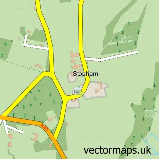
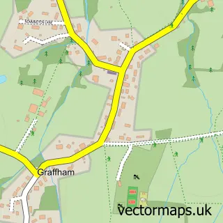
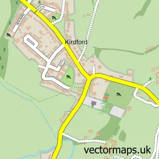
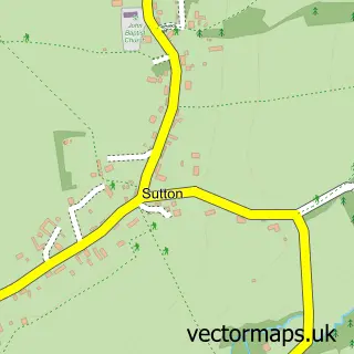
Nearby street map samples around Petworth

More street maps in West Sussex
750 metre map area coverage
Boundary, postcode and point of interest information for the 750m x 750m rectangle centred on this sample map.
Boundaries containing map centre
Constituency: Arundel and South Downs Co Const
County: West Sussex County
District: Chichester District
Icb: NHS Surrey and Sussex ICB
Parish: Petworth CP
Police Force: sussex
Postcode District: GU28
Postcode Sector: GU28 0
Ward: Petworth Ward
Nearby boundaries intersecting sample
No additional intersecting boundaries found.
Postcode coverage
POI category counts
Antique Store: 28
Flowers And Gifts Shop: 7
Art Gallery: 6
Real Estate Agent: 5
Beauty And Spa: 4
Building Supply Store: 4
Furniture Store: 4
Gym: 4
Womens Clothing Store: 4
Business Management Services: 3
Sample points of interest
- Primal Personal Training
- East Head LLP
- St Mary's Church, Petworth
- The Parish Church of St Mary the Virgin, Petworth
- Alexis Antiques
- Annette Puttnam Antiques
- Anthony Short Antiques
- Antique and Vintage Garden Statuary
- Bear Petworth
- Chequers Antiques
- Chequers Antiques
- Cleall Antiques
Create a larger editable map of Petworth
This sample shows only a 750 metre area. To create a larger map of Petworth, use our map builder to choose your own coverage area, add titles and download editable SVG, PDF and PNG files.
Create a custom map of Petworth