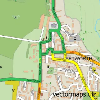
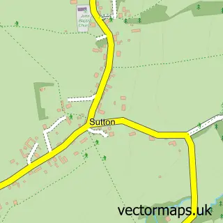
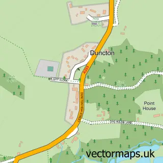
This Fittleworth street map is a detailed vector street map covering a 750m x 750m area. Select a larger area to create and download your own vector street map of Fittleworth.
The 750-metre map sample for Fittleworth covers 236 mapped buildings and approximately 10.2 km of road detail, of which 14 named roads are named. The immediate area includes 1 school and 1 MOT station within 2 miles. The wider area around Fittleworth features 2 tourism points of interest. To create a larger or custom map of Fittleworth, the map builder lets you define your own coverage area and download editable SVG, PDF and PNG files.
Create a larger editable map of Fittleworth
Choose any area you need and generate a high-quality vector map instantly. Perfect for print, planning, design, business and personal use.

This Fittleworth street map in West Sussex is available as downloadable SVG, PDF and PNG map files, or as a printed map for planning, business, display, education, local information and design work. You can also create a larger custom map area using the map selector.
What this Fittleworth map sample shows
Fittleworth lies within Fittleworth Cp parish, part of Fittleworth ward in the Chichester District local authority area. The postcode geography for this area includes the RH postcode area, the RH20 postcode district and the RH20 1 postcode sector. Residents fall under the Nhs Sussex Integrated Care Board for NHS services.
Local features near Fittleworth
Within 2 milesAmenities and services in and around Fittleworth.
Administrative and postcode information for Fittleworth
Fittleworth lies within Fittleworth Cp parish, part of Fittleworth ward in the Chichester District local authority area. The postcode geography for this area includes the RH postcode area, the RH20 postcode district and the RH20 1 postcode sector. Residents fall under the Nhs Sussex Integrated Care Board for NHS services.
Nearby street map samples around Fittleworth

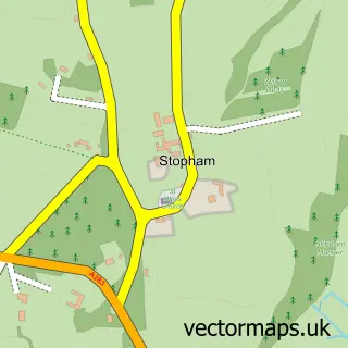
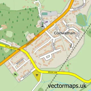
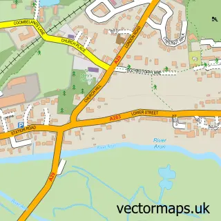
More street maps in West Sussex
750 metre map area coverage
Boundary, postcode and point of interest information for the 750m x 750m rectangle centred on this sample map.
Boundaries containing map centre
Constituency: Arundel and South Downs Co Const
County: West Sussex County
District: Chichester District
Icb: NHS Surrey and Sussex ICB
Parish: Fittleworth CP
Police Force: sussex
Postcode District: RH20
Postcode Sector: RH20 1
Ward: Fittleworth Ward
Nearby boundaries intersecting sample
No additional intersecting boundaries found.
Postcode coverage
POI category counts
Park: 2
Scout Hall: 2
Shipping Center: 2
Anglican Church: 1
Antique Store: 1
Automotive Repair: 1
Building Supply Store: 1
Church Cathedral: 1
Community Center: 1
Contractor: 1
Sample points of interest
- St Mary
- Vagabond Antiques
- Leisure-Tech | Mobile Caravan, Motorhome & Leisure Vehicle Repair and Maintenance | South Coast
- Tsarine Limited
- Saint Mary the Virgin Fittleworth, Church Ln, Fittleworth
- Fittleworth Village Hall
- J.C. Allfrey & Co
- Fittleworth Stores
- Maddison Ltd.
- Fitzleroi Wedding Barn
- Handmade at The Ramble
- PTC Sussex
Create a larger editable map of Fittleworth
This sample shows only a 750 metre area. To create a larger map of Fittleworth, use our map builder to choose your own coverage area, add titles and download editable SVG, PDF and PNG files.
Create a custom map of Fittleworth