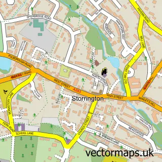
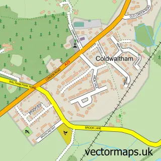
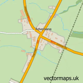
This Pulborough street map is a detailed vector street map covering a 750m x 750m area. Select a larger area to create and download your own vector street map of Pulborough.
The 750-metre map sample for Pulborough covers 210 mapped buildings and approximately 11.1 km of road detail, of which 19 named roads are named. The immediate area includes 1 GP surgery within 2 miles, 1 pub and 2 MOT stations, with 5 within 2 miles. The wider area around Pulborough features 1 tourism point of interest, 2 food and drink venues and 1 hotel. To create a larger or custom map of Pulborough, the map builder lets you define your own coverage area and download editable SVG, PDF and PNG files.
Create a larger editable map of Pulborough
Choose any area you need and generate a high-quality vector map instantly. Perfect for print, planning, design, business and personal use.

This Pulborough street map in West Sussex is available as downloadable SVG, PDF and PNG map files, or as a printed map for planning, business, display, education, local information and design work. You can also create a larger custom map area using the map selector.
What this Pulborough map sample shows
Pulborough lies within Pulborough Cp parish, part of Pulborough, Coldwaltham & Amberley ward in the Horsham District local authority area. The postcode geography for this area includes the RH postcode area, the RH20 postcode district and the RH20 1 postcode sector. Residents fall under the Nhs Sussex Integrated Care Board for NHS services.
Local features near Pulborough
Within 2 milesAmenities and services in and around Pulborough.
Administrative and postcode information for Pulborough
The local authority covering Pulborough is Horsham District, within the county of West Sussex. The settlement lies within Pulborough, Coldwaltham & Amberley ward and Pulborough Cp civil parish. The RH20 postcode district and RH20 1 postcode sector serve the immediate area. NHS provision in the area is delivered through University Hospitals Sussex Nhs Foundation Trust.
Nearby street map samples around Pulborough

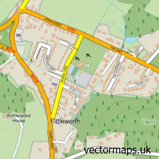
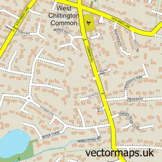
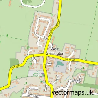
More street maps in West Sussex
750 metre map area coverage
Boundary, postcode and point of interest information for the 750m x 750m rectangle centred on this sample map.
Boundaries containing map centre
Constituency: Arundel and South Downs Co Const
County: West Sussex County
District: Horsham District
Icb: NHS Surrey and Sussex ICB
Parish: Pulborough CP
Police Force: sussex
Postcode District: RH20
Postcode Sector: RH20 2
Ward: Pulborough, Coldwaltham & Amberley Ward
Nearby boundaries intersecting sample
Parish: Coldwaltham CP
Postcode Sector: RH20 1
Postcode coverage
POI category counts
Convenience Store: 5
Automotive Services And Repair: 3
Accommodation: 2
Automotive Repair: 2
Chinese Restaurant: 2
Church Cathedral: 2
Pet Groomer: 2
Pet Services: 2
Police Department: 2
Printing Services: 2
Sample points of interest
- Belgrave Court
- Pulborough Village
- Southern Yacht Charter
- Energy Design Solutions
- Riverside Osteopathy
- Team Virtus
- Quantum Racing Services
- The Alloy Refurb Company
- Elite Garages
- LMC Auto Services
- Sussex PC Works
- Paul Andrews
Create a larger editable map of Pulborough
This sample shows only a 750 metre area. To create a larger map of Pulborough, use our map builder to choose your own coverage area, add titles and download editable SVG, PDF and PNG files.
Create a custom map of Pulborough