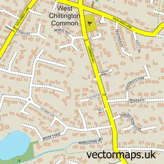
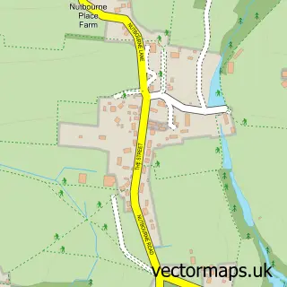
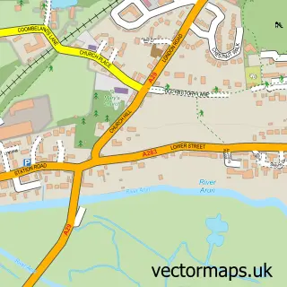
This Storrington street map is a detailed vector street map covering a 750m x 750m area. Select a larger area to create and download your own vector street map of Storrington.
The 750-metre map sample for Storrington covers 414 mapped buildings and approximately 16.3 km of road detail, of which 44 named roads are named. The immediate area includes 1 school, 1 GP surgery, 4 pubs and 5 MOT stations within 2 miles. The wider area around Storrington features 5 tourism points of interest, 14 food and drink venues and 2 hotels. To create a larger or custom map of Storrington, the map builder lets you define your own coverage area and download editable SVG, PDF and PNG files.
Create a larger editable map of Storrington
Choose any area you need and generate a high-quality vector map instantly. Perfect for print, planning, design, business and personal use.

This Storrington street map in West Sussex is available as downloadable SVG, PDF and PNG map files, or as a printed map for planning, business, display, education, local information and design work. You can also create a larger custom map area using the map selector.
What this Storrington map sample shows
Storrington lies within Storrington And Sullington Cp parish, part of Storrington & Washington ward in the Horsham District local authority area. The postcode geography for this area includes the RH postcode area, the RH20 postcode district and the RH20 4 postcode sector. Residents fall under the Nhs Sussex Integrated Care Board for NHS services.
Local features near Storrington
Within 2 milesAmenities and services in and around Storrington.
Administrative and postcode information for Storrington
Storrington lies within Storrington And Sullington Cp parish, part of Storrington & Washington ward in the Horsham District local authority area. The postcode geography for this area includes the RH postcode area, the RH20 postcode district and the RH20 4 postcode sector. Residents fall under the Nhs Sussex Integrated Care Board for NHS services.
Nearby street map samples around Storrington

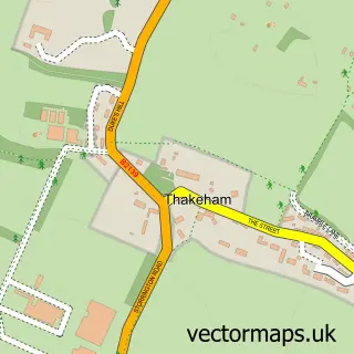
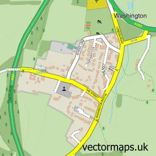
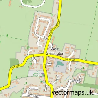
More street maps in West Sussex
750 metre map area coverage
Boundary, postcode and point of interest information for the 750m x 750m rectangle centred on this sample map.
Boundaries containing map centre
Constituency: Arundel and South Downs Co Const
County: West Sussex County
District: Horsham District
Icb: NHS Surrey and Sussex ICB
Parish: Storrington and Sullington CP
Police Force: sussex
Postcode District: RH20
Postcode Sector: RH20 4
Ward: Storrington & Washington Ward
Nearby boundaries intersecting sample
No additional intersecting boundaries found.
Postcode coverage
POI category counts
Real Estate Agent: 13
Hair Salon: 8
Coffee Shop: 6
Flowers And Gifts Shop: 6
Professional Services: 6
Convenience Store: 5
Indian Restaurant: 5
Barber: 4
Beauty Salon: 4
Charity Organization: 4
Sample points of interest
- Impulse Leisure - Chanctonbury
- 7am Creative
- Matt Anderson Creative Design
- St Mary's Church
- St Mary's, Storrington
- Stable Antiques
- King & Chasemore
- Carters Domestic Appliances Storrington
- Folkes Architects
- Nifty Gallery
- The Sussex Yarn Collection
- Golden Willow
Create a larger editable map of Storrington
This sample shows only a 750 metre area. To create a larger map of Storrington, use our map builder to choose your own coverage area, add titles and download editable SVG, PDF and PNG files.
Create a custom map of Storrington