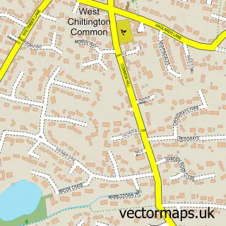
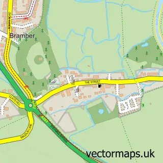
This Washington street map is a detailed vector street map covering a 750m x 750m area. Select a larger area to create and download your own vector street map of Washington.
The 750-metre map sample for Washington covers 132 mapped buildings and approximately 10.7 km of road detail, of which 9 named roads are named. The immediate area includes 1 school, 1 pub and 3 MOT stations within 2 miles. The wider area around Washington features 2 food and drink venues and 1 campsite within 2 miles. To create a larger or custom map of Washington, the map builder lets you define your own coverage area and download editable SVG, PDF and PNG files.
Create a larger editable map of Washington
Choose any area you need and generate a high-quality vector map instantly. Perfect for print, planning, design, business and personal use.

This Washington street map in West Sussex is available as downloadable SVG, PDF and PNG map files, or as a printed map for planning, business, display, education, local information and design work. You can also create a larger custom map area using the map selector.
What this Washington map sample shows
Washington lies within Washington Cp parish, part of Storrington & Washington ward in the Horsham District local authority area. The postcode geography for this area includes the RH postcode area, the RH20 postcode district and the RH20 4 postcode sector. Residents fall under the Nhs Sussex Integrated Care Board for NHS services.
Local features near Washington
Within 2 milesAmenities and services in and around Washington.
Administrative and postcode information for Washington
Washington lies within Washington Cp parish, part of Storrington & Washington ward in the Horsham District local authority area. The postcode geography for this area includes the RH postcode area, the RH20 postcode district and the RH20 4 postcode sector. Residents fall under the Nhs Sussex Integrated Care Board for NHS services.
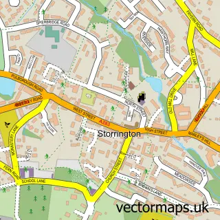
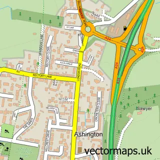
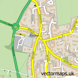
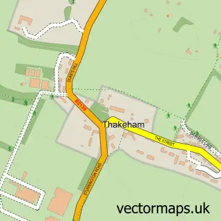
Nearby street map samples around Washington

More street maps in West Sussex
750 metre map area coverage
Boundary, postcode and point of interest information for the 750m x 750m rectangle centred on this sample map.
Boundaries containing map centre
Constituency: Arundel and South Downs Co Const
County: West Sussex County
District: Horsham District
Icb: NHS Surrey and Sussex ICB
Parish: Washington CP
Police Force: sussex
Postcode District: RH20
Postcode Sector: RH20 4
Ward: Storrington & Washington Ward
Nearby boundaries intersecting sample
No additional intersecting boundaries found.
Postcode coverage
POI category counts
Accountant: 1
Anglican Church: 1
Auto Company: 1
Bathroom Remodeling: 1
Bed And Breakfast: 1
Church Cathedral: 1
Community Center: 1
Dog Trainer: 1
Elementary School: 1
Graphic Designer: 1
Sample points of interest
- Abacus Cole Accounting Services
- Washington Church
- Quick Car Cash
- Jones Bathrooms
- Holt House
- St Mary's Church
- Washington Village Memorial Hall
- Findon Downs Dog Training Club
- St Mary's CofE Primary School
- DED Design
- Appledown UK
- Church Barn Group
Create a larger editable map of Washington
This sample shows only a 750 metre area. To create a larger map of Washington, use our map builder to choose your own coverage area, add titles and download editable SVG, PDF and PNG files.
Create a custom map of Washington