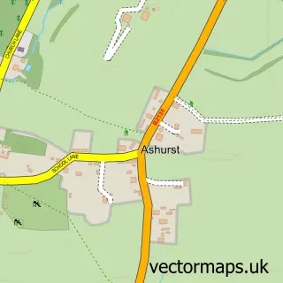
This Ashington street map is a detailed vector street map covering a 750m x 750m area. Select a larger area to create and download your own vector street map of Ashington.
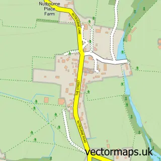
The 750-metre map sample for Ashington covers 327 mapped buildings and approximately 15.3 km of road detail, of which 23 named roads are named. The immediate area includes 1 MOT station, with 3 within 2 miles. The wider area around Ashington features 4 food and drink venues. To create a larger or custom map of Ashington, the map builder lets you define your own coverage area and download editable SVG, PDF and PNG files.
Create a larger editable map of Ashington
Choose any area you need and generate a high-quality vector map instantly. Perfect for print, planning, design, business and personal use.

This Ashington street map in West Sussex is available as downloadable SVG, PDF and PNG map files, or as a printed map for planning, business, display, education, local information and design work. You can also create a larger custom map area using the map selector.
What this Ashington map sample shows
Ashington lies within Ashington Cp parish, part of West Chiltington, Thakeham & Ashington ward in the Horsham District local authority area. The postcode geography for this area includes the RH postcode area, the RH20 postcode district and the RH20 3 postcode sector. Residents fall under the Nhs Sussex Integrated Care Board for NHS services.
Local features near Ashington
Within 2 milesAmenities and services in and around Ashington.
Administrative and postcode information for Ashington
Ashington lies within Ashington Cp parish, part of West Chiltington, Thakeham & Ashington ward in the Horsham District local authority area. The postcode geography for this area includes the RH postcode area, the RH20 postcode district and the RH20 3 postcode sector. Residents fall under the Nhs Sussex Integrated Care Board for NHS services.
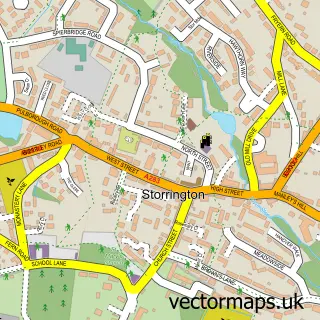
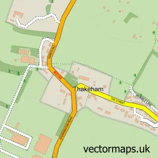
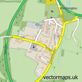
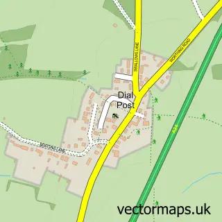
Nearby street map samples around Ashington

More street maps in West Sussex
750 metre map area coverage
Boundary, postcode and point of interest information for the 750m x 750m rectangle centred on this sample map.
Boundaries containing map centre
Constituency: Arundel and South Downs Co Const
County: West Sussex County
District: Horsham District
Icb: NHS Surrey and Sussex ICB
Parish: Ashington CP
Police Force: sussex
Postcode District: RH20
Postcode Sector: RH20 3
Ward: West Chiltington, Thakeham & Ashington Ward
Nearby boundaries intersecting sample
No additional intersecting boundaries found.
Postcode coverage
POI category counts
Cafe: 3
Gas Station: 2
Indian Restaurant: 2
Atms: 1
Beauty Product Supplier: 1
Beauty Salon: 1
Bicycle Shop: 1
Coffee Shop: 1
Construction Services: 1
Convenience Store: 1
Sample points of interest
- The Cooperative Food (BF) Post Office Ashington (ERF), Ashington
- JMD Hair Studio
- Cherubs Beauty Spa
- The Bicycle Exchange
- Wild Bean Cafe
- Wild Bean Café
- Wild Bean Café
- The Refreshment Pod
- Naxco Services
- Co-op
- Post Office Travel Money
- Cherubs Beauty Salon
Create a larger editable map of Ashington
This sample shows only a 750 metre area. To create a larger map of Ashington, use our map builder to choose your own coverage area, add titles and download editable SVG, PDF and PNG files.
Create a custom map of Ashington