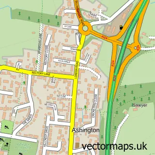
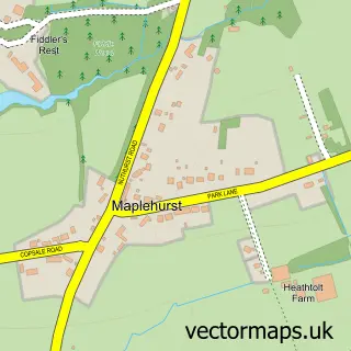
This Dial Post street map is a detailed vector street map covering a 750m x 750m area. Select a larger area to create and download your own vector street map of Dial Post.
The 750-metre map sample for Dial Post covers 96 mapped buildings and approximately 11.7 km of road detail, of which 4 named roads are named. The immediate area includes 1 pub. The wider area around Dial Post features 1 food and drink venue and 1 campsite within 2 miles. To create a larger or custom map of Dial Post, the map builder lets you define your own coverage area and download editable SVG, PDF and PNG files.
Create a larger editable map of Dial Post
Choose any area you need and generate a high-quality vector map instantly. Perfect for print, planning, design, business and personal use.

This Dial Post street map in West Sussex is available as downloadable SVG, PDF and PNG map files, or as a printed map for planning, business, display, education, local information and design work. You can also create a larger custom map area using the map selector.
What this Dial Post map sample shows
Dial Post lies within West Grinstead Cp parish, part of Cowfold, Shermanbury & West Grinstead ward in the Horsham District local authority area. The postcode geography for this area includes the RH postcode area, the RH13 postcode district and the RH13 8 postcode sector. Residents fall under the Nhs Sussex Integrated Care Board for NHS services.
Local features near Dial Post
Within 2 milesAmenities and services in and around Dial Post.
Administrative and postcode information for Dial Post
The local authority covering Dial Post is Horsham District, within the county of West Sussex. The settlement lies within Cowfold, Shermanbury & West Grinstead ward and West Grinstead Cp civil parish. The RH13 postcode district and RH13 8 postcode sector serve the immediate area. NHS provision in the area is delivered through University Hospitals Sussex Nhs Foundation Trust.
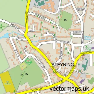
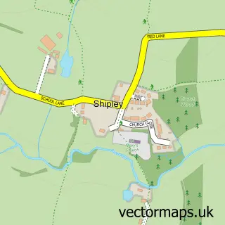
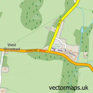
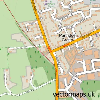
Nearby street map samples around Dial Post

More street maps in West Sussex
750 metre map area coverage
Boundary, postcode and point of interest information for the 750m x 750m rectangle centred on this sample map.
Boundaries containing map centre
Constituency: Horsham Co Const
County: West Sussex County
District: Horsham District
Icb: NHS Surrey and Sussex ICB
Parish: West Grinstead CP
Police Force: sussex
Postcode District: RH13
Postcode Sector: RH13 8
Ward: Cowfold, Shermanbury & West Grinstead Ward
Nearby boundaries intersecting sample
No additional intersecting boundaries found.
Postcode coverage
POI category counts
Advertising Agency: 2
Antique Store: 1
Community Center: 1
Community Services Non Profits: 1
Furniture Manufacturers: 1
Furniture Store: 1
Garbage Collection Service: 1
Hot Tubs And Pools: 1
Insurance Agency: 1
Landscaping: 1
Sample points of interest
- K G Designs
- Staging House
- Thakeham Furniture Antiques
- Dial Post Village Hall
- Dial Post Village
- EARTHY® TIMBER - Luxury Wooden Furniture
- Office Outlet
- A&L Scrap Metal
- Malvern Hot Tubs & Spas
- Insurance Republic
- Oaklands landscapes
- The Crown Inn
Create a larger editable map of Dial Post
This sample shows only a 750 metre area. To create a larger map of Dial Post, use our map builder to choose your own coverage area, add titles and download editable SVG, PDF and PNG files.
Create a custom map of Dial Post