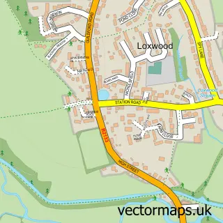
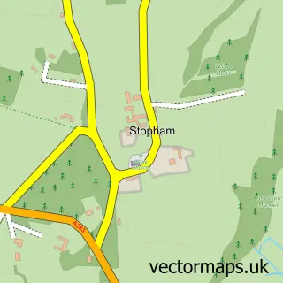
This Wisborough Green street map is a detailed vector street map covering a 750m x 750m area. Select a larger area to create and download your own vector street map of Wisborough Green.
The 750-metre map sample for Wisborough Green covers 244 mapped buildings and approximately 11.4 km of road detail, of which 14 named roads are named. The immediate area includes 1 school, 3 pubs and 1 MOT station within 2 miles. The wider area around Wisborough Green features 1 tourism point of interest, 4 food and drink venues and 1 hotel. To create a larger or custom map of Wisborough Green, the map builder lets you define your own coverage area and download editable SVG, PDF and PNG files.
Create a larger editable map of Wisborough Green
Choose any area you need and generate a high-quality vector map instantly. Perfect for print, planning, design, business and personal use.

This Wisborough Green street map in West Sussex is available as downloadable SVG, PDF and PNG map files, or as a printed map for planning, business, display, education, local information and design work. You can also create a larger custom map area using the map selector.
What this Wisborough Green map sample shows
Wisborough Green lies within Wisborough Green Cp parish, part of Loxwood ward in the Chichester District local authority area. The postcode geography for this area includes the RH postcode area, the RH14 postcode district and the RH14 0 postcode sector. Residents fall under the Nhs Sussex Integrated Care Board for NHS services.
Local features near Wisborough Green
Within 2 milesAmenities and services in and around Wisborough Green.
Administrative and postcode information for Wisborough Green
The local authority covering Wisborough Green is Chichester District, within the county of West Sussex. The settlement lies within Loxwood ward and Wisborough Green Cp civil parish. The RH14 postcode district and RH14 0 postcode sector serve the immediate area. NHS provision in the area is delivered through Royal Surrey County Hospital Nhs Foundation Trust.
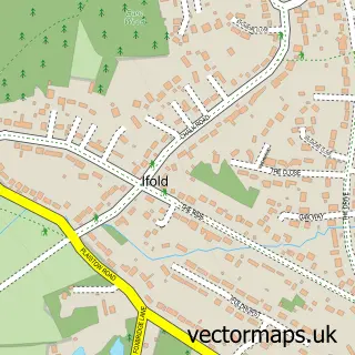
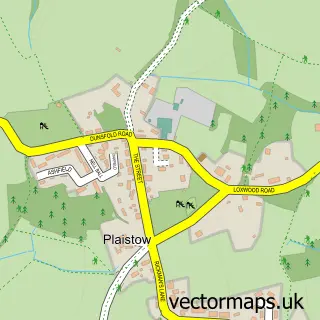
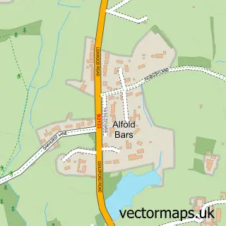
Nearby street map samples around Wisborough Green

More street maps in West Sussex
750 metre map area coverage
Boundary, postcode and point of interest information for the 750m x 750m rectangle centred on this sample map.
Boundaries containing map centre
Constituency: Arundel and South Downs Co Const
County: West Sussex County
District: Chichester District
Icb: NHS Surrey and Sussex ICB
Parish: Wisborough Green CP
Police Force: sussex
Postcode District: RH14
Postcode Sector: RH14 0
Ward: Loxwood Ward
Nearby boundaries intersecting sample
No additional intersecting boundaries found.
Postcode coverage
POI category counts
Professional Services: 3
Pub: 3
Elementary School: 2
Post Office: 2
Shopping: 2
Accountant: 1
Anglican Church: 1
Automotive Repair: 1
Bar: 1
Church Cathedral: 1
Sample points of interest
- Tulip Accounting
- St Peter's
- James E Pearce
- The Pavillion
- St Peter ad Vincula
- Old Mill Cafe
- Wisborough Green Stores
- Wisborough Green Primary School
- Wisborough Green Primary School
- The Spitfire Experience
- Raven and Ryegrass floral design
- Twelvetrees
Create a larger editable map of Wisborough Green
This sample shows only a 750 metre area. To create a larger map of Wisborough Green, use our map builder to choose your own coverage area, add titles and download editable SVG, PDF and PNG files.
Create a custom map of Wisborough Green