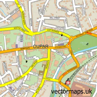
This Cupar Muir street map is a detailed vector street map covering a 750m x 750m area. Select a larger area to create and download your own vector street map of Cupar Muir.
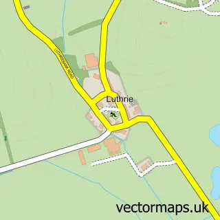
The 750-metre map sample for Cupar Muir covers 45 mapped buildings and approximately 7.6 km of road detail, of which 7 named roads are named. The immediate area includes 2 GP surgeries within 2 miles and 4 MOT stations within 2 miles. To create a larger or custom map of Cupar Muir, the map builder lets you define your own coverage area and download editable SVG, PDF and PNG files.
Create a larger editable map of Cupar Muir
Choose any area you need and generate a high-quality vector map instantly. Perfect for print, planning, design, business and personal use.

This Cupar Muir street map in Fife is available as downloadable SVG, PDF and PNG map files, or as a printed map for planning, business, display, education, local information and design work. You can also create a larger custom map area using the map selector.
What this Cupar Muir map sample shows
Cupar Muir lies within Fife parish, part of Cupar ward in the Fife local authority area. The postcode geography for this area includes the KY postcode area, the KY15 postcode district and the KY15 5 postcode sector. Residents fall under the Fife for NHS services.
Local features near Cupar Muir
Within 2 milesAmenities and services in and around Cupar Muir.
Administrative and postcode information for Cupar Muir
Cupar Muir lies within Fife parish, part of Cupar ward in the Fife local authority area. The postcode geography for this area includes the KY postcode area, the KY15 postcode district and the KY15 5 postcode sector. Residents fall under the Fife for NHS services.
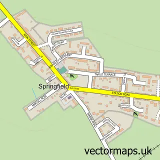
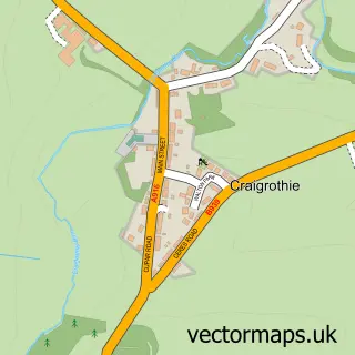
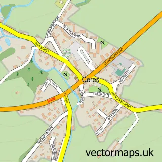
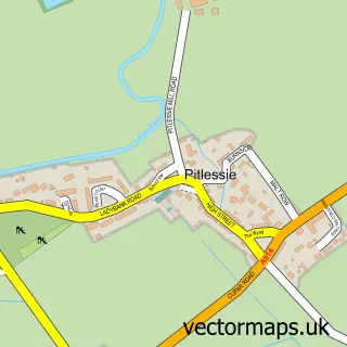
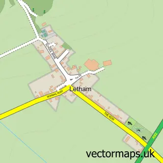
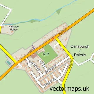
Nearby street map samples around Cupar Muir

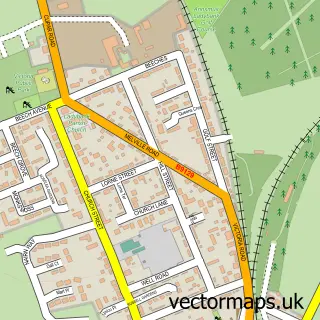
More street maps in Fife
750 metre map area coverage
Boundary, postcode and point of interest information for the 750m x 750m rectangle centred on this sample map.
Boundaries containing map centre
Constituency: North East Fife Co Const
District: Fife
Icb: Fife
Postcode District: KY15
Postcode Sector: KY15 5
Ward: Cupar Ward
Nearby boundaries intersecting sample
No additional intersecting boundaries found.
Postcode coverage
POI category counts
Engineering Services: 2
Industrial Equipment: 2
Sports Club And League: 2
Farm: 1
Food Safety Training: 1
Historical Tours: 1
Motorcycle Repair: 1
Travel Agents: 1
Sample points of interest
- Contract Solutions
- Related Fluid Power Ltd
- The Little Herb Farm
- Sarah Gray's
- Tailabout Tours
- Law & Hamilton Plant and Equipment
- Sellar Agricultural
- Bike Paints
- AM Soccer Club
- Amsportstours
- Am Sports Tours
Create a larger editable map of Cupar Muir
This sample shows only a 750 metre area. To create a larger map of Cupar Muir, use our map builder to choose your own coverage area, add titles and download editable SVG, PDF and PNG files.
Create a custom map of Cupar Muir