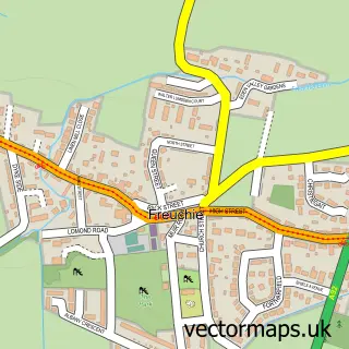
This Pitlessie street map is a detailed vector street map covering a 750m x 750m area. Select a larger area to create and download your own vector street map of Pitlessie.
The 750-metre map sample for Pitlessie covers 67 mapped buildings and approximately 8.8 km of road detail, of which 11 named roads are named. The immediate area includes 1 GP surgery within 2 miles and 2 MOT stations within 2 miles. The wider area around Pitlessie features 1 tourism point of interest and 1 campsite within 2 miles. To create a larger or custom map of Pitlessie, the map builder lets you define your own coverage area and download editable SVG, PDF and PNG files.
Create a larger editable map of Pitlessie
Choose any area you need and generate a high-quality vector map instantly. Perfect for print, planning, design, business and personal use.

This Pitlessie street map in Fife is available as downloadable SVG, PDF and PNG map files, or as a printed map for planning, business, display, education, local information and design work. You can also create a larger custom map area using the map selector.
What this Pitlessie map sample shows
Pitlessie lies within Fife parish, part of Cupar ward in the Fife local authority area. The postcode geography for this area includes the KY postcode area, the KY15 postcode district and the KY15 7 postcode sector. Residents fall under the Fife for NHS services.
Local features near Pitlessie
Within 2 milesAmenities and services in and around Pitlessie.
Administrative and postcode information for Pitlessie
The local authority covering Pitlessie is Fife, within the county of Fife. The settlement lies within Cupar ward and Fife civil parish. The KY15 postcode district and KY15 7 postcode sector serve the immediate area. NHS provision in the area is delivered through Fife.
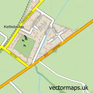
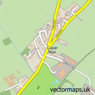
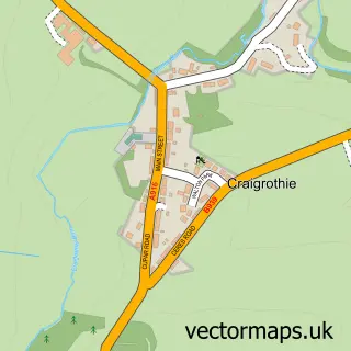
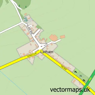
Nearby street map samples around Pitlessie
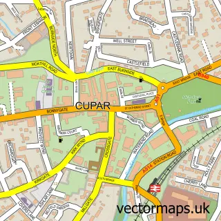

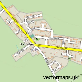
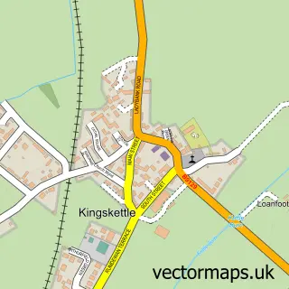
More street maps in Fife
750 metre map area coverage
Boundary, postcode and point of interest information for the 750m x 750m rectangle centred on this sample map.
Boundaries containing map centre
Constituency: North East Fife Co Const
District: Fife
Icb: Fife
Postcode District: KY15
Postcode Sector: KY15 7
Ward: Cupar Ward
Nearby boundaries intersecting sample
Ward: Howe of Fife and Tay Coast Ward
Postcode coverage
POI category counts
Appliance Manufacturer: 1
Contractor: 1
Dance Club: 1
Home Service: 1
Inn: 1
Landmark And Historical Building: 1
Limo Services: 1
Textile Mill: 1
Sample points of interest
- Chris Gough Door Consulting
- Create and Convert Ltd
- Haud Yer Wheesht Silent Disco
- Donna Boyd-Thorpe Registered Childminder
- Pitlessie Village Inn and Pantry
- Friends of Cults Kirk
- Park Executive Chauffeurs
- B Spoke Joinery Ltd.
Create a larger editable map of Pitlessie
This sample shows only a 750 metre area. To create a larger map of Pitlessie, use our map builder to choose your own coverage area, add titles and download editable SVG, PDF and PNG files.
Create a custom map of Pitlessie