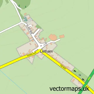
This Springfield street map is a detailed vector street map covering a 750m x 750m area. Select a larger area to create and download your own vector street map of Springfield.
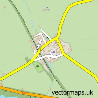
The 750-metre map sample for Springfield covers 92 mapped buildings and approximately 7.1 km of road detail, of which 15 named roads are named. The wider area around Springfield features 1 campsite within 2 miles. To create a larger or custom map of Springfield, the map builder lets you define your own coverage area and download editable SVG, PDF and PNG files.
Create a larger editable map of Springfield
Choose any area you need and generate a high-quality vector map instantly. Perfect for print, planning, design, business and personal use.

This Springfield street map in Fife is available as downloadable SVG, PDF and PNG map files, or as a printed map for planning, business, display, education, local information and design work. You can also create a larger custom map area using the map selector.
What this Springfield map sample shows
Springfield lies within Fife parish, part of Cupar ward in the Fife local authority area. The postcode geography for this area includes the KY postcode area, the KY15 postcode district and the KY15 5 postcode sector. Residents fall under the Fife for NHS services.
Local features near Springfield
Within 2 milesAmenities and services in and around Springfield.
Administrative and postcode information for Springfield
Springfield lies within Fife parish, part of Cupar ward in the Fife local authority area. The postcode geography for this area includes the KY postcode area, the KY15 postcode district and the KY15 5 postcode sector. Residents fall under the Fife for NHS services.
Nearby street map samples around Springfield
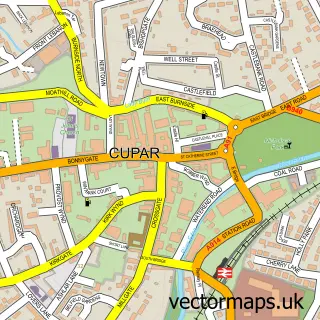

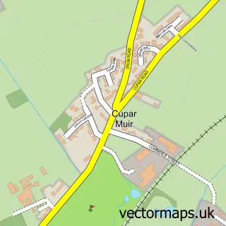
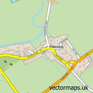
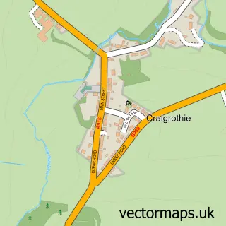
More street maps in Fife
750 metre map area coverage
Boundary, postcode and point of interest information for the 750m x 750m rectangle centred on this sample map.
Boundaries containing map centre
Constituency: North East Fife Co Const
District: Fife
Icb: Fife
Postcode District: KY15
Postcode Sector: KY15 5
Ward: Cupar Ward
Nearby boundaries intersecting sample
No additional intersecting boundaries found.
Postcode coverage
POI category counts
Roofing: 2
Bar: 1
Beauty Salon: 1
Boxing Class: 1
Catholic Church: 1
Convenience Store: 1
Elementary School: 1
Gun And Ammo: 1
Plumbing: 1
Post Office: 1
Sample points of interest
- Springfield Tavern
- Hairycoo's Beauty Boutique
- Quinns Boxing Club
- Ceres, Kemback & Springfield
- Springfield Store
- Springfield Primary School
- Springfield Gun Repairs
- Kenneth Soutar Plumbing & Heating
- Springfield Post Office
- D. Russell
- I-Fix Roofing
- Post Office-Springfield
Create a larger editable map of Springfield
This sample shows only a 750 metre area. To create a larger map of Springfield, use our map builder to choose your own coverage area, add titles and download editable SVG, PDF and PNG files.
Create a custom map of Springfield