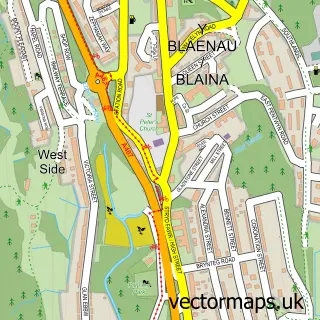
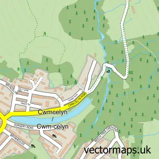
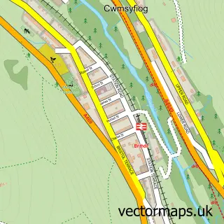
This Cwm street map is a detailed vector street map covering a 750m x 750m area. Select a larger area to create and download your own vector street map of Cwm.
The 750-metre map sample for Cwm covers 276 mapped buildings and approximately 50.0 km of road detail, of which 27 named roads are named. The immediate area includes 1 school, 1 pub and 6 MOT stations within 2 miles. The wider area around Cwm features 1 food and drink venue. To create a larger or custom map of Cwm, the map builder lets you define your own coverage area and download editable SVG, PDF and PNG files.
Create a larger editable map of Cwm
Choose any area you need and generate a high-quality vector map instantly. Perfect for print, planning, design, business and personal use.

This Cwm street map in Gwent is available as downloadable SVG, PDF and PNG map files, or as a printed map for planning, business, display, education, local information and design work. You can also create a larger custom map area using the map selector.
What this Cwm map sample shows
Cwm lies within Cwm Community parish, part of Cwm ward in the Blaenau Gwent - Blaenau Gwent local authority area. The postcode geography for this area includes the NP postcode area, the NP23 postcode district and the NP23 7 postcode sector. Residents fall under the Aneurin Bevan University Health Board for NHS services.
Local features near Cwm
Within 2 milesAmenities and services in and around Cwm.
Administrative and postcode information for Cwm
The local authority covering Cwm is Blaenau Gwent - Blaenau Gwent, within the county of Gwent. The settlement lies within Cwm ward and Cwm Community civil parish. The NP23 postcode district and NP23 7 postcode sector serve the immediate area. NHS provision in the area is delivered through Aneurin Bevan University Health Board.
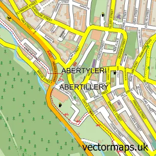
Nearby street map samples around Cwm

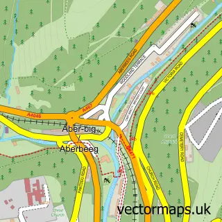
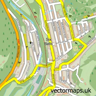
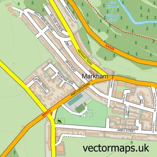
More street maps in Gwent
750 metre map area coverage
Boundary, postcode and point of interest information for the 750m x 750m rectangle centred on this sample map.
Boundaries containing map centre
Constituency: Blaenau Gwent and Rhymney Co Const
District: Blaenau Gwent - Blaenau Gwent
Icb: Aneurin Bevan University
Parish: Cwm Community
Police Force: gwent
Postcode District: NP23
Postcode Sector: NP23 7
Nearby boundaries intersecting sample
No additional intersecting boundaries found.
Postcode coverage
POI category counts
Social Service Organizations: 4
Charity Organization: 3
Professional Services: 3
Ev Charging Station: 2
Arts And Entertainment: 1
Bakery: 1
Baptist Church: 1
Caterer: 1
Chimney Sweep: 1
Church Cathedral: 1
Sample points of interest
- Just Review It
- B Cake Studio
- Tirzah Baptist Church
- JJs Deli and Catering
- Ebbw Vale District Development Trust
- The Bee Initiative
- The Salvation Army Cwm
- AJW Chimney Sweep
- Cwm Spiritual Church
- Cwm Community Education Centre
- The Legion
- Premier
Create a larger editable map of Cwm
This sample shows only a 750 metre area. To create a larger map of Cwm, use our map builder to choose your own coverage area, add titles and download editable SVG, PDF and PNG files.
Create a custom map of Cwm