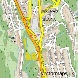
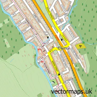
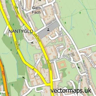
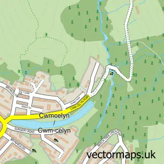
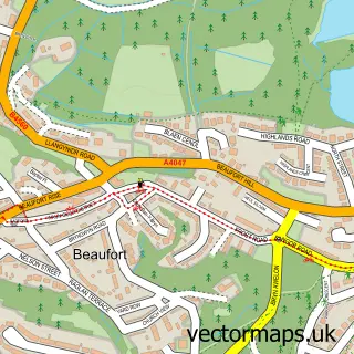
This Waun-lwyd street map is a detailed vector street map covering a 750m x 750m area. Select a larger area to create and download your own vector street map of Waun-lwyd.
The 750-metre map sample for Waun-lwyd covers 184 mapped buildings and approximately 52.1 km of road detail, of which 21 named roads are named. The immediate area includes 1 railway station and 4 MOT stations within 2 miles. The wider area around Waun-lwyd features 2 hotels. To create a larger or custom map of Waun-lwyd, the map builder lets you define your own coverage area and download editable SVG, PDF and PNG files.
Create a larger editable map of Waun-lwyd
Choose any area you need and generate a high-quality vector map instantly. Perfect for print, planning, design, business and personal use.

This Waun-lwyd street map in Gwent is available as downloadable SVG, PDF and PNG map files, or as a printed map for planning, business, display, education, local information and design work. You can also create a larger custom map area using the map selector.
What this Waun-lwyd map sample shows
Waun-lwyd lies within Cwm Community parish, part of Cwm ward in the Blaenau Gwent - Blaenau Gwent local authority area. The postcode geography for this area includes the NP postcode area, the NP23 postcode district and the NP23 6 postcode sector. Residents fall under the Aneurin Bevan University Health Board for NHS services.
Local features near Waun-lwyd
Within 2 milesAmenities and services in and around Waun-lwyd.
Administrative and postcode information for Waun-lwyd
The local authority covering Waun-lwyd is Blaenau Gwent - Blaenau Gwent, within the county of Gwent. The settlement lies within Cwm ward and Cwm Community civil parish. The NP23 postcode district and NP23 6 postcode sector serve the immediate area. NHS provision in the area is delivered through Aneurin Bevan University Health Board.
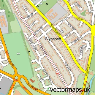
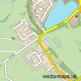
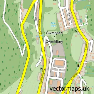
Nearby street map samples around Waun-lwyd

More street maps in Gwent
750 metre map area coverage
Boundary, postcode and point of interest information for the 750m x 750m rectangle centred on this sample map.
Boundaries containing map centre
Constituency: Blaenau Gwent and Rhymney Co Const
District: Blaenau Gwent - Blaenau Gwent
Icb: Aneurin Bevan University
Parish: Cwm Community
Police Force: gwent
Postcode District: NP23
Postcode Sector: NP23 6
Nearby boundaries intersecting sample
Parish: Ebbw Vale South Community
Postcode Sector: NP23 8
Postcode coverage
POI category counts
Convenience Store: 2
Hotel: 2
Bar: 1
Beauty Salon: 1
Builders: 1
Building Contractor: 1
Contractor: 1
Discount Store: 1
Driving School: 1
Energy Company: 1
Sample points of interest
- Brewsters
- Be Beautiful Professional Beauty Care
- Top Mark Construction Ltd.
- Richard Window Cleaning
- Edgemor Ceilings and Partitions
- Premier Vals General Store
- Val's General Store
- Poundland
- Paul Morgan
- Connected Kerb Charging Station
- The Posh Plaice
- Ty Glyn Ebwy | Elysium Healthcare
Create a larger editable map of Waun-lwyd
This sample shows only a 750 metre area. To create a larger map of Waun-lwyd, use our map builder to choose your own coverage area, add titles and download editable SVG, PDF and PNG files.
Create a custom map of Waun-lwyd