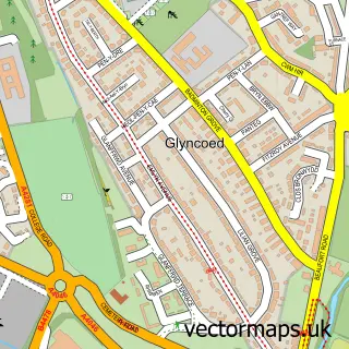
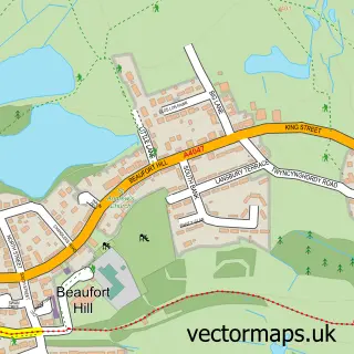
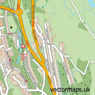
This Ebbw Vale street map is a detailed vector street map covering a 750m x 750m area. Select a larger area to create and download your own vector street map of Ebbw Vale.
The 750-metre map sample for Ebbw Vale covers 373 mapped buildings and approximately 88.4 km of road detail, of which 46 named roads are named. The immediate area includes 2 schools, 6 pubs and 14 MOT stations within 2 miles. The wider area around Ebbw Vale features 1 tourism point of interest and 18 food and drink venues. To create a larger or custom map of Ebbw Vale, the map builder lets you define your own coverage area and download editable SVG, PDF and PNG files.
Create a larger editable map of Ebbw Vale
Choose any area you need and generate a high-quality vector map instantly. Perfect for print, planning, design, business and personal use.

This Ebbw Vale street map in Gwent is available as downloadable SVG, PDF and PNG map files, or as a printed map for planning, business, display, education, local information and design work. You can also create a larger custom map area using the map selector.
What this Ebbw Vale map sample shows
Ebbw Vale lies within Ebbw Vale South Community parish, part of Ebbw Vale South ward in the Blaenau Gwent - Blaenau Gwent local authority area. The postcode geography for this area includes the NP postcode area, the NP23 postcode district and the NP23 5 postcode sector. Residents fall under the Aneurin Bevan University Health Board for NHS services.
Local features near Ebbw Vale
Within 2 milesAmenities and services in and around Ebbw Vale.
Administrative and postcode information for Ebbw Vale
Ebbw Vale lies within Ebbw Vale South Community parish, part of Ebbw Vale South ward in the Blaenau Gwent - Blaenau Gwent local authority area. The postcode geography for this area includes the NP postcode area, the NP23 postcode district and the NP23 5 postcode sector. Residents fall under the Aneurin Bevan University Health Board for NHS services.
Nearby street map samples around Ebbw Vale

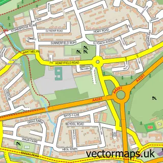
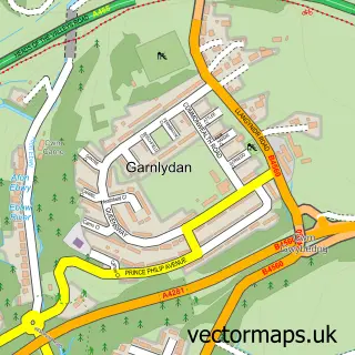
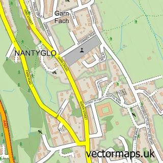
More street maps in Gwent
750 metre map area coverage
Boundary, postcode and point of interest information for the 750m x 750m rectangle centred on this sample map.
Boundaries containing map centre
Constituency: Blaenau Gwent and Rhymney Co Const
District: Blaenau Gwent - Blaenau Gwent
Icb: Aneurin Bevan University
Parish: Ebbw Vale North Community
Police Force: gwent
Postcode District: NP23
Postcode Sector: NP23 6
Nearby boundaries intersecting sample
Parish: Ebbw Vale South Community
Postcode Sector: NP23 5
Postcode coverage
POI category counts
Restaurant: 7
Beauty Salon: 6
Mobile Phone Store: 6
Pub: 6
Beauty And Spa: 5
Clothing Store: 5
Convenience Store: 5
Gift Shop: 5
Hair Salon: 5
Pharmacy: 5
Sample points of interest
- BW Ebbw Vale
- Garry White and Company
- Holistic Answers
- The Retreat
- Ebbw Vale Steelers MJRFC
- Cancer Appeal Tenovus
- Kings Aquatics
- Cashpoint® 25 Market Street
- Audiology Associates Ltd
- MAL Recovery & Auto Repairs
- Greggs
- Jagoda Bakery
Create a larger editable map of Ebbw Vale
This sample shows only a 750 metre area. To create a larger map of Ebbw Vale, use our map builder to choose your own coverage area, add titles and download editable SVG, PDF and PNG files.
Create a custom map of Ebbw Vale