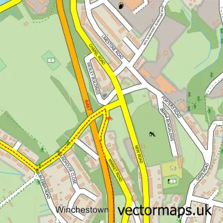
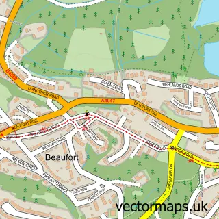
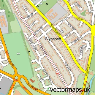
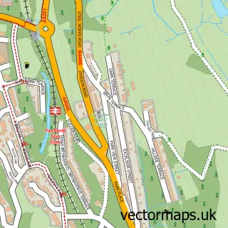
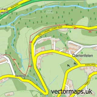
This Garn Fach street map is a detailed vector street map covering a 750m x 750m area. Select a larger area to create and download your own vector street map of Garn Fach.
The 750-metre map sample for Garn Fach covers 305 mapped buildings and approximately 61.3 km of road detail, of which 25 named roads are named. The immediate area includes 6 MOT stations within 2 miles. The wider area around Garn Fach features 1 tourism point of interest. To create a larger or custom map of Garn Fach, the map builder lets you define your own coverage area and download editable SVG, PDF and PNG files.
Create a larger editable map of Garn Fach
Choose any area you need and generate a high-quality vector map instantly. Perfect for print, planning, design, business and personal use.

This Garn Fach street map in Gwent is available as downloadable SVG, PDF and PNG map files, or as a printed map for planning, business, display, education, local information and design work. You can also create a larger custom map area using the map selector.
What this Garn Fach map sample shows
Garn Fach lies within Nantyglo And Blaina Community parish, part of Nantyglo ward in the Blaenau Gwent - Blaenau Gwent local authority area. The postcode geography for this area includes the NP postcode area, the NP23 postcode district and the NP23 4 postcode sector. Residents fall under the Aneurin Bevan University Health Board for NHS services.
Local features near Garn Fach
Within 2 milesAmenities and services in and around Garn Fach.
Administrative and postcode information for Garn Fach
The local authority covering Garn Fach is Blaenau Gwent - Blaenau Gwent, within the county of Gwent. The settlement lies within Nantyglo ward and Nantyglo And Blaina Community civil parish. The NP23 postcode district and NP23 4 postcode sector serve the immediate area. NHS provision in the area is delivered through Aneurin Bevan University Health Board.
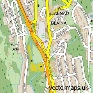
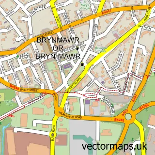
Nearby street map samples around Garn Fach

More street maps in Gwent
750 metre map area coverage
Boundary, postcode and point of interest information for the 750m x 750m rectangle centred on this sample map.
Boundaries containing map centre
Constituency: Blaenau Gwent and Rhymney Co Const
District: Blaenau Gwent - Blaenau Gwent
Icb: Aneurin Bevan University
Parish: Nantyglo and Blaina Community
Police Force: gwent
Postcode District: NP23
Postcode Sector: NP23 4
Nearby boundaries intersecting sample
No additional intersecting boundaries found.
Postcode coverage
POI category counts
Convenience Store: 4
Bar: 2
Korean Grocery Store: 2
Employment Agencies: 1
Hospital: 1
Landmark And Historical Building: 1
Parking: 1
Taxi Service: 1
Wildlife Sanctuary: 1
Sample points of interest
- Ffosemaen Inn
- The Golden Lion
- Nantyglo Stores
- Premier
- Premier Nantyglo Stores
- S & S Stores
- Nicola's Freelance Typing Service
- Blaina & District Hospital
- Nantyglo Post Office
- Post Office-Nantyglo
- Nantyglo
- 42 Garn Cross Parking
Create a larger editable map of Garn Fach
This sample shows only a 750 metre area. To create a larger map of Garn Fach, use our map builder to choose your own coverage area, add titles and download editable SVG, PDF and PNG files.
Create a custom map of Garn Fach