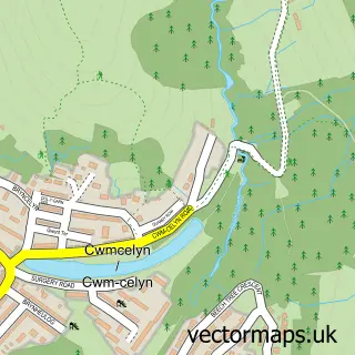
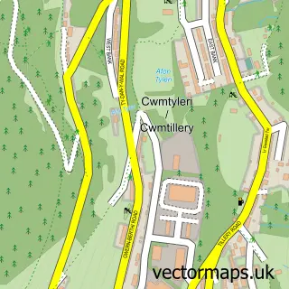
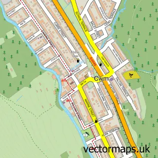
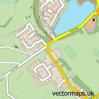
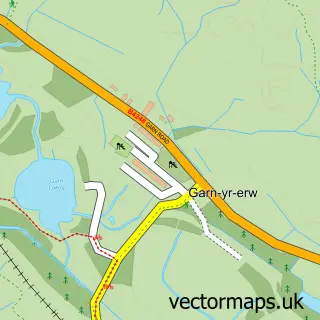
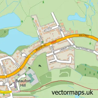
This Blaina street map is a detailed vector street map covering a 750m x 750m area. Select a larger area to create and download your own vector street map of Blaina.
The 750-metre map sample for Blaina covers 262 mapped buildings and approximately 69.0 km of road detail, of which 32 named roads are named. The immediate area includes 4 pubs and 4 MOT stations within 2 miles. The wider area around Blaina features 2 tourism points of interest and 5 food and drink venues. To create a larger or custom map of Blaina, the map builder lets you define your own coverage area and download editable SVG, PDF and PNG files.
Create a larger editable map of Blaina
Choose any area you need and generate a high-quality vector map instantly. Perfect for print, planning, design, business and personal use.

This Blaina street map in Gwent is available as downloadable SVG, PDF and PNG map files, or as a printed map for planning, business, display, education, local information and design work. You can also create a larger custom map area using the map selector.
What this Blaina map sample shows
Blaina lies within Nantyglo And Blaina Community parish, part of Blaina ward in the Blaenau Gwent - Blaenau Gwent local authority area. The postcode geography for this area includes the NP postcode area, the NP13 postcode district and the NP13 3 postcode sector. Residents fall under the Aneurin Bevan University Health Board for NHS services.
Local features near Blaina
Within 2 milesAmenities and services in and around Blaina.
Administrative and postcode information for Blaina
Blaina lies within Nantyglo And Blaina Community parish, part of Blaina ward in the Blaenau Gwent - Blaenau Gwent local authority area. The postcode geography for this area includes the NP postcode area, the NP13 postcode district and the NP13 3 postcode sector. Residents fall under the Aneurin Bevan University Health Board for NHS services.
Nearby street map samples around Blaina

More street maps in Gwent
750 metre map area coverage
Boundary, postcode and point of interest information for the 750m x 750m rectangle centred on this sample map.
Boundaries containing map centre
Constituency: Blaenau Gwent and Rhymney Co Const
District: Blaenau Gwent - Blaenau Gwent
Icb: Aneurin Bevan University
Parish: Nantyglo and Blaina Community
Police Force: gwent
Postcode District: NP13
Postcode Sector: NP13 3
Nearby boundaries intersecting sample
No additional intersecting boundaries found.
Postcode coverage
POI category counts
Convenience Store: 4
Pub: 4
Bar: 3
Community Services Non Profits: 3
Professional Services: 3
Gas Station: 2
Hair Salon: 2
Korean Grocery Store: 2
Social Service Organizations: 2
Sports Club And League: 2
Sample points of interest
- The Cooperative Food (BF) Blaina (ERF), Blaina
- Bush Inn
- Goodfellas
- The Bush Inn
- Sammy Js
- Mother Natures Goodies
- Ladbrokes
- Treasured Photography
- Alpha Diy Heating and Plumbing Merchant Limited
- Cafe Lazeez
- The Heart of the Valleys Integrated Children's Centre
- Town and Country Sweep - chimney sweep
Create a larger editable map of Blaina
This sample shows only a 750 metre area. To create a larger map of Blaina, use our map builder to choose your own coverage area, add titles and download editable SVG, PDF and PNG files.
Create a custom map of Blaina