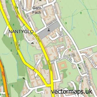
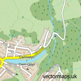
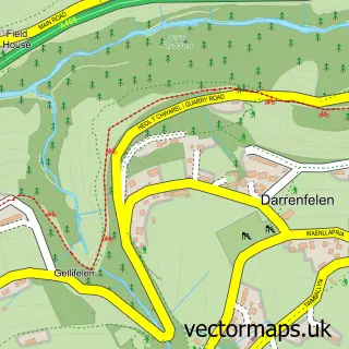
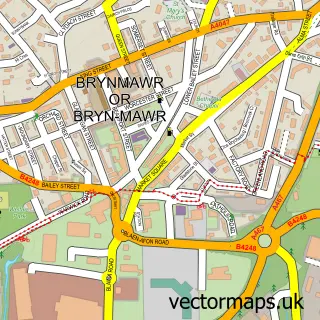
This Nantyglo street map is a detailed vector street map covering a 750m x 750m area. Select a larger area to create and download your own vector street map of Nantyglo.
The 750-metre map sample for Nantyglo covers 224 mapped buildings and approximately 55.2 km of road detail, of which 16 named roads are named. The immediate area includes 6 MOT stations within 2 miles. To create a larger or custom map of Nantyglo, the map builder lets you define your own coverage area and download editable SVG, PDF and PNG files.
Create a larger editable map of Nantyglo
Choose any area you need and generate a high-quality vector map instantly. Perfect for print, planning, design, business and personal use.

This Nantyglo street map in Gwent is available as downloadable SVG, PDF and PNG map files, or as a printed map for planning, business, display, education, local information and design work. You can also create a larger custom map area using the map selector.
What this Nantyglo map sample shows
Nantyglo lies within Nantyglo And Blaina Community parish, part of Nantyglo ward in the Blaenau Gwent - Blaenau Gwent local authority area. The postcode geography for this area includes the NP postcode area, the NP23 postcode district and the NP23 4 postcode sector. Residents fall under the Aneurin Bevan University Health Board for NHS services.
Local features near Nantyglo
Within 2 milesAmenities and services in and around Nantyglo.
Administrative and postcode information for Nantyglo
Nantyglo lies within Nantyglo And Blaina Community parish, part of Nantyglo ward in the Blaenau Gwent - Blaenau Gwent local authority area. The postcode geography for this area includes the NP postcode area, the NP23 postcode district and the NP23 4 postcode sector. Residents fall under the Aneurin Bevan University Health Board for NHS services.
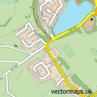
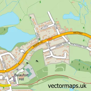
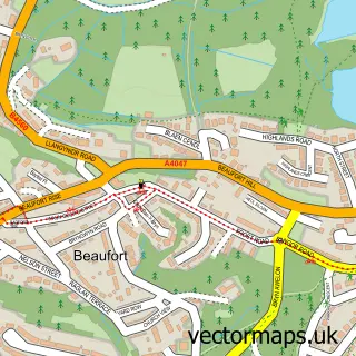
Nearby street map samples around Nantyglo

More street maps in Gwent
750 metre map area coverage
Boundary, postcode and point of interest information for the 750m x 750m rectangle centred on this sample map.
Boundaries containing map centre
Constituency: Blaenau Gwent and Rhymney Co Const
District: Blaenau Gwent - Blaenau Gwent
Icb: Aneurin Bevan University
Parish: Nantyglo and Blaina Community
Police Force: gwent
Postcode District: NP23
Postcode Sector: NP23 4
Nearby boundaries intersecting sample
No additional intersecting boundaries found.
Postcode coverage
POI category counts
Professional Services: 3
Appliance Manufacturer: 1
Broadcasting Media Production: 1
Building Supply Store: 1
Ceiling Service: 1
Commercial Industrial: 1
Electrician: 1
Fabric Store: 1
Fireplace Service: 1
Monument: 1
Sample points of interest
- Agorfa Leisure
- BGfm Community Radio
- Dragon Roofing & Cladding Limited
- Dragon Roofing & Cladding
- Barleyfield Industrial Estate
- Powerlink Electrical Services
- Roberto Group
- Monmouthshire Fires Flues & Stoves
- Roundhouse Towers
- The Pet Sitter
- Cable Printers
- Blaenau Gwent Borough Council
Create a larger editable map of Nantyglo
This sample shows only a 750 metre area. To create a larger map of Nantyglo, use our map builder to choose your own coverage area, add titles and download editable SVG, PDF and PNG files.
Create a custom map of Nantyglo