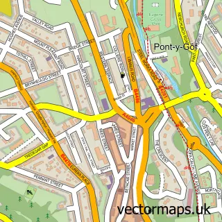
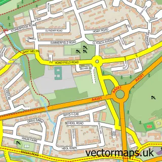
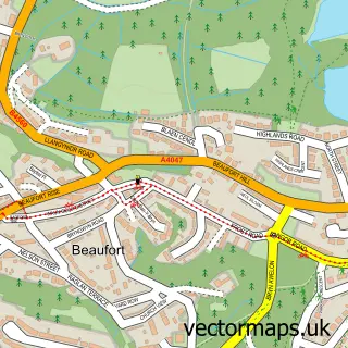
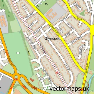
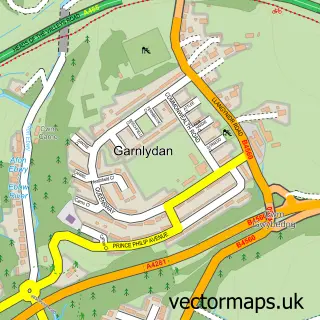
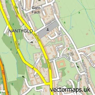
This Carmeltown street map is a detailed vector street map covering a 750m x 750m area. Select a larger area to create and download your own vector street map of Carmeltown.
The 750-metre map sample for Carmeltown covers 319 mapped buildings and approximately 60.7 km of road detail, of which 32 named roads are named. The immediate area includes 4 pubs and 11 MOT stations within 2 miles. The wider area around Carmeltown features 5 food and drink venues. To create a larger or custom map of Carmeltown, the map builder lets you define your own coverage area and download editable SVG, PDF and PNG files.
Create a larger editable map of Carmeltown
Choose any area you need and generate a high-quality vector map instantly. Perfect for print, planning, design, business and personal use.

This Carmeltown street map in Gwent is available as downloadable SVG, PDF and PNG map files, or as a printed map for planning, business, display, education, local information and design work. You can also create a larger custom map area using the map selector.
What this Carmeltown map sample shows
Carmeltown lies within Rassau Community parish, part of Rassau ward in the Blaenau Gwent - Blaenau Gwent local authority area. The postcode geography for this area includes the NP postcode area, the NP23 postcode district and the NP23 5 postcode sector. Residents fall under the Aneurin Bevan University Health Board for NHS services.
Local features near Carmeltown
Within 2 milesAmenities and services in and around Carmeltown.
Administrative and postcode information for Carmeltown
Carmeltown lies within Rassau Community parish, part of Rassau ward in the Blaenau Gwent - Blaenau Gwent local authority area. The postcode geography for this area includes the NP postcode area, the NP23 postcode district and the NP23 5 postcode sector. Residents fall under the Aneurin Bevan University Health Board for NHS services.
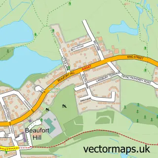
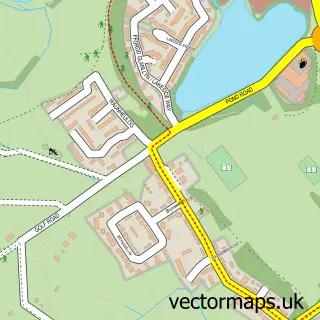
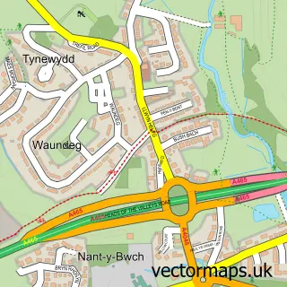
Nearby street map samples around Carmeltown

More street maps in Gwent
750 metre map area coverage
Boundary, postcode and point of interest information for the 750m x 750m rectangle centred on this sample map.
Boundaries containing map centre
Constituency: Blaenau Gwent and Rhymney Co Const
District: Blaenau Gwent - Blaenau Gwent
Icb: Aneurin Bevan University
Parish: Rassau Community
Police Force: gwent
Postcode District: NP23
Postcode Sector: NP23 5
Nearby boundaries intersecting sample
Parish: Badminton Community, Beaufort Community
Postcode Sector: NP23 6
Postcode coverage
POI category counts
Pub: 4
Automotive Repair: 2
Car Dealer: 2
Contractor: 2
Convenience Store: 2
Day Care Preschool: 2
Discount Store: 2
Electronics: 2
Fish And Chips Restaurant: 2
Assisted Living Facility: 1
Sample points of interest
- Sonael Care Home
- PP Motors Ltd
- Cambrian Garage
- Carno Car Sales
- Nigel Sullivan Groundwork
- Carno Garage
- Riverside Automotives
- Rising sun car wash
- St Davids Church
- Rassau Resource Community Centre
- Ace Kitchen and Bathrooms
- Newman Builders
Create a larger editable map of Carmeltown
This sample shows only a 750 metre area. To create a larger map of Carmeltown, use our map builder to choose your own coverage area, add titles and download editable SVG, PDF and PNG files.
Create a custom map of Carmeltown