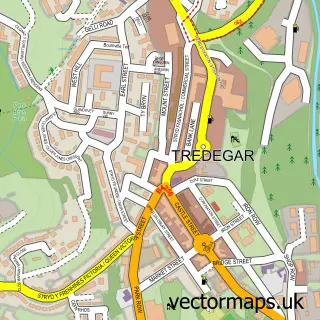
This Nant-y-Bwch street map is a detailed vector street map covering a 750m x 750m area. Select a larger area to create and download your own vector street map of Nant-y-Bwch.
The 750-metre map sample for Nant-y-Bwch covers 306 mapped buildings and approximately 67.8 km of road detail, of which 13 named roads are named. The immediate area includes 2 pubs and 7 MOT stations within 2 miles. The wider area around Nant-y-Bwch features 2 food and drink venues. To create a larger or custom map of Nant-y-Bwch, the map builder lets you define your own coverage area and download editable SVG, PDF and PNG files.
Create a larger editable map of Nant-y-Bwch
Choose any area you need and generate a high-quality vector map instantly. Perfect for print, planning, design, business and personal use.

This Nant-y-Bwch street map in Gwent is available as downloadable SVG, PDF and PNG map files, or as a printed map for planning, business, display, education, local information and design work. You can also create a larger custom map area using the map selector.
What this Nant-y-Bwch map sample shows
Nant-y-Bwch lies within Tredegar Community parish, part of Sirhowy ward in the Blaenau Gwent - Blaenau Gwent local authority area. The postcode geography for this area includes the NP postcode area, the NP22 postcode district and the NP22 3 postcode sector. Residents fall under the Aneurin Bevan University Health Board for NHS services.
Local features near Nant-y-Bwch
Within 2 milesAmenities and services in and around Nant-y-Bwch.
Administrative and postcode information for Nant-y-Bwch
Nant-y-Bwch lies within Tredegar Community parish, part of Sirhowy ward in the Blaenau Gwent - Blaenau Gwent local authority area. The postcode geography for this area includes the NP postcode area, the NP22 postcode district and the NP22 3 postcode sector. Residents fall under the Aneurin Bevan University Health Board for NHS services.
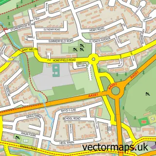
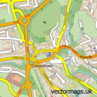
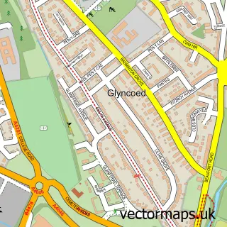
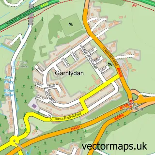
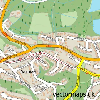
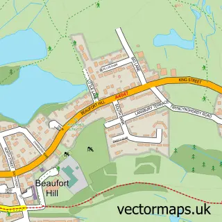
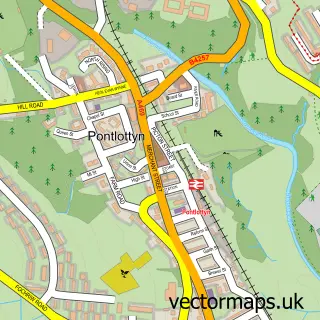
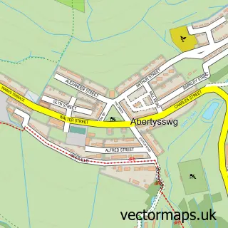
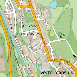
Nearby street map samples around Nant-y-Bwch

More street maps in Gwent
750 metre map area coverage
Boundary, postcode and point of interest information for the 750m x 750m rectangle centred on this sample map.
Boundaries containing map centre
Constituency: Blaenau Gwent and Rhymney Co Const
District: Blaenau Gwent - Blaenau Gwent
Icb: Aneurin Bevan University
Parish: Tredegar Community
Police Force: gwent
Postcode District: NP22
Postcode Sector: NP22 3
Nearby boundaries intersecting sample
Postcode Sector: NP22 4
Postcode coverage
POI category counts
Gas Station: 3
Laundry Services: 2
Pub: 2
Automotive: 1
Bar: 1
Bookstore: 1
Building Supply Store: 1
Childrens Clothing Store: 1
Flowers And Gifts Shop: 1
Laundromat: 1
Sample points of interest
- Europcar Tredegar
- Mochins Tredegar
- Stacy’s story time bookshop
- Nuenergy Solutions
- You and Me In Stitches
- Tracy Jane Florist
- TEXACO Station
- Texaco
- Texaco
- Revolution Laundry Launderette
- Revolution Laundry
- Wash.ME - Mrs Neera Verma
Create a larger editable map of Nant-y-Bwch
This sample shows only a 750 metre area. To create a larger map of Nant-y-Bwch, use our map builder to choose your own coverage area, add titles and download editable SVG, PDF and PNG files.
Create a custom map of Nant-y-Bwch