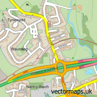
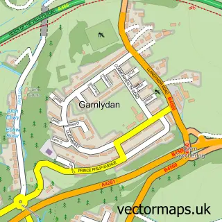
This Tredegar street map is a detailed vector street map covering a 750m x 750m area. Select a larger area to create and download your own vector street map of Tredegar.
The 750-metre map sample for Tredegar covers 298 mapped buildings and approximately 54.7 km of road detail, of which 37 named roads are named. The immediate area includes 4 pubs and 1 MOT station, with 9 within 2 miles. The wider area around Tredegar features 3 tourism points of interest, 14 food and drink venues and 3 hotels. To create a larger or custom map of Tredegar, the map builder lets you define your own coverage area and download editable SVG, PDF and PNG files.
Create a larger editable map of Tredegar
Choose any area you need and generate a high-quality vector map instantly. Perfect for print, planning, design, business and personal use.

This Tredegar street map in Gwent is available as downloadable SVG, PDF and PNG map files, or as a printed map for planning, business, display, education, local information and design work. You can also create a larger custom map area using the map selector.
What this Tredegar map sample shows
Tredegar lies within Tredegar Community parish, part of Tredegar Central And West ward in the Blaenau Gwent - Blaenau Gwent local authority area. The postcode geography for this area includes the NP postcode area, the NP22 postcode district and the NP22 3 postcode sector. Residents fall under the Aneurin Bevan University Health Board for NHS services.
Local features near Tredegar
Within 2 milesAmenities and services in and around Tredegar.
Administrative and postcode information for Tredegar
The local authority covering Tredegar is Blaenau Gwent - Blaenau Gwent, within the county of Gwent. The settlement lies within Tredegar Central And West ward and Tredegar Community civil parish. The NP22 postcode district and NP22 3 postcode sector serve the immediate area. NHS provision in the area is delivered through Aneurin Bevan University Health Board.
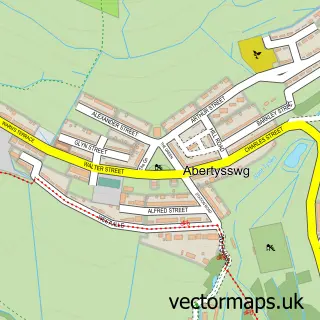
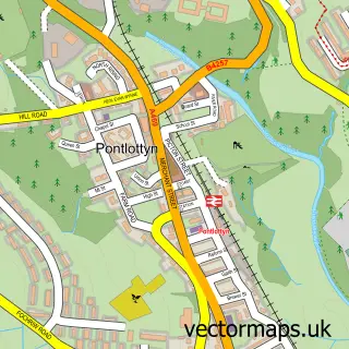
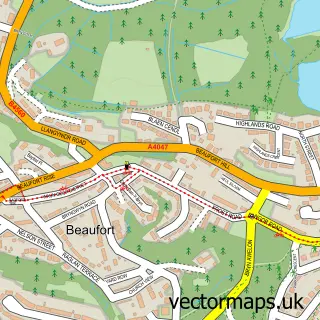
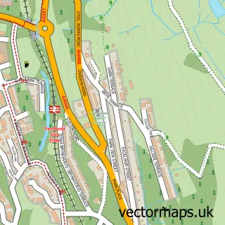
Nearby street map samples around Tredegar

More street maps in Gwent
750 metre map area coverage
Boundary, postcode and point of interest information for the 750m x 750m rectangle centred on this sample map.
Boundaries containing map centre
Constituency: Blaenau Gwent and Rhymney Co Const
District: Blaenau Gwent - Blaenau Gwent
Icb: Aneurin Bevan University
Parish: Tredegar Community
Police Force: gwent
Postcode District: NP22
Postcode Sector: NP22 3
Nearby boundaries intersecting sample
Postcode Sector: NP22 4
Postcode coverage
POI category counts
Beauty Salon: 8
Hair Salon: 6
Tattoo And Piercing: 6
Barber: 5
Cafe: 4
Chinese Restaurant: 4
Coffee Shop: 4
Convenience Store: 4
Dentist: 4
Discount Store: 4
Sample points of interest
- Abbey Veterinary Centres
- Abbey Veterinary Centres
- Lottie Dotty
- Woffington House
- *Deposit & Withdrawal* The Ocean (CZI) (CAUK)
- ATM (Post Office)
- Scotty's Auto Spares & Garage Equipment
- Greggs
- Greggs
- Barclays Bank
- HSBC Bank
- Siloh Baptist Church
Create a larger editable map of Tredegar
This sample shows only a 750 metre area. To create a larger map of Tredegar, use our map builder to choose your own coverage area, add titles and download editable SVG, PDF and PNG files.
Create a custom map of Tredegar