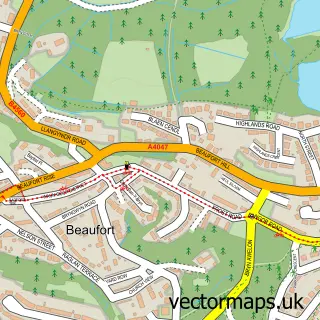
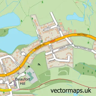
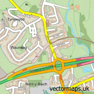
This Glyn-coed street map is a detailed vector street map covering a 750m x 750m area. Select a larger area to create and download your own vector street map of Glyn-coed.
The 750-metre map sample for Glyn-coed covers 531 mapped buildings and approximately 58.0 km of road detail, of which 29 named roads are named. The immediate area includes 1 school, 1 pub and 13 MOT stations within 2 miles. The wider area around Glyn-coed features 2 food and drink venues. To create a larger or custom map of Glyn-coed, the map builder lets you define your own coverage area and download editable SVG, PDF and PNG files.
Create a larger editable map of Glyn-coed
Choose any area you need and generate a high-quality vector map instantly. Perfect for print, planning, design, business and personal use.

This Glyn-coed street map in Gwent is available as downloadable SVG, PDF and PNG map files, or as a printed map for planning, business, display, education, local information and design work. You can also create a larger custom map area using the map selector.
What this Glyn-coed map sample shows
Glyn-coed lies within Beaufort Community parish, part of Beaufort ward in the Blaenau Gwent - Blaenau Gwent local authority area. The postcode geography for this area includes the NP postcode area, the NP23 postcode district and the NP23 5 postcode sector. Residents fall under the Aneurin Bevan University Health Board for NHS services.
Local features near Glyn-coed
Within 2 milesAmenities and services in and around Glyn-coed.
Administrative and postcode information for Glyn-coed
Glyn-coed lies within Beaufort Community parish, part of Beaufort ward in the Blaenau Gwent - Blaenau Gwent local authority area. The postcode geography for this area includes the NP postcode area, the NP23 postcode district and the NP23 5 postcode sector. Residents fall under the Aneurin Bevan University Health Board for NHS services.
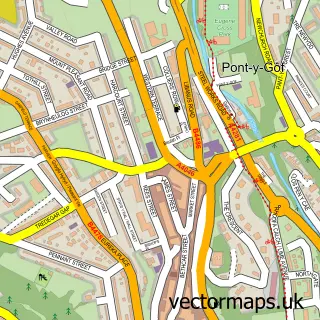
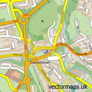
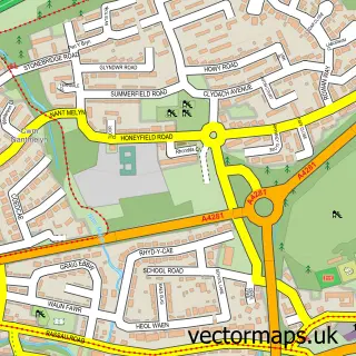
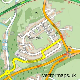
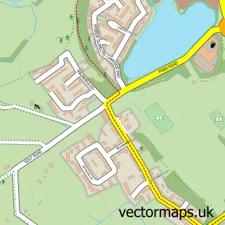
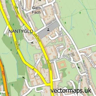
Nearby street map samples around Glyn-coed

More street maps in Gwent
750 metre map area coverage
Boundary, postcode and point of interest information for the 750m x 750m rectangle centred on this sample map.
Boundaries containing map centre
Constituency: Blaenau Gwent and Rhymney Co Const
District: Blaenau Gwent - Blaenau Gwent
Icb: Aneurin Bevan University
Parish: Badminton Community
Police Force: gwent
Postcode District: NP23
Postcode Sector: NP23 5
Nearby boundaries intersecting sample
Parish: Ebbw Vale North Community
Postcode Sector: NP23 6
Postcode coverage
POI category counts
College University: 2
Acupuncture: 1
Atms: 1
Bakery: 1
Beverage Store: 1
Building Supply Store: 1
Cafe: 1
Car Dealer: 1
Contractor: 1
Convenience Store: 1
Sample points of interest
- Salubrious Me Traditional Chinese Medicine Acupuncture
- PayPoint
- Epic Cakes
- Beaufort Sports & Leisure Bar
- Able Electrics
- Morrisons Cafe
- Barry Grist Car Sales
- Coleg Gwent
- Ebbw Vale College
- Yellow Dog Properties
- Premier
- Evri ParcelShop
Create a larger editable map of Glyn-coed
This sample shows only a 750 metre area. To create a larger map of Glyn-coed, use our map builder to choose your own coverage area, add titles and download editable SVG, PDF and PNG files.
Create a custom map of Glyn-coed