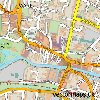
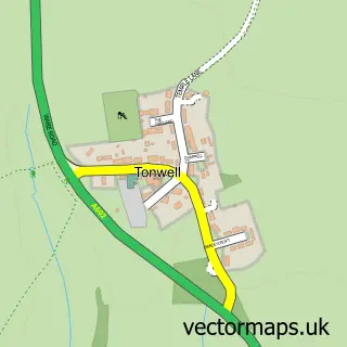
This Dane End street map is a detailed vector street map covering a 750m x 750m area. Select a larger area to create and download your own vector street map of Dane End.
The 750-metre map sample for Dane End covers 162 mapped buildings and approximately 7.0 km of road detail, of which 11 named roads are named. The immediate area includes 1 school and 1 pub. The wider area around Dane End features 1 food and drink venue. To create a larger or custom map of Dane End, the map builder lets you define your own coverage area and download editable SVG, PDF and PNG files.
Create a larger editable map of Dane End
Choose any area you need and generate a high-quality vector map instantly. Perfect for print, planning, design, business and personal use.

This Dane End street map in Hertfordshire is available as downloadable SVG, PDF and PNG map files, or as a printed map for planning, business, display, education, local information and design work. You can also create a larger custom map area using the map selector.
What this Dane End map sample shows
Dane End lies within Little Munden Cp parish, part of Mundens And Cottered ward in the East Hertfordshire District local authority area. The postcode geography for this area includes the SG postcode area, the SG12 postcode district and the SG12 0 postcode sector. Residents fall under the Nhs Hertfordshire And West Essex Integrated Care Board for NHS services.
Local features near Dane End
Within 2 milesAmenities and services in and around Dane End.
Administrative and postcode information for Dane End
Dane End lies within Little Munden Cp parish, part of Mundens And Cottered ward in the East Hertfordshire District local authority area. The postcode geography for this area includes the SG postcode area, the SG12 postcode district and the SG12 0 postcode sector. Residents fall under the Nhs Hertfordshire And West Essex Integrated Care Board for NHS services.
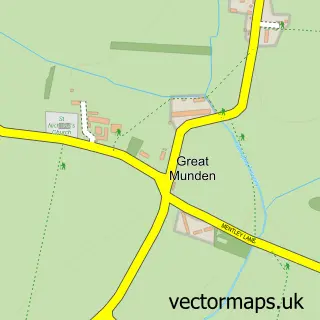
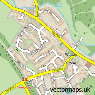
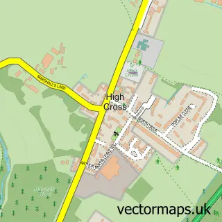
Nearby street map samples around Dane End


More street maps in Hertfordshire
750 metre map area coverage
Boundary, postcode and point of interest information for the 750m x 750m rectangle centred on this sample map.
Boundaries containing map centre
Constituency: North East Hertfordshire Co Const
County: Hertfordshire County
District: East Hertfordshire District
Icb: NHS Central East ICB
Parish: Little Munden CP
Police Force: hertfordshire
Postcode District: SG12
Postcode Sector: SG12 0
Ward: The Mundens Ward
Nearby boundaries intersecting sample
No additional intersecting boundaries found.
Postcode coverage
POI category counts
Elementary School: 2
Pest Control Service: 2
Shipping Center: 2
Carpet Cleaning: 1
Carpet Store: 1
Construction Services: 1
Convenience Store: 1
Event Planning: 1
Farm: 1
Furniture Assembly: 1
Sample points of interest
- Herts Pro Carpet Cleaning
- Ideal Carpets
- Prospect Building & Development
- Dane End Stores
- Little Munden C of E Primary School
- Little Munden Church of England Voluntary Controlled Primary School
- Libby's Market Place
- Dane End Christmas Tree Farm
- Omorfia Home Ltd
- The Cream Room Recording Studio
- The Royal British Legion
- Am-pm Pest Control
Create a larger editable map of Dane End
This sample shows only a 750 metre area. To create a larger map of Dane End, use our map builder to choose your own coverage area, add titles and download editable SVG, PDF and PNG files.
Create a custom map of Dane End