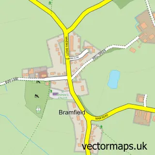
This Watton-at-Stone street map is a detailed vector street map covering a 750m x 750m area. Select a larger area to create and download your own vector street map of Watton-at-Stone.
The 750-metre map sample for Watton-at-Stone covers 317 mapped buildings and approximately 13.3 km of road detail, of which 20 named roads are named. The immediate area includes 1 school, 1 railway station, 1 GP surgery and 2 pubs among other local services. The wider area around Watton-at-Stone features 2 food and drink venues. To create a larger or custom map of Watton-at-Stone, the map builder lets you define your own coverage area and download editable SVG, PDF and PNG files.
Create a larger editable map of Watton-at-Stone
Choose any area you need and generate a high-quality vector map instantly. Perfect for print, planning, design, business and personal use.

This Watton-at-Stone street map in Hertfordshire is available as downloadable SVG, PDF and PNG map files, or as a printed map for planning, business, display, education, local information and design work. You can also create a larger custom map area using the map selector.
What this Watton-at-Stone map sample shows
Watton-at-Stone lies within Watton-At-Stone Cp parish, part of Watton-At-Stone ward in the East Hertfordshire District local authority area. The postcode geography for this area includes the SG postcode area, the SG14 postcode district and the SG14 3 postcode sector. Residents fall under the Nhs Hertfordshire And West Essex Integrated Care Board for NHS services.
Local features near Watton-at-Stone
Within 2 milesAmenities and services in and around Watton-at-Stone.
Administrative and postcode information for Watton-at-Stone
The local authority covering Watton-at-Stone is East Hertfordshire District, within the county of Hertfordshire. The settlement lies within Watton-At-Stone ward and Watton-At-Stone Cp civil parish. The SG14 postcode district and SG14 3 postcode sector serve the immediate area. NHS provision in the area is delivered through East And North Hertfordshire Nhs Trust.
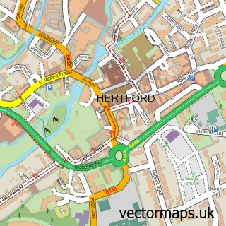
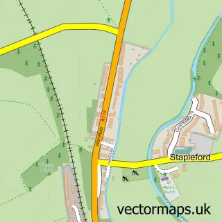
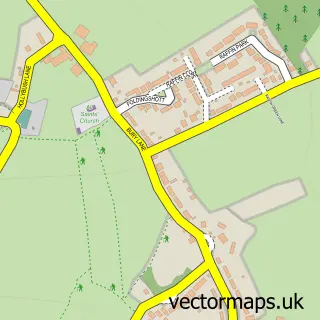
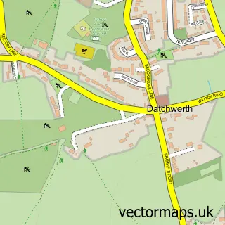
Nearby street map samples around Watton-at-Stone


More street maps in Hertfordshire
750 metre map area coverage
Boundary, postcode and point of interest information for the 750m x 750m rectangle centred on this sample map.
Boundaries containing map centre
Constituency: North East Hertfordshire Co Const
County: Hertfordshire County
District: East Hertfordshire District
Icb: NHS Central East ICB
Parish: Watton-at-Stone CP
Police Force: hertfordshire
Postcode District: SG14
Postcode Sector: SG14 3
Ward: Watton-at-Stone Ward
Nearby boundaries intersecting sample
Postcode Sector: SG14 2
Postcode coverage
POI category counts
Train Station: 3
Beauty And Spa: 2
Dentist: 2
Doctor: 2
Elementary School: 2
Landscaping: 2
Parking: 2
Pub: 2
Scout Hall: 2
Web Designer: 2
Sample points of interest
- Room-by-Room (UK) Ltd
- Parndon Mill
- Mobility Scooter Battery Man
- Angela Jane Cake Design
- Emily Rose Hair & Beauty Boutique Watton at Stone
- Hair by Danielle
- Tp Plastering
- JDS Window Cleaning
- Bridgets B S
- Ethereal Melts
- Peacemakers
- Ap Access Locksmiths
Create a larger editable map of Watton-at-Stone
This sample shows only a 750 metre area. To create a larger map of Watton-at-Stone, use our map builder to choose your own coverage area, add titles and download editable SVG, PDF and PNG files.
Create a custom map of Watton-at-Stone