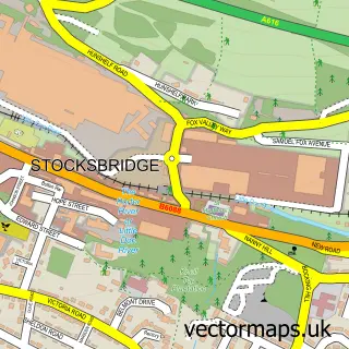
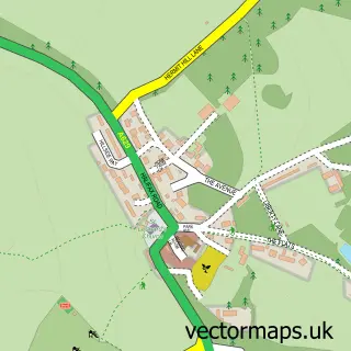
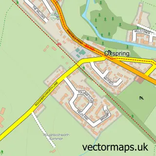
This Deepcar street map is a detailed vector street map covering a 750m x 750m area. Select a larger area to create and download your own vector street map of Deepcar.
The 750-metre map sample for Deepcar covers 476 mapped buildings and approximately 28.5 km of road detail, of which 40 named roads are named. The immediate area includes 2 GP surgeries within 2 miles, 4 pubs and 1 MOT station, with 6 within 2 miles. The wider area around Deepcar features 4 tourism points of interest and 5 food and drink venues. To create a larger or custom map of Deepcar, the map builder lets you define your own coverage area and download editable SVG, PDF and PNG files.
Create a larger editable map of Deepcar
Choose any area you need and generate a high-quality vector map instantly. Perfect for print, planning, design, business and personal use.

This Deepcar street map in South Yorkshire is available as downloadable SVG, PDF and PNG map files, or as a printed map for planning, business, display, education, local information and design work. You can also create a larger custom map area using the map selector.
What this Deepcar map sample shows
Deepcar lies within Stocksbridge Cp parish, part of Stocksbridge And Upper Don ward in the Sheffield District (B) local authority area. The postcode geography for this area includes the S postcode area, the S36 postcode district and the S36 2 postcode sector. Residents fall under the Nhs South Yorkshire Integrated Care Board for NHS services.
Local features near Deepcar
Within 2 milesAmenities and services in and around Deepcar.
Administrative and postcode information for Deepcar
Deepcar lies within Stocksbridge Cp parish, part of Stocksbridge And Upper Don ward in the Sheffield District (B) local authority area. The postcode geography for this area includes the S postcode area, the S36 postcode district and the S36 2 postcode sector. Residents fall under the Nhs South Yorkshire Integrated Care Board for NHS services.
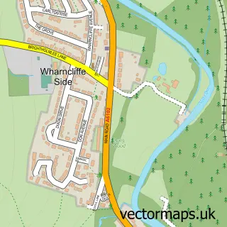
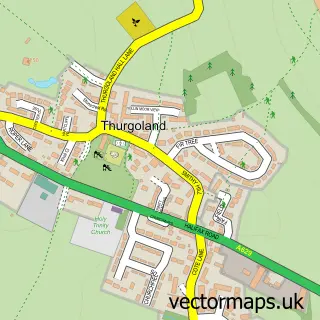
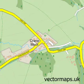
Nearby street map samples around Deepcar

More street maps in South Yorkshire
750 metre map area coverage
Boundary, postcode and point of interest information for the 750m x 750m rectangle centred on this sample map.
Boundaries containing map centre
Constituency: Penistone and Stocksbridge Co Const
District: Sheffield District (B)
Icb: NHS South Yorkshire ICB
Parish: Stocksbridge CP
Police Force: south yorkshire
Postcode District: S36
Postcode Sector: S36 2
Ward: Stocksbridge & Upper Don Ward
Nearby boundaries intersecting sample
No additional intersecting boundaries found.
Postcode coverage
POI category counts
Gas Station: 4
Pub: 4
Automotive Repair: 3
Used Car Dealer: 3
Bakery: 2
Building Supply Store: 2
Business Management Services: 2
Car Dealer: 2
Convenience Store: 2
Cremation Services: 2
Sample points of interest
- Time in Time Out Media Limited
- St Johns Deepcar
- Valley appliance repairs
- Deepcar Service Station
- Don Fields
- Deepcar Autobodies
- Lucas Wheels
- Fleet Rental Solutions
- DCSS Garages Ltd
- M Randall
- SYT Wholesale
- Chef on a bike
Create a larger editable map of Deepcar
This sample shows only a 750 metre area. To create a larger map of Deepcar, use our map builder to choose your own coverage area, add titles and download editable SVG, PDF and PNG files.
Create a custom map of Deepcar