This Wortley street map is a detailed vector street map covering a 750m x 750m area. Select a larger area to create and download your own vector street map of Wortley.
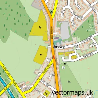
The 750-metre map sample for Wortley covers 81 mapped buildings and approximately 10.9 km of road detail, of which 11 named roads are named. The immediate area includes 1 GP surgery within 2 miles, 2 pubs and 4 MOT stations within 2 miles. The wider area around Wortley features 1 tourism point of interest and 2 food and drink venues. To create a larger or custom map of Wortley, the map builder lets you define your own coverage area and download editable SVG, PDF and PNG files.
Create a larger editable map of Wortley
Choose any area you need and generate a high-quality vector map instantly. Perfect for print, planning, design, business and personal use.

This Wortley street map in South Yorkshire is available as downloadable SVG, PDF and PNG map files, or as a printed map for planning, business, display, education, local information and design work. You can also create a larger custom map area using the map selector.
What this Wortley map sample shows
Wortley lies within Wortley Cp parish, part of Penistone East ward in the Barnsley District (B) local authority area. The postcode geography for this area includes the S postcode area, the S35 postcode district and the S35 7 postcode sector. Residents fall under the Nhs South Yorkshire Integrated Care Board for NHS services.
Local features near Wortley
Within 2 milesAmenities and services in and around Wortley.
Administrative and postcode information for Wortley
The local authority covering Wortley is Barnsley District (B), within the county of South Yorkshire. The settlement lies within Penistone East ward and Wortley Cp civil parish. The S35 postcode district and S35 7 postcode sector serve the immediate area. NHS provision in the area is delivered through Barnsley Hospital Nhs Foundation Trust.
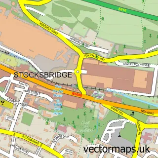
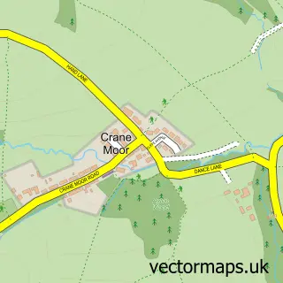
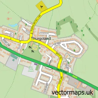
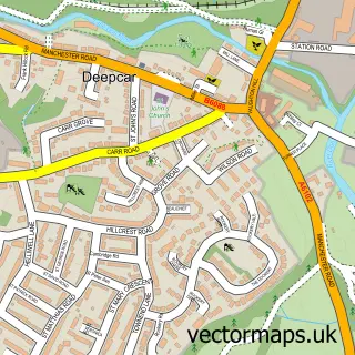
Nearby street map samples around Wortley

More street maps in South Yorkshire
750 metre map area coverage
Boundary, postcode and point of interest information for the 750m x 750m rectangle centred on this sample map.
Boundaries containing map centre
Constituency: Penistone and Stocksbridge Co Const
District: Barnsley District (B)
Icb: NHS South Yorkshire ICB
Parish: Wortley CP
Police Force: south yorkshire
Postcode District: S35
Postcode Sector: S35 7
Ward: Penistone East Ward
Nearby boundaries intersecting sample
No additional intersecting boundaries found.
Postcode coverage
POI category counts
Post Office: 2
Pub: 2
Accommodation: 1
Anglican Church: 1
Arts And Entertainment: 1
Auto Detailing: 1
Bed And Breakfast: 1
Bike Repair Maintenance: 1
Campground: 1
Currency Exchange: 1
Sample points of interest
- Wortley Village
- St Leonard's Church
- Calligraphy by Angela
- Wet n Wax Valeting
- wortley cottage guest house
- Wortley Cycles
- Wortley Hall Caravan Club Cl
- Post Office Travel Money
- Eat Great Meat
- Post Office-Wortley
- Wortley Post Office And Stores
- Wharncliffe Estates
Create a larger editable map of Wortley
This sample shows only a 750 metre area. To create a larger map of Wortley, use our map builder to choose your own coverage area, add titles and download editable SVG, PDF and PNG files.
Create a custom map of Wortley