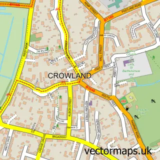
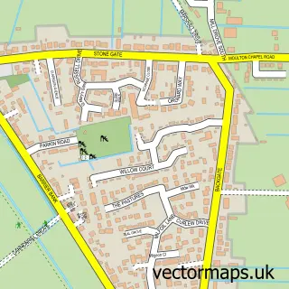
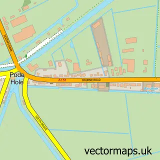
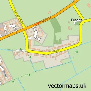
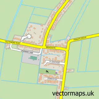
This Deeping St Nicholas street map is a detailed vector street map covering a 750m x 750m area. Select a larger area to create and download your own vector street map of Deeping St Nicholas.
The 750-metre map sample for Deeping St Nicholas covers 276 mapped buildings and approximately 16.2 km of road detail, of which 15 named roads are named. The wider area around Deeping St Nicholas features 1 tourism point of interest. To create a larger or custom map of Deeping St Nicholas, the map builder lets you define your own coverage area and download editable SVG, PDF and PNG files.
Create a larger editable map of Deeping St Nicholas
Choose any area you need and generate a high-quality vector map instantly. Perfect for print, planning, design, business and personal use.

This Deeping St Nicholas street map in Lincolnshire is available as downloadable SVG, PDF and PNG map files, or as a printed map for planning, business, display, education, local information and design work. You can also create a larger custom map area using the map selector.
What this Deeping St Nicholas map sample shows
Deeping St Nicholas lies within Deeping St. Nicholas Cp parish, part of Crowland And Deeping St Nicholas ward in the South Holland District local authority area. The postcode geography for this area includes the PE postcode area, the PE11 postcode district and the PE11 3 postcode sector. Residents fall under the Nhs Lincolnshire Integrated Care Board for NHS services.
Local features near Deeping St Nicholas
Within 2 milesAmenities and services in and around Deeping St Nicholas.
Administrative and postcode information for Deeping St Nicholas
The local authority covering Deeping St Nicholas is South Holland District, within the county of Lincolnshire. The settlement lies within Crowland And Deeping St Nicholas ward and Deeping St. Nicholas Cp civil parish. The PE11 postcode district and PE11 3 postcode sector serve the immediate area. NHS provision in the area is delivered through United Lincolnshire Hospitals Nhs Trust.
Nearby street map samples around Deeping St Nicholas

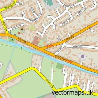
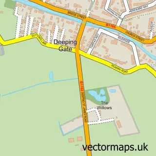
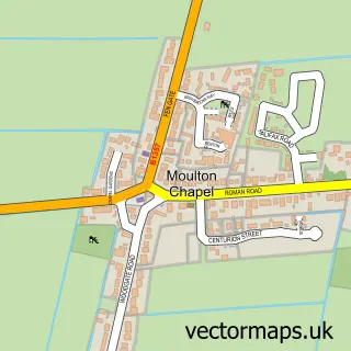
More street maps in Lincolnshire
750 metre map area coverage
Boundary, postcode and point of interest information for the 750m x 750m rectangle centred on this sample map.
Boundaries containing map centre
Constituency: South Holland and The Deepings Co Const
County: Lincolnshire County
District: South Holland District
Icb: NHS Lincolnshire ICB
Parish: Deeping St. Nicholas CP
Police Force: lincolnshire
Postcode District: PE11
Postcode Sector: PE11 3
Ward: Crowland and Deeping St. Nicholas Ward
Nearby boundaries intersecting sample
No additional intersecting boundaries found.
Postcode coverage
POI category counts
Building Supply Store: 3
Landscape Architect: 2
Bakery: 1
Bridal Shop: 1
Interior Design: 1
Landmark And Historical Building: 1
Laundry Services: 1
Pet Store: 1
Professional Services: 1
Train Station: 1
Sample points of interest
- Iced Rose Cakes
- Special Dayz
- J G Carpentry
- Oakfield UK Landscaping
- S.S Landscapes & Home Improvements
- PE MA Design Consultancy
- Deeping Fen
- N J Pacey Landscaping Ltd.
- N.J. Pacey Landscaping Ltd.
- Proclean
- Vine House Farm
- Peter Redhead Photography
Create a larger editable map of Deeping St Nicholas
This sample shows only a 750 metre area. To create a larger map of Deeping St Nicholas, use our map builder to choose your own coverage area, add titles and download editable SVG, PDF and PNG files.
Create a custom map of Deeping St Nicholas