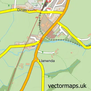
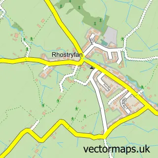
This Dinas Dinlle street map is a detailed vector street map covering a 750m x 750m area. Select a larger area to create and download your own vector street map of Dinas Dinlle.
The 750-metre map sample for Dinas Dinlle covers 64 mapped buildings and approximately 8.6 km of road detail. The wider area around Dinas Dinlle features 4 tourism points of interest, 2 hotels and 1 campsite within 2 miles. To create a larger or custom map of Dinas Dinlle, the map builder lets you define your own coverage area and download editable SVG, PDF and PNG files.
Create a larger editable map of Dinas Dinlle
Choose any area you need and generate a high-quality vector map instantly. Perfect for print, planning, design, business and personal use.

This Dinas Dinlle street map in Gwynedd is available as downloadable SVG, PDF and PNG map files, or as a printed map for planning, business, display, education, local information and design work. You can also create a larger custom map area using the map selector.
What this Dinas Dinlle map sample shows
Dinas Dinlle lies within Llandwrog Community parish, part of Groeslon ward in the Gwynedd - Gwynedd local authority area. The postcode geography for this area includes the LL postcode area, the LL54 postcode district and the LL54 5 postcode sector. Residents fall under the Betsi Cadwaladr University Health Board for NHS services.
Local features near Dinas Dinlle
Within 2 milesAmenities and services in and around Dinas Dinlle.
Administrative and postcode information for Dinas Dinlle
Dinas Dinlle lies within Llandwrog Community parish, part of Groeslon ward in the Gwynedd - Gwynedd local authority area. The postcode geography for this area includes the LL postcode area, the LL54 postcode district and the LL54 5 postcode sector. Residents fall under the Betsi Cadwaladr University Health Board for NHS services.
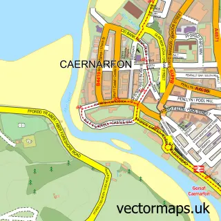
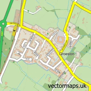
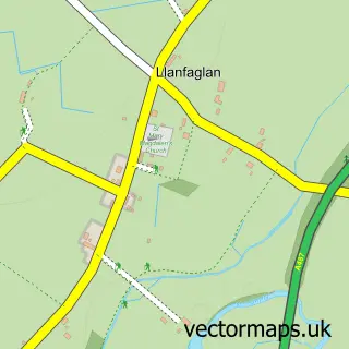
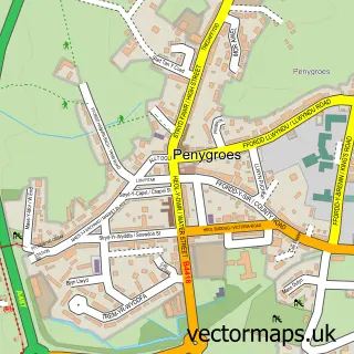
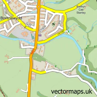
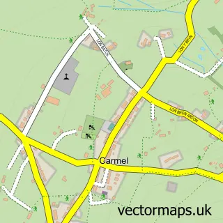
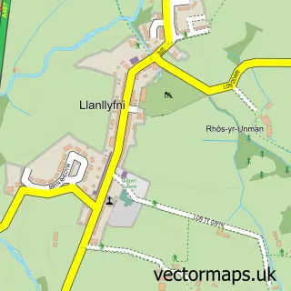
Nearby street map samples around Dinas Dinlle

More street maps in Gwynedd
750 metre map area coverage
Boundary, postcode and point of interest information for the 750m x 750m rectangle centred on this sample map.
Boundaries containing map centre
Constituency: Dwyfor Meirionnydd Co Const
District: Gwynedd - Gwynedd
Icb: Betsi Cadwaladr University
Parish: Llandwrog Community
Police Force: north wales
Postcode District: LL54
Postcode Sector: LL54 5
Nearby boundaries intersecting sample
No additional intersecting boundaries found.
Postcode coverage
POI category counts
Beach: 3
Campground: 3
Holiday Rental Home: 3
British Restaurant: 1
Event Planning: 1
Fish And Chips Restaurant: 1
History Museum: 1
Hotel: 1
Rv Park: 1
Shopping: 1
Sample points of interest
- Dinas Beach
- Dinas Dinlle
- Dinas Dinlle Beach
- Dingle Restaurant
- Caernarfon Bay Caravan Park
- Dinlle Caravan Park
- Dinlle Caravan Park
- BRAF
- The Surfer Chippy
- Airworld Aviation Museum Limited
- Gwyddonfa
- Thornley Leisure
Create a larger editable map of Dinas Dinlle
This sample shows only a 750 metre area. To create a larger map of Dinas Dinlle, use our map builder to choose your own coverage area, add titles and download editable SVG, PDF and PNG files.
Create a custom map of Dinas Dinlle