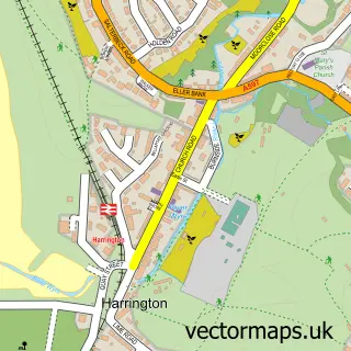
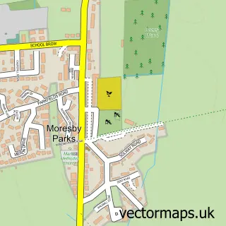
This Distington street map is a detailed vector street map covering a 750m x 750m area. Select a larger area to create and download your own vector street map of Distington.
The 750-metre map sample for Distington covers 193 mapped buildings and approximately 10.6 km of road detail, of which 17 named roads are named. The immediate area includes 1 school, 1 GP surgery and 8 MOT stations within 2 miles. To create a larger or custom map of Distington, the map builder lets you define your own coverage area and download editable SVG, PDF and PNG files.
Create a larger editable map of Distington
Choose any area you need and generate a high-quality vector map instantly. Perfect for print, planning, design, business and personal use.

This Distington street map in Cumbria is available as downloadable SVG, PDF and PNG map files, or as a printed map for planning, business, display, education, local information and design work. You can also create a larger custom map area using the map selector.
What this Distington map sample shows
Distington lies within Distington Cp parish, part of Distington, Lowca & Parton ward in the Cumberland local authority area. The postcode geography for this area includes the CA postcode area, the CA14 postcode district and the CA14 5 postcode sector. Residents fall under the Nhs North East And North Cumbria Integrated Care Board for NHS services.
Local features near Distington
Within 2 milesAmenities and services in and around Distington.
Administrative and postcode information for Distington
The local authority covering Distington is Cumberland, within the county of Cumbria. The settlement lies within Distington, Lowca & Parton ward and Distington Cp civil parish. The CA14 postcode district and CA14 5 postcode sector serve the immediate area. NHS provision in the area is delivered through North Cumbria Integrated Care Nhs Foundation Trust.
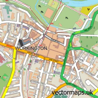
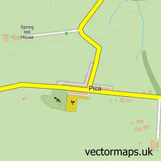
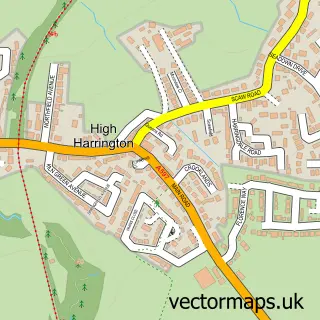
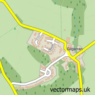
Nearby street map samples around Distington

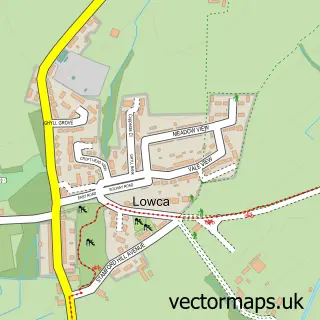
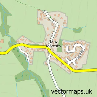
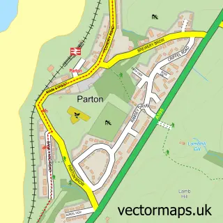
More street maps in Cumbria
750 metre map area coverage
Boundary, postcode and point of interest information for the 750m x 750m rectangle centred on this sample map.
Boundaries containing map centre
Constituency: Whitehaven and Workington Co Const
District: Cumberland
Icb: NHS North East and North Cumbria ICB
Parish: Distington CP
Police Force: cumbria
Postcode District: CA14
Postcode Sector: CA14 5
Ward: Howgate Ward
Nearby boundaries intersecting sample
Postcode Sector: CA14 4
Postcode coverage
POI category counts
Convenience Store: 2
Arts And Entertainment: 1
Assisted Living Facility: 1
Automotive Services And Repair: 1
Bar: 1
Beach: 1
Building Supply Store: 1
Car Rental Agency: 1
Church Cathedral: 1
Doctor: 1
Sample points of interest
- Pet Portraits etc
- Roseberry Care Centres
- Eclipse Fitness Services UK
- The Globe
- Parton Beach
- A J S Interior Design & Appliances Ltd
- Avis UK
- Church of the Holy Spirit
- McColl's
- Morrisons Daily
- Distington Surgery
- Rathbone
Create a larger editable map of Distington
This sample shows only a 750 metre area. To create a larger map of Distington, use our map builder to choose your own coverage area, add titles and download editable SVG, PDF and PNG files.
Create a custom map of Distington