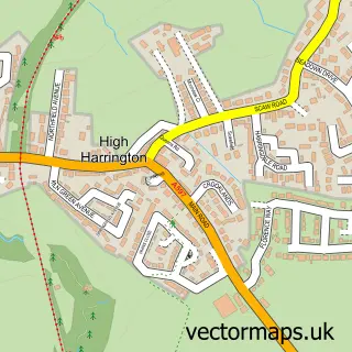
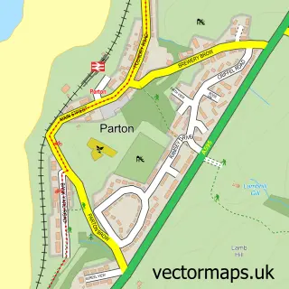
This Harrington street map is a detailed vector street map covering a 750m x 750m area. Select a larger area to create and download your own vector street map of Harrington.
The 750-metre map sample for Harrington covers 251 mapped buildings and approximately 9.8 km of road detail, of which 23 named roads are named. The immediate area includes 1 school, 1 railway station, 1 GP surgery within 2 miles and 2 pubs among other local services. The wider area around Harrington features 2 food and drink venues. To create a larger or custom map of Harrington, the map builder lets you define your own coverage area and download editable SVG, PDF and PNG files.
Create a larger editable map of Harrington
Choose any area you need and generate a high-quality vector map instantly. Perfect for print, planning, design, business and personal use.

This Harrington street map in Cumbria is available as downloadable SVG, PDF and PNG map files, or as a printed map for planning, business, display, education, local information and design work. You can also create a larger custom map area using the map selector.
What this Harrington map sample shows
Harrington lies within Workington Cp parish, part of Harrington & Salterbeck ward in the Cumberland local authority area. The postcode geography for this area includes the CA postcode area, the CA14 postcode district and the CA14 5 postcode sector. Residents fall under the Nhs North East And North Cumbria Integrated Care Board for NHS services.
Local features near Harrington
Within 2 milesAmenities and services in and around Harrington.
Administrative and postcode information for Harrington
Harrington lies within Workington Cp parish, part of Harrington & Salterbeck ward in the Cumberland local authority area. The postcode geography for this area includes the CA postcode area, the CA14 postcode district and the CA14 5 postcode sector. Residents fall under the Nhs North East And North Cumbria Integrated Care Board for NHS services.
Nearby street map samples around Harrington

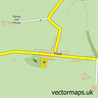
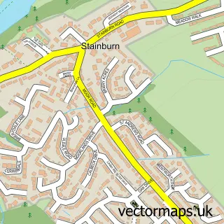
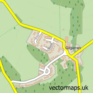
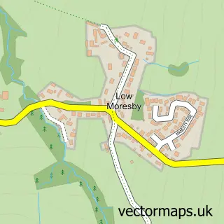
More street maps in Cumbria
750 metre map area coverage
Boundary, postcode and point of interest information for the 750m x 750m rectangle centred on this sample map.
Boundaries containing map centre
Constituency: Whitehaven and Workington Co Const
District: Cumberland
Icb: NHS North East and North Cumbria ICB
Parish: Workington CP
Police Force: cumbria
Postcode District: CA14
Postcode Sector: CA14 5
Ward: Harrington Ward
Nearby boundaries intersecting sample
No additional intersecting boundaries found.
Postcode coverage
POI category counts
Church Cathedral: 3
Hair Salon: 3
Train Station: 3
Catholic Church: 2
Pub: 2
Alternative Medicine: 1
Assisted Living Facility: 1
Atms: 1
Auto Detailing: 1
Automotive: 1
Sample points of interest
- InnerVision-Cumbria
- Westwinds Residential Home
- Morrisons Daily - Workington Church Road, Harrington
- Car Spa
- Church Road Garage
- Harrington Beach
- Emrys Hair and Beauty
- Pioneer Foods
- Ladbrokes
- St Mary's Catholic Church
- St Mary's on the Hill, Harrington
- Harrington United Reformed Church
Create a larger editable map of Harrington
This sample shows only a 750 metre area. To create a larger map of Harrington, use our map builder to choose your own coverage area, add titles and download editable SVG, PDF and PNG files.
Create a custom map of Harrington