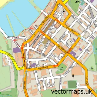
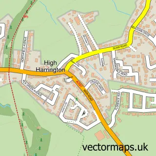
This Parton street map is a detailed vector street map covering a 750m x 750m area. Select a larger area to create and download your own vector street map of Parton.
The 750-metre map sample for Parton covers 151 mapped buildings and approximately 10.8 km of road detail, of which 11 named roads are named. The immediate area includes 1 school, 1 railway station, 2 GP surgeries within 2 miles and 6 MOT stations within 2 miles. The wider area around Parton features 1 hotel. To create a larger or custom map of Parton, the map builder lets you define your own coverage area and download editable SVG, PDF and PNG files.
Create a larger editable map of Parton
Choose any area you need and generate a high-quality vector map instantly. Perfect for print, planning, design, business and personal use.

This Parton street map in Cumbria is available as downloadable SVG, PDF and PNG map files, or as a printed map for planning, business, display, education, local information and design work. You can also create a larger custom map area using the map selector.
What this Parton map sample shows
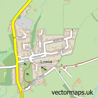
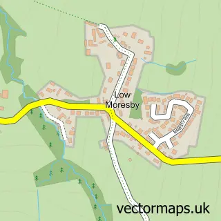
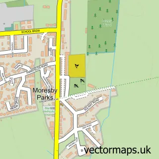
Parton lies within Moresby Cp parish, part of Moresby ward in the Cumberland local authority area. The postcode geography for this area includes the CA postcode area, the CA28 postcode district and the CA28 6 postcode sector. Residents fall under the Nhs North East And North Cumbria Integrated Care Board for NHS services.
Local features near Parton
Within 2 milesAmenities and services in and around Parton.
Administrative and postcode information for Parton
Parton lies within Moresby Cp parish, part of Moresby ward in the Cumberland local authority area. The postcode geography for this area includes the CA postcode area, the CA28 postcode district and the CA28 6 postcode sector. Residents fall under the Nhs North East And North Cumbria Integrated Care Board for NHS services.
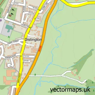
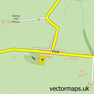
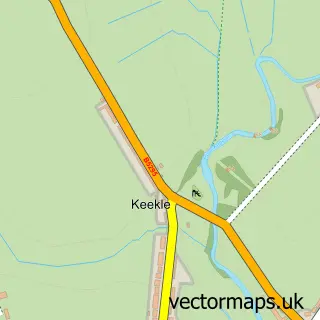
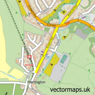
Nearby street map samples around Parton

More street maps in Cumbria
750 metre map area coverage
Boundary, postcode and point of interest information for the 750m x 750m rectangle centred on this sample map.
Boundaries containing map centre
Constituency: Whitehaven and Workington Co Const
District: Cumberland
Icb: NHS North East and North Cumbria ICB
Parish: Parton CP
Police Force: cumbria
Postcode District: CA28
Postcode Sector: CA28 6
Ward: Howgate Ward
Nearby boundaries intersecting sample
Parish: Moresby CP
Postcode coverage
POI category counts
Train Station: 4
Driving School: 2
Bar: 1
Caterer: 1
Elementary School: 1
Hardware Store: 1
Hotel: 1
Package Locker: 1
Playground: 1
Public Service And Government: 1
Sample points of interest
- Get Fizzed - Prosecco Van & Pop-Up Pub Service
- The Pantry, Parton 07783878672
- ABC School of Motoring
- Pauls Driving School
- St Bridget's Church of England Primary School
- Triumph scaffolding
- Parton by the Sea
- InPost
- Parton Playground
- Parton Parish Council
- Parton Village Hall
- Parton
Create a larger editable map of Parton
This sample shows only a 750 metre area. To create a larger map of Parton, use our map builder to choose your own coverage area, add titles and download editable SVG, PDF and PNG files.
Create a custom map of Parton