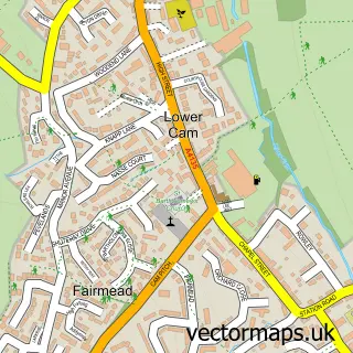
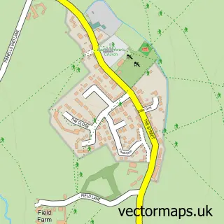
This Dursley street map is a detailed vector street map covering a 750m x 750m area. Select a larger area to create and download your own vector street map of Dursley.
The 750-metre map sample for Dursley covers 463 mapped buildings and approximately 18.5 km of road detail, of which 46 named roads are named. The immediate area includes 1 GP surgery, with 2 within 2 miles, 4 pubs and 2 MOT stations, with 6 within 2 miles. The wider area around Dursley features 5 tourism points of interest, 7 food and drink venues and 2 hotels. To create a larger or custom map of Dursley, the map builder lets you define your own coverage area and download editable SVG, PDF and PNG files.
Create a larger editable map of Dursley
Choose any area you need and generate a high-quality vector map instantly. Perfect for print, planning, design, business and personal use.

This Dursley street map in Gloucestershire is available as downloadable SVG, PDF and PNG map files, or as a printed map for planning, business, display, education, local information and design work. You can also create a larger custom map area using the map selector.
What this Dursley map sample shows
Dursley lies within Dursley Cp parish, part of Dursley ward in the Stroud District local authority area. The postcode geography for this area includes the GL postcode area, the GL11 postcode district and the GL11 4 postcode sector. Residents fall under the Nhs Gloucestershire Integrated Care Board for NHS services.
Local features near Dursley
Within 2 milesAmenities and services in and around Dursley.
Administrative and postcode information for Dursley
Dursley lies within Dursley Cp parish, part of Dursley ward in the Stroud District local authority area. The postcode geography for this area includes the GL postcode area, the GL11 postcode district and the GL11 4 postcode sector. Residents fall under the Nhs Gloucestershire Integrated Care Board for NHS services.
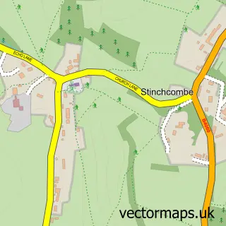
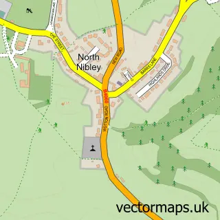
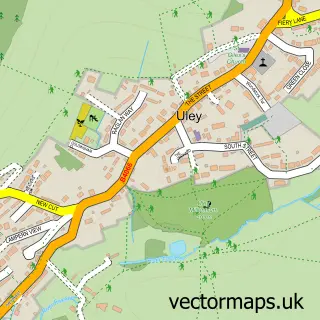
Nearby street map samples around Dursley


More street maps in Gloucestershire
750 metre map area coverage
Boundary, postcode and point of interest information for the 750m x 750m rectangle centred on this sample map.
Boundaries containing map centre
Constituency: Stroud Co Const
County: Gloucestershire County
District: Stroud District
Icb: NHS Gloucestershire ICB
Parish: Dursley CP
Police Force: gloucestershire
Postcode District: GL11
Postcode Sector: GL11 4
Ward: Dursley Ward
Nearby boundaries intersecting sample
Postcode Sector: GL11 6
Postcode coverage
POI category counts
Community Services Non Profits: 7
Beauty Salon: 6
Professional Services: 6
Bicycle Shop: 4
Church Cathedral: 4
Dentist: 4
Fast Food Restaurant: 4
Grocery Store: 4
Gym: 4
Pub: 4
Sample points of interest
- Burton Sweet Ltd.
- Stinchcombe MTB Trails
- Dursley Education Centre
- Edge Media
- Energy Creative
- The Engine
- St James the Great
- Cotswood Care Hospice
- Wyke House
- R A Bennett Estate Agents Dursley
- R. A. Bennett & Partners
- Breen Meta Architects Ltd.
Create a larger editable map of Dursley
This sample shows only a 750 metre area. To create a larger map of Dursley, use our map builder to choose your own coverage area, add titles and download editable SVG, PDF and PNG files.
Create a custom map of Dursley