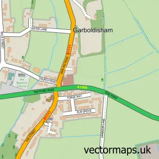
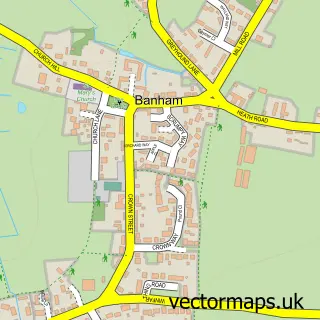
This East Harling street map is a detailed vector street map covering a 750m x 750m area. Select a larger area to create and download your own vector street map of East Harling.
The 750-metre map sample for East Harling covers 443 mapped buildings and approximately 12.9 km of road detail, of which 30 named roads are named. The immediate area includes 1 school, 1 GP surgery, 3 pubs and 1 MOT station within 2 miles. The wider area around East Harling features 3 food and drink venues. To create a larger or custom map of East Harling, the map builder lets you define your own coverage area and download editable SVG, PDF and PNG files.
Create a larger editable map of East Harling
Choose any area you need and generate a high-quality vector map instantly. Perfect for print, planning, design, business and personal use.

This East Harling street map in Norfolk is available as downloadable SVG, PDF and PNG map files, or as a printed map for planning, business, display, education, local information and design work. You can also create a larger custom map area using the map selector.
What this East Harling map sample shows
East Harling lies within Harling Cp parish, part of Harling & Heathlands ward in the Breckland District local authority area. The postcode geography for this area includes the NR postcode area, the NR16 postcode district and the NR16 2 postcode sector. Residents fall under the Nhs Norfolk And Waveney Integrated Care Board for NHS services.
Local features near East Harling
Within 2 milesAmenities and services in and around East Harling.
Administrative and postcode information for East Harling
The local authority covering East Harling is Breckland District, within the county of Norfolk. The settlement lies within Harling & Heathlands ward and Harling Cp civil parish. The NR16 postcode district and NR16 2 postcode sector serve the immediate area. NHS provision in the area is delivered through Norfolk And Norwich University Hospitals Nhs Foundation Trust.
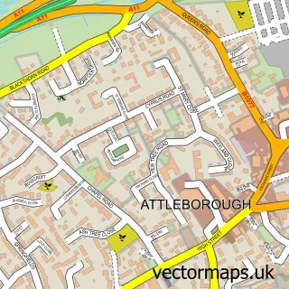
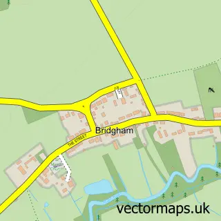
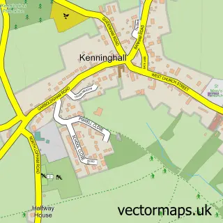
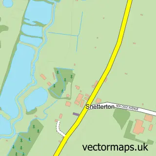
Nearby street map samples around East Harling

More street maps in Norfolk
750 metre map area coverage
Boundary, postcode and point of interest information for the 750m x 750m rectangle centred on this sample map.
Boundaries containing map centre
Constituency: South West Norfolk Co Const
County: Norfolk County
District: Breckland District
Icb: NHS Norfolk and Waveney ICB
Parish: Harling CP
Police Force: norfolk
Postcode District: NR16
Postcode Sector: NR16 2
Ward: Harling & Heathlands Ward
Nearby boundaries intersecting sample
No additional intersecting boundaries found.
Postcode coverage
POI category counts
Butcher Shop: 3
Pub: 3
Bakery: 2
Building Supply Store: 2
Chinese Restaurant: 2
Convenience Store: 2
Doctor: 2
Fire Department: 2
Hair Salon: 2
Key And Locksmith: 2
Sample points of interest
- J M Wojciechowski Bsc Mrics Fasi Fciob
- Maz Jackson
- Fine Design Soft Furnishings
- Becky's Cakes and Bakes
- Cheesecake Norfolk
- Hair’ology
- Overy Farm House B&B
- A F Maguire Electrical Contractors
- Country blinds And shutters
- C J Barkers
- F L Edge & Son
- F.L. Edge & Son Butchers
Create a larger editable map of East Harling
This sample shows only a 750 metre area. To create a larger map of East Harling, use our map builder to choose your own coverage area, add titles and download editable SVG, PDF and PNG files.
Create a custom map of East Harling