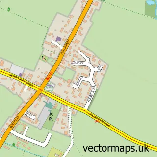
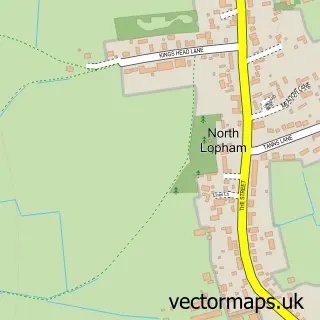
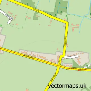
This Garboldisham street map is a detailed vector street map covering a 750m x 750m area. Select a larger area to create and download your own vector street map of Garboldisham.
The 750-metre map sample for Garboldisham covers 152 mapped buildings and approximately 9.9 km of road detail, of which 12 named roads are named. The immediate area includes 1 school, 1 pub and 1 MOT station within 2 miles. The wider area around Garboldisham features 1 food and drink venue. To create a larger or custom map of Garboldisham, the map builder lets you define your own coverage area and download editable SVG, PDF and PNG files.
Create a larger editable map of Garboldisham
Choose any area you need and generate a high-quality vector map instantly. Perfect for print, planning, design, business and personal use.

This Garboldisham street map in Norfolk is available as downloadable SVG, PDF and PNG map files, or as a printed map for planning, business, display, education, local information and design work. You can also create a larger custom map area using the map selector.
What this Garboldisham map sample shows
Garboldisham lies within Garboldisham Cp parish, part of Guiltcross ward in the Breckland District local authority area. The postcode geography for this area includes the IP postcode area, the IP22 postcode district and the IP22 2 postcode sector. Residents fall under the Nhs Norfolk And Waveney Integrated Care Board for NHS services.
Local features near Garboldisham
Within 2 milesAmenities and services in and around Garboldisham.
Administrative and postcode information for Garboldisham
Garboldisham lies within Garboldisham Cp parish, part of Guiltcross ward in the Breckland District local authority area. The postcode geography for this area includes the IP postcode area, the IP22 postcode district and the IP22 2 postcode sector. Residents fall under the Nhs Norfolk And Waveney Integrated Care Board for NHS services.
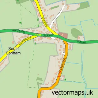
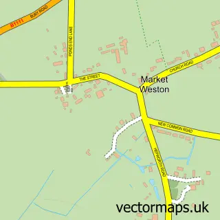
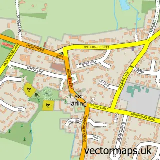
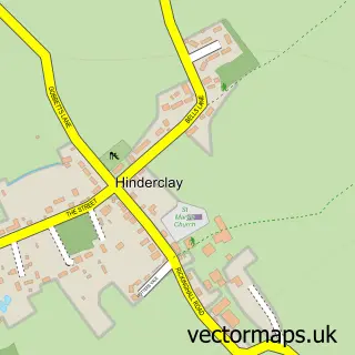
Nearby street map samples around Garboldisham

More street maps in Norfolk
750 metre map area coverage
Boundary, postcode and point of interest information for the 750m x 750m rectangle centred on this sample map.
Boundaries containing map centre
Constituency: South West Norfolk Co Const
County: Norfolk County
District: Breckland District
Icb: NHS Norfolk and Waveney ICB
Parish: Garboldisham CP
Police Force: norfolk
Postcode District: IP22
Postcode Sector: IP22 2
Ward: Guiltcross Ward
Nearby boundaries intersecting sample
No additional intersecting boundaries found.
Postcode coverage
POI category counts
Elementary School: 2
Anglican Church: 1
Convenience Store: 1
Financial Service: 1
Life Insurance: 1
Pet Services: 1
Post Office: 1
Pub: 1
Self Storage Facility: 1
Sewing And Alterations: 1
Sample points of interest
- Garboldisham: St John the Baptist
- Garboldisham Village Shop
- Garboldisham Church Primary Academy
- Garboldisham VC Primary School
- Money Matters 2u UK
- MoneyMatters Financial Services
- Vet Wound Library
- Garboldisham Sub Post Office
- Fox Inn Garboldisham
- Fuel Tank Services
- Julia does Sewing
- Post Office-Garboldisham
Create a larger editable map of Garboldisham
This sample shows only a 750 metre area. To create a larger map of Garboldisham, use our map builder to choose your own coverage area, add titles and download editable SVG, PDF and PNG files.
Create a custom map of Garboldisham