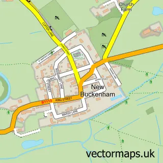
This Kenninghall street map is a detailed vector street map covering a 750m x 750m area. Select a larger area to create and download your own vector street map of Kenninghall.
The 750-metre map sample for Kenninghall covers 195 mapped buildings and approximately 16.9 km of road detail, of which 12 named roads are named. The immediate area includes 1 school, 2 pubs and 1 MOT station within 2 miles. The wider area around Kenninghall features 3 food and drink venues and 1 campsite within 2 miles. To create a larger or custom map of Kenninghall, the map builder lets you define your own coverage area and download editable SVG, PDF and PNG files.
Create a larger editable map of Kenninghall
Choose any area you need and generate a high-quality vector map instantly. Perfect for print, planning, design, business and personal use.

This Kenninghall street map in Norfolk is available as downloadable SVG, PDF and PNG map files, or as a printed map for planning, business, display, education, local information and design work. You can also create a larger custom map area using the map selector.
What this Kenninghall map sample shows
Kenninghall lies within Kenninghall Cp parish, part of Guiltcross ward in the Breckland District local authority area. The postcode geography for this area includes the NR postcode area, the NR16 postcode district and the NR16 2 postcode sector. Residents fall under the Nhs Norfolk And Waveney Integrated Care Board for NHS services.
Local features near Kenninghall
Within 2 milesAmenities and services in and around Kenninghall.
Administrative and postcode information for Kenninghall
Kenninghall lies within Kenninghall Cp parish, part of Guiltcross ward in the Breckland District local authority area. The postcode geography for this area includes the NR postcode area, the NR16 postcode district and the NR16 2 postcode sector. Residents fall under the Nhs Norfolk And Waveney Integrated Care Board for NHS services.
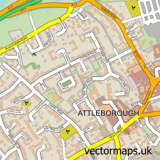
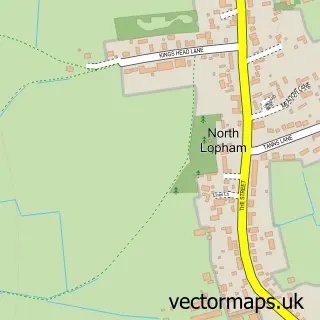
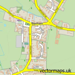
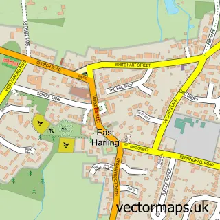
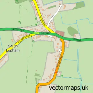
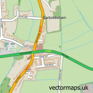
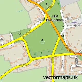
Nearby street map samples around Kenninghall

More street maps in Norfolk
750 metre map area coverage
Boundary, postcode and point of interest information for the 750m x 750m rectangle centred on this sample map.
Boundaries containing map centre
Constituency: South West Norfolk Co Const
County: Norfolk County
District: Breckland District
Icb: NHS Norfolk and Waveney ICB
Parish: Kenninghall CP
Police Force: norfolk
Postcode District: NR16
Postcode Sector: NR16 2
Ward: Guiltcross Ward
Nearby boundaries intersecting sample
No additional intersecting boundaries found.
Postcode coverage
POI category counts
Convenience Store: 2
Pub: 2
Anglican Church: 1
Beauty Salon: 1
Carpenter: 1
Chimney Sweep: 1
Church Cathedral: 1
Coffee Shop: 1
Community Services Non Profits: 1
Doctor: 1
Sample points of interest
- Kenninghall: St Mary's
- Hairdresser. The Cutting Garden
- JB Carpentry Door & Kitchen Specialists
- CTB Sweeping
- St Mary's Church
- Banham Butcher’s & Banham Creative Cakes
- TinyTots
- Kenninghall Post Office
- Premier Kenninghall Stores & Post Office
- Kenninghall Practice
- Kenninghall Primary School
- Kings Ride Surgery
Create a larger editable map of Kenninghall
This sample shows only a 750 metre area. To create a larger map of Kenninghall, use our map builder to choose your own coverage area, add titles and download editable SVG, PDF and PNG files.
Create a custom map of Kenninghall