This Elsworth street map is a detailed vector street map covering a 750m x 750m area. Select a larger area to create and download your own vector street map of Elsworth.
The 750-metre map sample for Elsworth covers 259 mapped buildings and approximately 12.6 km of road detail, of which 17 named roads are named. The immediate area includes 1 GP surgery within 2 miles, 3 pubs and 1 MOT station within 2 miles. The wider area around Elsworth features 3 food and drink venues. To create a larger or custom map of Elsworth, the map builder lets you define your own coverage area and download editable SVG, PDF and PNG files.
Create a larger editable map of Elsworth
Choose any area you need and generate a high-quality vector map instantly. Perfect for print, planning, design, business and personal use.

This Elsworth street map in Cambridgeshire is available as downloadable SVG, PDF and PNG map files, or as a printed map for planning, business, display, education, local information and design work. You can also create a larger custom map area using the map selector.
What this Elsworth map sample shows
Elsworth lies within Elsworth Cp parish, part of Caxton & Papworth ward in the South Cambridgeshire District local authority area. The postcode geography for this area includes the CB postcode area, the CB23 postcode district and the CB23 4 postcode sector. Residents fall under the Nhs Cambridgeshire And Peterborough Integrated Care Board for NHS services.
Local features near Elsworth
Within 2 milesAmenities and services in and around Elsworth.
Administrative and postcode information for Elsworth
The local authority covering Elsworth is South Cambridgeshire District, within the county of Cambridgeshire. The settlement lies within Caxton & Papworth ward and Elsworth Cp civil parish. The CB23 postcode district and CB23 4 postcode sector serve the immediate area. NHS provision in the area is delivered through Cambridge University Hospitals Nhs Foundation Trust.
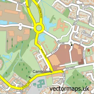
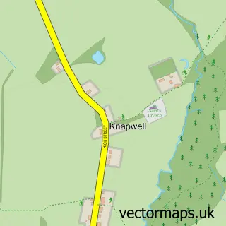
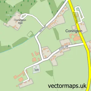
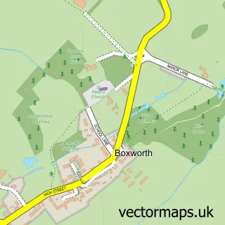
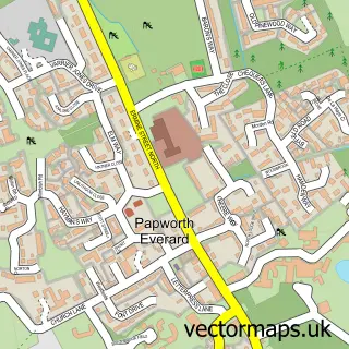
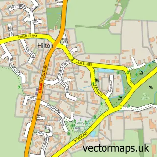
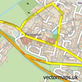
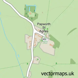
Nearby street map samples around Elsworth

More street maps in Cambridgeshire
750 metre map area coverage
Boundary, postcode and point of interest information for the 750m x 750m rectangle centred on this sample map.
Boundaries containing map centre
Constituency: St. Neots and Mid Cambridgeshire Co Const
County: Cambridgeshire County
District: South Cambridgeshire District
Icb: NHS Central East ICB
Parish: Elsworth CP
Police Force: cambridgeshire
Postcode District: CB23
Postcode Sector: CB23 4
Ward: Caxton & Papworth Ward
Nearby boundaries intersecting sample
No additional intersecting boundaries found.
Postcode coverage
POI category counts
Pub: 3
Software Development: 2
Advertising Agency: 1
Anglican Church: 1
Art School: 1
Automotive Repair: 1
Bakery: 1
Beauty Salon: 1
Business Management Services: 1
Business Manufacturing And Supply: 1
Sample points of interest
- Symmetry D P M
- Elsworth Holy Trinity
- Little Bird Art Studio
- Empsons Garage
- Warren's Bakery Cambridge MSA
- Rejuvenate Medical Aesthetics
- Edge Agency
- Zimiti
- Lisa Kent Trust
- Elsworth Village Shop
- The Workspace Consultants
- Isomass Ltd.
Create a larger editable map of Elsworth
This sample shows only a 750 metre area. To create a larger map of Elsworth, use our map builder to choose your own coverage area, add titles and download editable SVG, PDF and PNG files.
Create a custom map of Elsworth