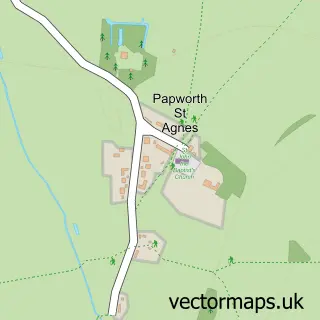
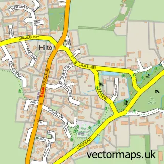
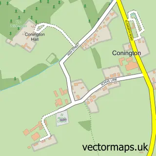
This Papworth Everard street map is a detailed vector street map covering a 750m x 750m area. Select a larger area to create and download your own vector street map of Papworth Everard.
The 750-metre map sample for Papworth Everard covers 410 mapped buildings and approximately 16.8 km of road detail, of which 34 named roads are named. The immediate area includes 2 schools, 1 GP surgery, 1 pub and 1 MOT station within 2 miles. The wider area around Papworth Everard features 2 food and drink venues. To create a larger or custom map of Papworth Everard, the map builder lets you define your own coverage area and download editable SVG, PDF and PNG files.
Create a larger editable map of Papworth Everard
Choose any area you need and generate a high-quality vector map instantly. Perfect for print, planning, design, business and personal use.

This Papworth Everard street map in Cambridgeshire is available as downloadable SVG, PDF and PNG map files, or as a printed map for planning, business, display, education, local information and design work. You can also create a larger custom map area using the map selector.
What this Papworth Everard map sample shows
Papworth Everard lies within Papworth St. Agnes Cp parish, part of Caxton & Papworth ward in the South Cambridgeshire District local authority area. The postcode geography for this area includes the CB postcode area, the CB23 postcode district and the CB23 3 postcode sector. Residents fall under the Nhs Cambridgeshire And Peterborough Integrated Care Board for NHS services.
Local features near Papworth Everard
Within 2 milesAmenities and services in and around Papworth Everard.
Administrative and postcode information for Papworth Everard
The local authority covering Papworth Everard is South Cambridgeshire District, within the county of Cambridgeshire. The settlement lies within Caxton & Papworth ward and Papworth St. Agnes Cp civil parish. The CB23 postcode district and CB23 3 postcode sector serve the immediate area. NHS provision in the area is delivered through Cambridge University Hospitals Nhs Foundation Trust.
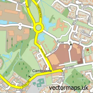
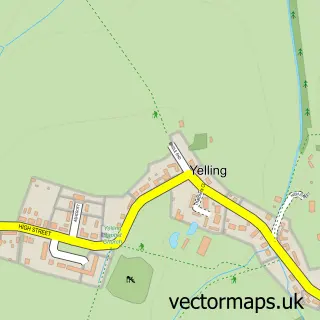
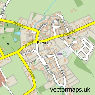
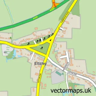
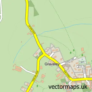
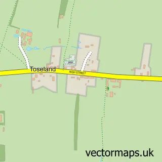
Nearby street map samples around Papworth Everard

More street maps in Cambridgeshire
750 metre map area coverage
Boundary, postcode and point of interest information for the 750m x 750m rectangle centred on this sample map.
Boundaries containing map centre
Constituency: St. Neots and Mid Cambridgeshire Co Const
County: Cambridgeshire County
District: South Cambridgeshire District
Icb: NHS Central East ICB
Parish: Papworth Everard CP
Police Force: cambridgeshire
Postcode District: CB23
Postcode Sector: CB23 3
Ward: Caxton & Papworth Ward
Nearby boundaries intersecting sample
No additional intersecting boundaries found.
Postcode coverage
POI category counts
Professional Services: 4
Charity Organization: 3
Preschool: 3
Beauty Salon: 2
Business Management Services: 2
Church Cathedral: 2
Doctor: 2
Employment Agencies: 2
Library: 2
Accountant: 1
Sample points of interest
- GMS Business Accountants
- The Cooperative Food Papworth Everard, Ermine Street North
- Courtyard Cafe
- Rejuvenate
- The Hutch Hair & Beauty
- Papworth Brewery Limited
- DBA Group
- Papworth Everard Post Office
- Post Office-Papworth Everard
- Papworth Printworks
- Home-Start Cambridgeshire
- Papworth Trust
Create a larger editable map of Papworth Everard
This sample shows only a 750 metre area. To create a larger map of Papworth Everard, use our map builder to choose your own coverage area, add titles and download editable SVG, PDF and PNG files.
Create a custom map of Papworth Everard