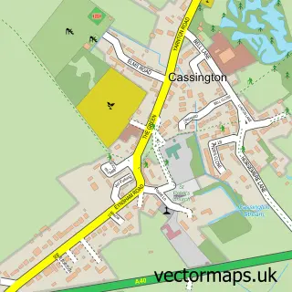
This Farmoor street map is a detailed vector street map covering a 750m x 750m area. Select a larger area to create and download your own vector street map of Farmoor.
The 750-metre map sample for Farmoor covers 162 mapped buildings and approximately 14.0 km of road detail, of which 7 named roads are named. The immediate area includes 1 GP surgery within 2 miles, 1 pub and 2 MOT stations within 2 miles. The wider area around Farmoor features 1 tourism point of interest, 1 food and drink venue and 1 campsite within 2 miles. To create a larger or custom map of Farmoor, the map builder lets you define your own coverage area and download editable SVG, PDF and PNG files.
Create a larger editable map of Farmoor
Choose any area you need and generate a high-quality vector map instantly. Perfect for print, planning, design, business and personal use.

This Farmoor street map in Oxfordshire is available as downloadable SVG, PDF and PNG map files, or as a printed map for planning, business, display, education, local information and design work. You can also create a larger custom map area using the map selector.
What this Farmoor map sample shows
Farmoor lies within Cumnor Cp parish, part of Cumnor ward in the Vale Of White Horse District local authority area. The postcode geography for this area includes the OX postcode area, the OX2 postcode district and the OX2 9 postcode sector. Residents fall under the Nhs Buckinghamshire, Oxfordshire And Berkshire West Integrated Care Board for NHS services.
Local features near Farmoor
Within 2 milesAmenities and services in and around Farmoor.
Administrative and postcode information for Farmoor
Farmoor lies within Cumnor Cp parish, part of Cumnor ward in the Vale Of White Horse District local authority area. The postcode geography for this area includes the OX postcode area, the OX2 postcode district and the OX2 9 postcode sector. Residents fall under the Nhs Buckinghamshire, Oxfordshire And Berkshire West Integrated Care Board for NHS services.
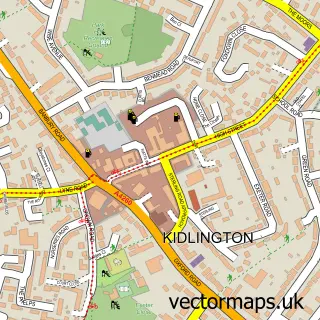
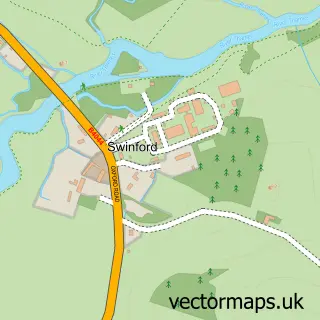
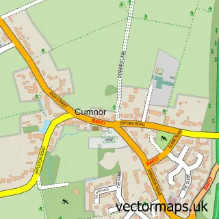
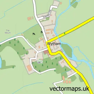
Nearby street map samples around Farmoor


More street maps in Oxfordshire
750 metre map area coverage
Boundary, postcode and point of interest information for the 750m x 750m rectangle centred on this sample map.
Boundaries containing map centre
Constituency: Oxford West and Abingdon Co Const
County: Oxfordshire County
District: Vale of White Horse District
Icb: NHS Thames Valley ICB
Parish: Cumnor CP
Police Force: thames valley
Postcode District: OX2
Postcode Sector: OX2 9
Ward: Cumnor Ward
Nearby boundaries intersecting sample
No additional intersecting boundaries found.
Postcode coverage
POI category counts
Automotive Repair: 4
Beauty Salon: 2
Limo Services: 2
Professional Services: 2
Anglican Church: 1
Assisted Living Facility: 1
Building Supply Store: 1
Education: 1
Furniture Accessory Store: 1
Grocery Store: 1
Sample points of interest
- Farmoor St Mary
- Oaken Holt Nursing And Residential Home
- All Tyres Oxford Within Farmoor Service Station
- Botley Windscreens
- Farmoor Service Station
- J & S Car Body Repairs - Oxford
- Lara's Beauty Lounge
- Thames Art Nails
- John Haynes Carpentry & Joinery
- Oxford Open Learning Trust
- John Haynes Carpentry & Joinery
- Farmoor Stores
Create a larger editable map of Farmoor
This sample shows only a 750 metre area. To create a larger map of Farmoor, use our map builder to choose your own coverage area, add titles and download editable SVG, PDF and PNG files.
Create a custom map of Farmoor