This Fenny Bentley street map is a detailed vector street map covering a 750m x 750m area. Select a larger area to create and download your own vector street map of Fenny Bentley.
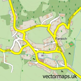
The 750-metre map sample for Fenny Bentley covers 63 mapped buildings and approximately 10.5 km of road detail, of which 2 named roads are named. The immediate area includes 1 school, 1 pub and 1 MOT station within 2 miles. The wider area around Fenny Bentley features 1 food and drink venue and 2 campsites within 2 miles. To create a larger or custom map of Fenny Bentley, the map builder lets you define your own coverage area and download editable SVG, PDF and PNG files.
Create a larger editable map of Fenny Bentley
Choose any area you need and generate a high-quality vector map instantly. Perfect for print, planning, design, business and personal use.

This Fenny Bentley street map in Derbyshire is available as downloadable SVG, PDF and PNG map files, or as a printed map for planning, business, display, education, local information and design work. You can also create a larger custom map area using the map selector.
What this Fenny Bentley map sample shows
Fenny Bentley lies within Fenny Bentley Cp parish, part of Dovedale And Parwich ward in the Derbyshire Dales District local authority area. The postcode geography for this area includes the DE postcode area, the DE6 postcode district and the DE6 1 postcode sector. Residents fall under the Nhs Derby And Derbyshire Integrated Care Board for NHS services.
Local features near Fenny Bentley
Within 2 milesAmenities and services in and around Fenny Bentley.
Administrative and postcode information for Fenny Bentley
Fenny Bentley lies within Fenny Bentley Cp parish, part of Dovedale And Parwich ward in the Derbyshire Dales District local authority area. The postcode geography for this area includes the DE postcode area, the DE6 postcode district and the DE6 1 postcode sector. Residents fall under the Nhs Derby And Derbyshire Integrated Care Board for NHS services.
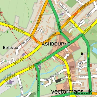
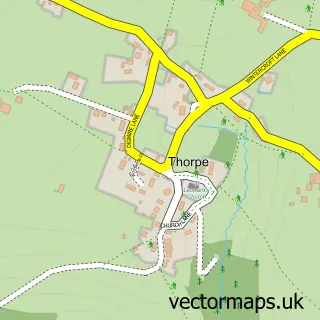
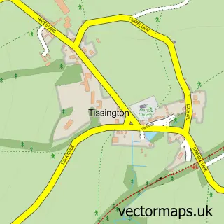
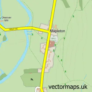
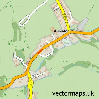
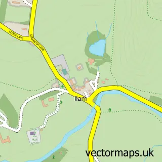
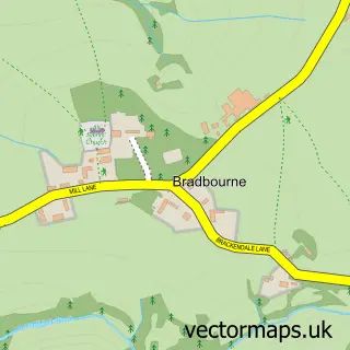
Nearby street map samples around Fenny Bentley

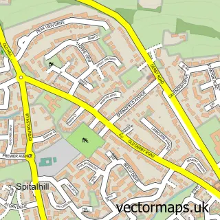
More street maps in Derbyshire
750 metre map area coverage
Boundary, postcode and point of interest information for the 750m x 750m rectangle centred on this sample map.
Boundaries containing map centre
Constituency: Derbyshire Dales Co Const
County: Derbyshire County
District: Derbyshire Dales District
Icb: NHS Derby and Derbyshire ICB
Parish: Fenny Bentley CP
Police Force: derbyshire
Postcode District: DE6
Postcode Sector: DE6 1
Ward: Dovedale, Parwich & Brassington Ward
Nearby boundaries intersecting sample
No additional intersecting boundaries found.
Postcode coverage
POI category counts
Elementary School: 2
Holiday Rental Home: 2
Anglican Church: 1
Bed And Breakfast: 1
Church Cathedral: 1
Flowers And Gifts Shop: 1
Pub: 1
Sample points of interest
- St Edmund King & Martyr, Fenny Bentley
- Cairn Grove Guest House
- St Edmund's Church
- Fitz Herbert C E Primary School
- The FitzHerbert CE Primary School
- Freedom Flowers
- Ashbourne Heights Luxury Lodge
- The Casey Holiday Cottage - Fenny Bentley Ashbourne
- Coach & Horses
Create a larger editable map of Fenny Bentley
This sample shows only a 750 metre area. To create a larger map of Fenny Bentley, use our map builder to choose your own coverage area, add titles and download editable SVG, PDF and PNG files.
Create a custom map of Fenny Bentley